Warea Facts
| Local Time | |
| Timezone | New Zealand Standard Time |
| Lat & Lng | -39.23333, 173.81667 |
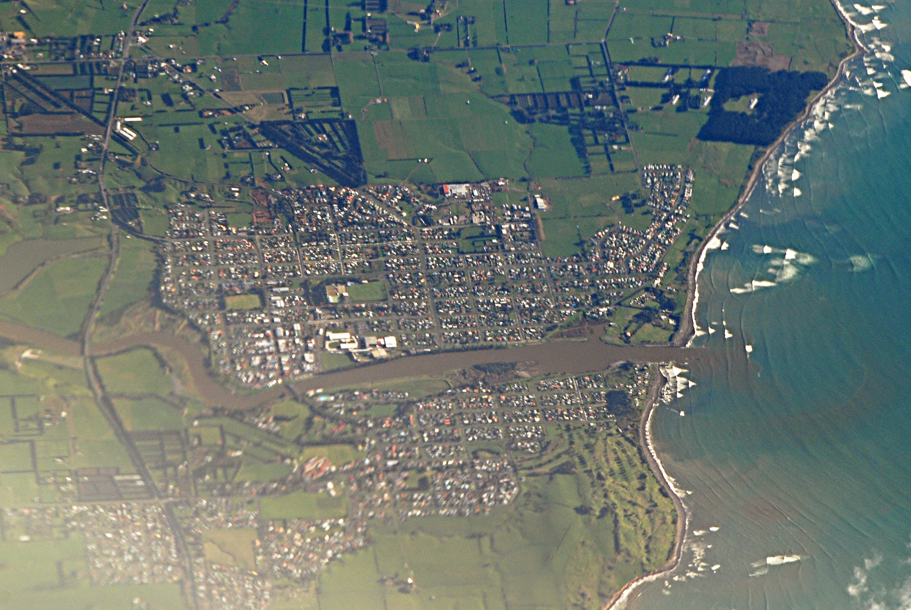
Map of Warea
Interactive Map
Recent Nearby Earthquakes
Magnitude 3.0 and greater
| Date▼ | Time↕ | Magnitude↕ | Distance↕ | Depth↕ | Location↕ | Link |
|---|---|---|---|---|---|---|
| 6/5/19 | 4:26 AM | 4.1 | 45.3 km | 253,660 m | 11km NW of Hawera, New Zealand | usgs.gov |
| 9/18/18 | 10:11 PM | 4.2 | 52.7 km | 202,680 m | 21km WSW of Hawera, New Zealand | usgs.gov |
| 11/7/16 | 4:59 PM | 4.8 | 15.3 km | 19,000 m | 11km NNW of Opunake, New Zealand | usgs.gov |
| 1/11/13 | 5:35 AM | 4.6 | 13.9 km | 11,000 m | off the west coast of the North Island of New Zealand | usgs.gov |
| 6/23/12 | 8:10 PM | 4.1 | 51.6 km | 208,000 m | North Island of New Zealand | usgs.gov |
| 3/5/12 | 7:36 PM | 4.2 | 51.4 km | 226,800 m | North Island of New Zealand | usgs.gov |
| 2/19/12 | 8:07 AM | 5 | 31.2 km | 325,400 m | North Island of New Zealand | usgs.gov |
| 1/5/12 | 11:50 PM | 4.1 | 46.5 km | 32,000 m | North Island of New Zealand | usgs.gov |
| 12/10/11 | 11:43 PM | 4.3 | 57.7 km | 207,800 m | North Island of New Zealand | usgs.gov |
| 8/1/11 | 2:39 PM | 4.2 | 42.1 km | 271,300 m | North Island of New Zealand | usgs.gov |
Source: U.S. Geological Survey (USGS)
Warea
Warea is a community in the west of Taranaki, in the North Island of New Zealand. It is located on State Highway 45, 26 kilometres north of Opunake.
Warea Wikipedia Page

About Our Data
The data on this page is estimated using a number of publicly available tools and resources. It is provided without warranty, and could contain inaccuracies. Use at your own risk.