Jayune Facts
| Local Time | |
| Timezone | Peru Standard Time |
| Lat & Lng | -15.56277, -71.30312 |
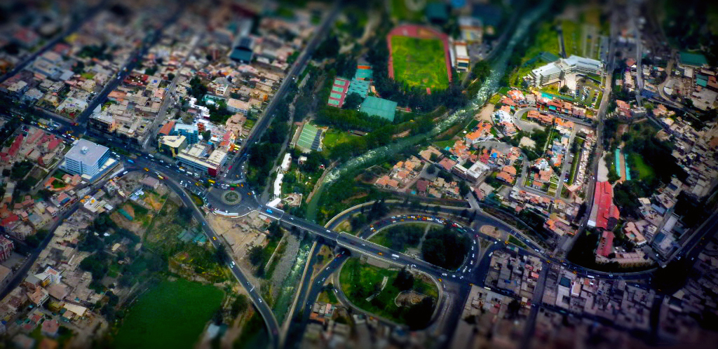
Map of Jayune
Interactive Map
Recent Nearby Earthquakes
Magnitude 3.0 and greater
| Date▼ | Time↕ | Magnitude↕ | Distance↕ | Depth↕ | Location↕ | Link |
|---|---|---|---|---|---|---|
| 6/4/19 | 2:04 AM | 4.2 | 37.5 km | 90,810 m | 12km W of Huarancante, Peru | usgs.gov |
| 1/25/19 | 5:40 PM | 4.8 | 50.9 km | 138,340 m | 31km NW of Ccolo, Peru | usgs.gov |
| 9/14/18 | 11:20 AM | 5.4 | 49.9 km | 129,550 m | 2km ESE of Pucara, Peru | usgs.gov |
| 1/15/18 | 2:27 PM | 4.5 | 8.1 km | 133,640 m | 8km WNW of Jayune, Peru | usgs.gov |
| 1/12/18 | 3:03 PM | 4.5 | 14.2 km | 166,450 m | 14km ENE of Jayune, Peru | usgs.gov |
| 8/18/17 | 12:53 AM | 4.4 | 17.5 km | 140,870 m | 17km NNE of Jayune, Peru | usgs.gov |
| 4/30/17 | 3:11 PM | 4.4 | 43.2 km | 10,000 m | 11km WNW of Chivay, Peru | usgs.gov |
| 2/24/17 | 3:11 AM | 4.9 | 46 km | 142,040 m | 19km WSW of Huarancante, Peru | usgs.gov |
| 12/15/16 | 7:14 AM | 4.6 | 37.1 km | 10,000 m | 37km NNE of Jayune, Peru | usgs.gov |
| 12/3/16 | 5:52 AM | 4.3 | 46.4 km | 10,000 m | 38km NNE of Huarichancara, Peru | usgs.gov |
Source: U.S. Geological Survey (USGS)


About Our Data
The data on this page is estimated using a number of publicly available tools and resources. It is provided without warranty, and could contain inaccuracies. Use at your own risk.