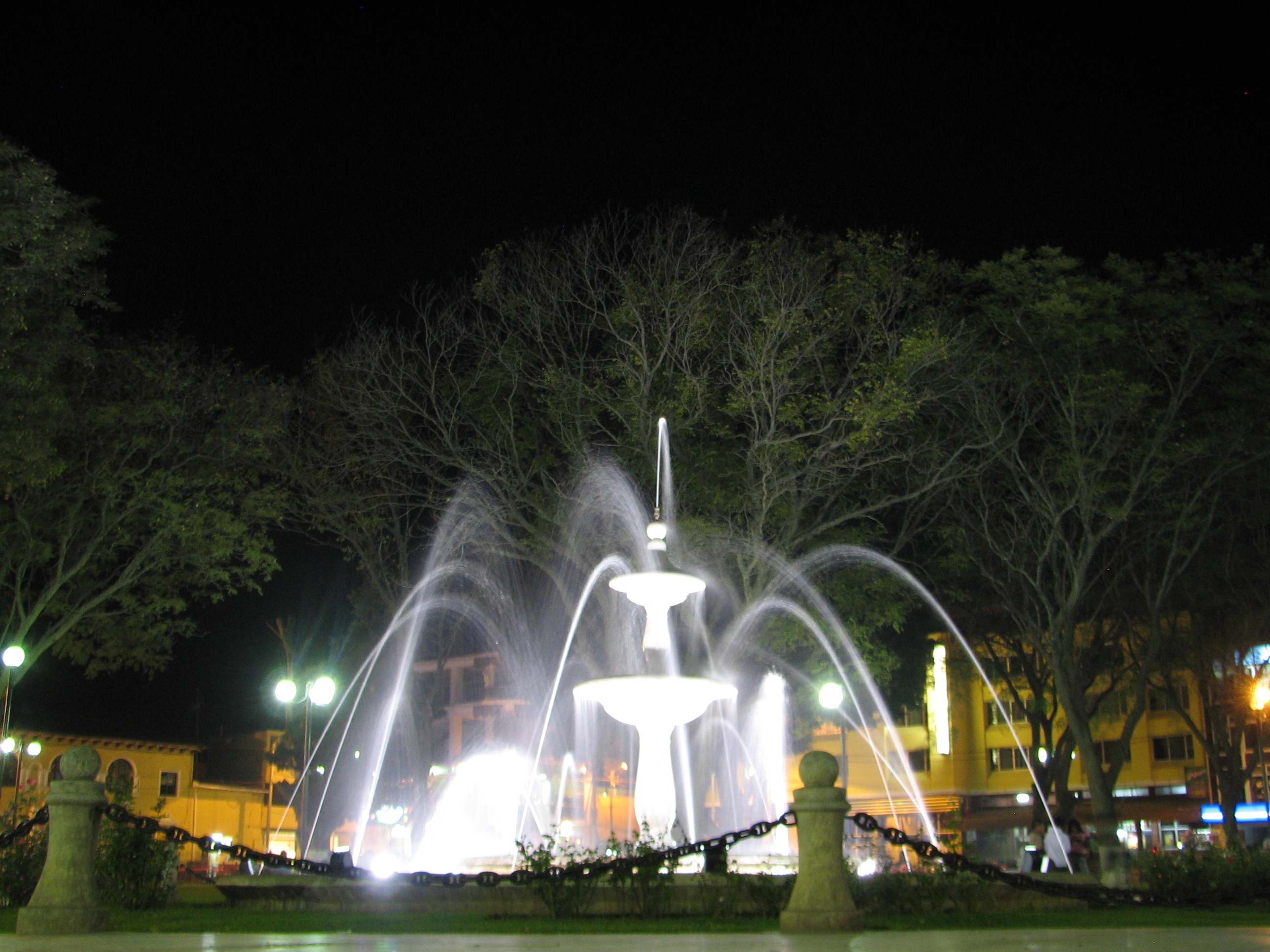
Yanacancha Facts
| Local Time | |
| Timezone | Peru Standard Time |
| Lat & Lng | -10.24111, -76.64556 |
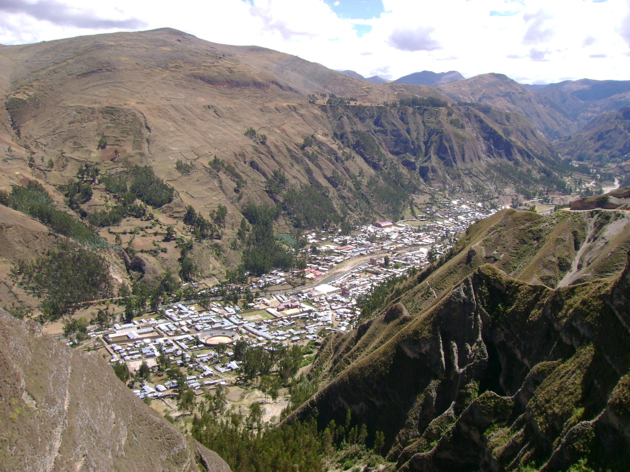
Map of Yanacancha
Interactive Map
Recent Nearby Earthquakes
Magnitude 3.0 and greater
| Date▼ | Time↕ | Magnitude↕ | Distance↕ | Depth↕ | Location↕ | Link |
|---|---|---|---|---|---|---|
| 8/13/19 | 3:50 PM | 4.9 | 70.3 km | 14,880 m | 66km SW of La Union, Peru | usgs.gov |
| 9/7/18 | 10:34 PM | 4.4 | 72.5 km | 108,940 m | 21km N of Huanuco, Peru | usgs.gov |
| 7/14/17 | 5:41 PM | 4.4 | 79 km | 119,140 m | 36km WSW of Oyon, Peru | usgs.gov |
| 7/9/16 | 1:44 PM | 4.4 | 76.6 km | 119,420 m | 11km ESE of Tinyahuarco, Peru | usgs.gov |
| 12/13/15 | 7:11 PM | 4.5 | 47.7 km | 13,000 m | 15km WNW of Huanuco, Peru | usgs.gov |
| 10/29/15 | 4:02 AM | 4.3 | 26.4 km | 106,980 m | 23km W of Chaupimarca, Peru | usgs.gov |
| 10/28/15 | 9:02 AM | 4.5 | 45.8 km | 126,740 m | 9km NW of Oyon, Peru | usgs.gov |
| 12/17/14 | 2:24 PM | 4.2 | 43.3 km | 108,350 m | 35km SW of La Union, Peru | usgs.gov |
| 7/8/14 | 10:44 AM | 4.4 | 17.9 km | 93,450 m | 17km E of Yanacancha, Peru | usgs.gov |
| 4/29/12 | 5:07 AM | 4.3 | 73.8 km | 10,000 m | central Peru | usgs.gov |
Source: U.S. Geological Survey (USGS)

About Our Data
The data on this page is estimated using a number of publicly available tools and resources. It is provided without warranty, and could contain inaccuracies. Use at your own risk.