Categories in Capas, Tarlac
Industries
Business Distribution by Industry in Capas, Tarlac
| Industry Description | Number of Establishments |
|---|---|
| Restaurants | 167 |
| Shopping | 156 |
| Travel and transportation | 87 |
| Churches | 71 |
| Education | 67 |
| Cafes | 64 |
| Grocery stores and supermarkets | 55 |
| Religion | 50 |
Capas, Tarlac Facts
| Area | 409.6 km² |
| Population | 151,593 |
| Male Population | 77,821 (51.3%) |
| Female Population | 73,772 (48.7%) |
| Population change (1975 to 2020) | +356.9% |
| Population change (2000 to 2020) | +31.3% |
| Median Age | 22.4 years (Male: 21.9, Female: 23) |
| Area Codes | 45 |
| Neighborhoods | Santa Lucia, Cristo Rey, O'Donnell, Tarukan, Lawy |
| Local Time | |
| Timezone | Philippine Standard Time |
| Lat & Lng | 15.33117, 120.58980 |
| Zip Codes | 2333 |
Map of Capas, Tarlac
Interactive Map
Capas, Tarlac Population
Years 1975 to 2020
| Data | 1975 | 1990 | 2000 | 2015 | 2020 |
|---|---|---|---|---|---|
| Population | 33,176 | 81,343 | 115,493 | 139,141 | 151,593 |
| Population Density | 81 / km² | 198.6 / km² | 282 / km² | 339.7 / km² | 370.1 / km² |
Capas, Tarlac Population change from 2000 to 2015
Increase of 20.5% from year 2000 to 2015
| Location | Change since 1975 | Change since 1990 | Change since 2000 |
|---|---|---|---|
| Capas, Tarlac | +319.4% | +71.1% | +20.5% |
| Philippines | +146.5% | +63.3% | +29.5% |
Capas, Tarlac Median Age
Median Age: 22.4 years
| Location | Median Age | Median Age (Female) | Median Age (Male) |
|---|---|---|---|
| Capas, Tarlac | 22.4 yrs | 23 yrs | 21.9 yrs |
| Philippines | 23.2 yrs | 23.6 yrs | 22.8 yrs |
Capas, Tarlac Population Density
Population Density: 370 / km²
| Location | Population | Area | Density |
|---|---|---|---|
| Capas, Tarlac | 151,593 | 409.6 km² | 370 / km² |
| Philippines | 96.6 million | 296,939.4 km² | 325 / km² |
Capas, Tarlac Historical and Projected Population
Estimated Population from 1810 to 2100
- JRC (European Commission's Joint Research Centre) work on the GHS built-up grid
- CIESIN (Center for International Earth Science Information Network)
- [Link] Klein Goldewijk, K., Beusen, A., Doelman, J., and Stehfest, E.: Anthropogenic land use estimates for the Holocene – HYDE 3.2, Earth Syst. Sci. Data, 9, 927–953, https://doi.org/10.5194/essd-9-927-2017, 2017.
Neighborhoods in Capas, Tarlac
Percentage of businesses by neighborhood in Capas, Tarlac
Area Codes
Percentage Area Codes used by businesses in Capas, Tarlac
Price Distribution
Business distribution by price for Capas, Tarlac
Human Development Index (HDI)
Statistic composite index of life expectancy, education, and per capita income.
Capas, Tarlac CO2 Emissions
Carbon Dioxide (CO2) Emissions Per Capita in Tonnes Per Year
| Location | CO2 Emissions | CO2 Emissions Per Capita | CO2 Emissions Intensity |
|---|---|---|---|
| Capas, Tarlac | 193,734 tn | 1.28 tn | 473 tons/km² |
| Philippines | 104,920,564 tn | 1.09 tn | 353.3 tons/km² |
| 2013 CO2 emissions (tonnes/year) | 193,734 tn |
| 2013 CO2 emissions (tonnes/year) per capita | 1.28 tn |
| 2013 CO2 emissions intensity (tonnes/km²/year) | 473 tons/km² |
Natural Hazards Risk
Relative risk out of 10
| Hazard | Risk Level |
|---|---|
| Drought | Low (2) |
| Flood | High (10) |
| Earthquake | High (8) |
| Cyclone | High (10) |
| Landslide | High (8) |
* Risk, particularly concerning flood or landslide, may not be for the entire area.
- Dilley, M., R.S. Chen, U. Deichmann, A.L. Lerner-Lam, M. Arnold, J. Agwe, P. Buys, O. Kjekstad, B. Lyon, and G. Yetman. 2005. Natural Disaster Hotspots: A Global Risk Analysis. Washington, D.C.: World Bank. https://doi.org/10.1596/0-8213-5930-4.
- Center for Hazards and Risk Research - CHRR - Columbia University, Center for International Earth Science Information Network - CIESIN - Columbia University, and Norwegian Geotechnical Institute - NGI. 2005. Global Landslide Hazard Distribution. Palisades, NY: NASA Socioeconomic Data and Applications Center (SEDAC). https://doi.org/10.7927/H4P848VZ.
- Center for Hazards and Risk Research - CHRR - Columbia University, Center for International Earth Science Information Network - CIESIN - Columbia University, International Bank for Reconstruction and Development - The World Bank, and United Nations Environment Programme Global Resource Information Database Geneva - UNEP/GRID-Geneva. 2005. Global Cyclone Hazard Frequency and Distribution. Palisades, NY: NASA Socioeconomic Data and Applications Center (SEDAC). https://doi.org/10.7927/H4CZ353K.
- Center for Hazards and Risk Research - CHRR - Columbia University, Center for International Earth Science Information Network - CIESIN - Columbia University, and International Research Institute for Climate and Society - IRI - Columbia University. 2005. Global Drought Hazard Frequency and Distribution. Palisades, NY: NASA Socioeconomic Data and Applications Center (SEDAC). https://doi.org/10.7927/H4VX0DFT.
- Center for Hazards and Risk Research - CHRR - Columbia University, Center for International Earth Science Information Network - CIESIN - Columbia University. 2005. Global Flood Hazard Frequency and Distribution. Palisades, NY: NASA Socioeconomic Data and Applications Center (SEDAC). https://doi.org/10.7927/H4668B3D.
- Center for Hazards and Risk Research - CHRR - Columbia University, Center for International Earth Science Information Network - CIESIN - Columbia University. 2005. Global Earthquake Hazard Distribution - Peak Ground Acceleration. Palisades, NY: NASA Socioeconomic Data and Applications Center (SEDAC). https://doi.org/10.7927/H4BZ63ZS.
Recent Nearby Earthquakes
Magnitude 3.0 and greater
| Date▼ | Time↕ | Magnitude↕ | Distance↕ | Depth↕ | Location↕ | Link |
|---|---|---|---|---|---|---|
| 4/22/19 | 9:11 AM | 6.1 | 42.5 km | 21,840 m | 3km SSW of Floridablanca, Philippines | usgs.gov |
| 2/7/19 | 10:28 PM | 4.3 | 40.5 km | 156,490 m | 1km SSW of Maturanoc, Philippines | usgs.gov |
| 12/28/18 | 11:47 AM | 4.6 | 8.8 km | 165,920 m | 1km ESE of Concepcion, Philippines | usgs.gov |
| 5/25/17 | 2:27 PM | 5.3 | 40.9 km | 75,460 m | 15km ENE of Santa Fe, Philippines | usgs.gov |
| 12/15/15 | 12:12 AM | 4.1 | 37.1 km | 10,720 m | 1km SSW of San Juan, Philippines | usgs.gov |
| 10/2/14 | 4:13 PM | 4.7 | 27.2 km | 203,560 m | 3km WSW of Arayat, Philippines | usgs.gov |
| 6/29/14 | 10:25 PM | 4.1 | 30.6 km | 10,000 m | 13km WSW of Santa Juliana, Philippines | usgs.gov |
| 5/29/14 | 6:42 PM | 4.4 | 33.7 km | 130,970 m | 17km WSW of Santa Juliana, Philippines | usgs.gov |
| 3/13/13 | 6:49 PM | 4.3 | 29.6 km | 69,900 m | 7km NNE of Olongapo, Philippines | usgs.gov |
| 11/19/12 | 7:54 AM | 4.1 | 9 km | 158,800 m | Luzon, Philippines | usgs.gov |
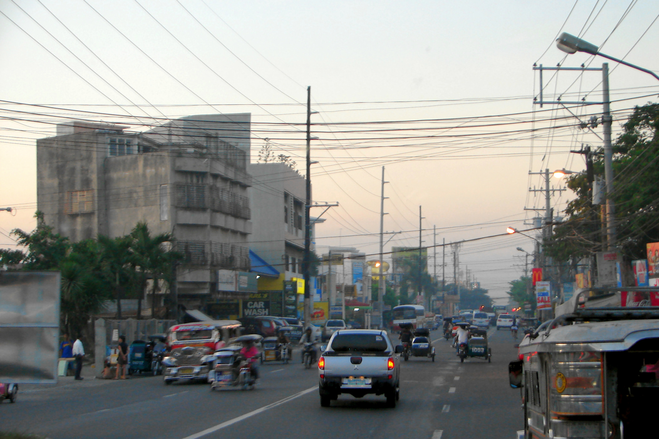
Capas, Tarlac
Capas (Filipino: Bayan ng Capas; Kapampangan: Balen ning Capas; Ilocano: Ili ti Capaz) is a first class highly urbanized municipality in the province of Tarlac, Philippines, and one of the richest towns in the province. The town also consists of nume..
Capas, Tarlac Wikipedia Page


About Our Data
The data on this page is estimated using a number of publicly available tools and resources. It is provided without warranty, and could contain inaccuracies. Use at your own risk.