Categories in Mabunga
Mabunga Facts
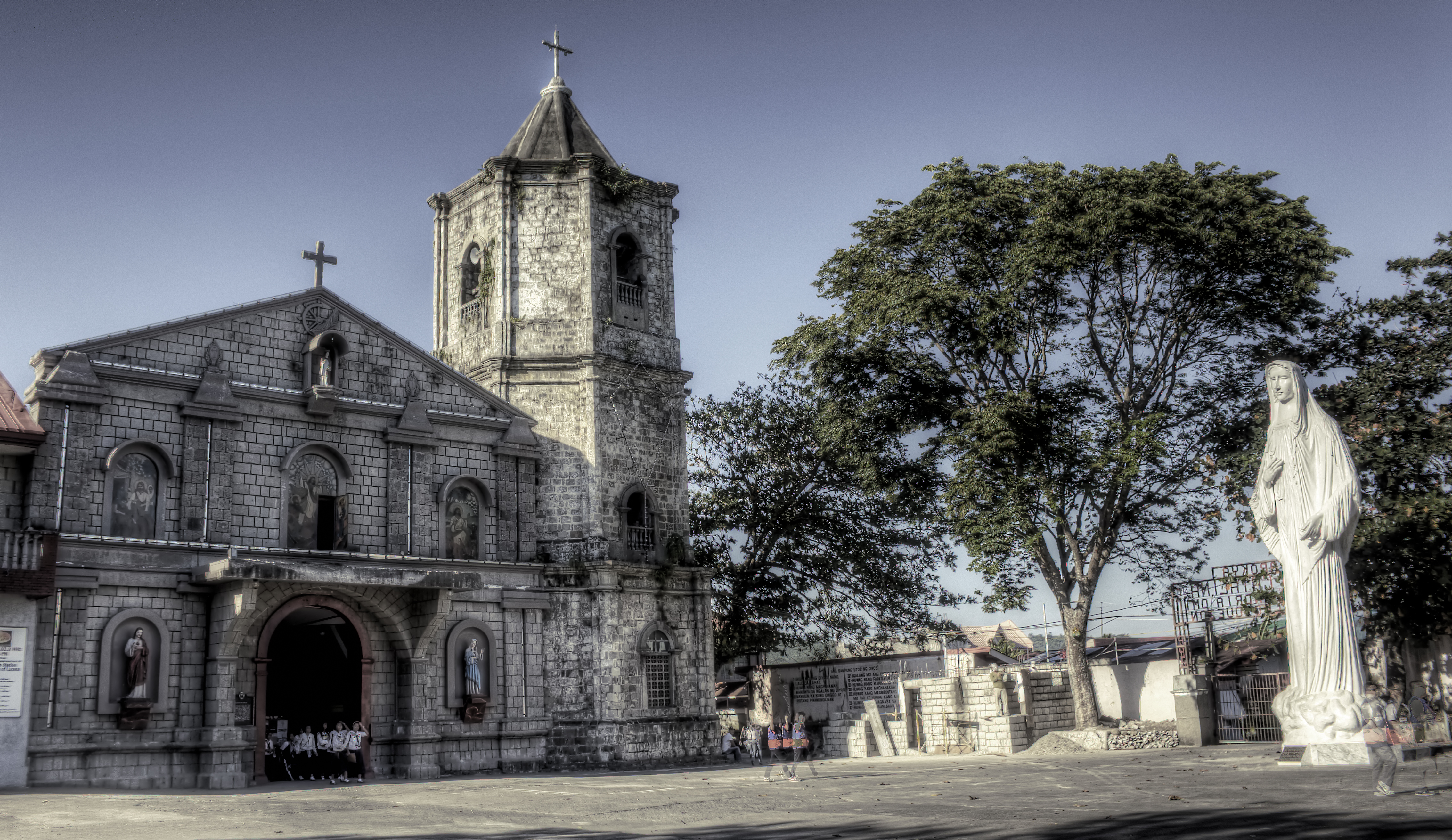
| Neighborhoods | Maybunga |
| Local Time | |
| Timezone | Philippine Standard Time |
| Lat & Lng | 13.86340, 122.06770 |
Map of Mabunga
Interactive Map
Price Distribution
Business distribution by price for Mabunga
Recent Nearby Earthquakes
Magnitude 3.0 and greater
| Date▼ | Time↕ | Magnitude↕ | Distance↕ | Depth↕ | Location↕ | Link |
|---|---|---|---|---|---|---|
| 7/4/19 | 3:00 AM | 4.5 | 63.5 km | 10,000 m | 0km SSE of Montecillo, Philippines | usgs.gov |
| 2/6/19 | 6:01 AM | 4.6 | 24.2 km | 10,000 m | 5km S of Marao, Philippines | usgs.gov |
| 12/10/18 | 6:14 PM | 4.5 | 88 km | 35,000 m | 4km WSW of San Andres, Philippines | usgs.gov |
| 10/6/18 | 2:16 PM | 4.2 | 84.1 km | 42,750 m | 4km N of Bao, Philippines | usgs.gov |
| 7/16/18 | 10:09 AM | 4.3 | 58.2 km | 40,310 m | 29km NE of Perez, Philippines | usgs.gov |
| 7/5/18 | 9:00 PM | 4.4 | 58.3 km | 35,000 m | 21km NNE of Perez, Philippines | usgs.gov |
| 7/10/16 | 11:37 AM | 4.5 | 72.9 km | 40,430 m | 13km W of Bao, Philippines | usgs.gov |
| 6/22/16 | 2:27 AM | 4.3 | 9.4 km | 93,020 m | 5km ENE of Pitogo, Philippines | usgs.gov |
| 2/5/16 | 5:28 AM | 4.4 | 34.7 km | 10,000 m | 8km ESE of San Francisco, Philippines | usgs.gov |
| 2/5/16 | 5:00 AM | 5.3 | 29.5 km | 10,000 m | 3km ENE of San Francisco, Philippines | usgs.gov |
Source: U.S. Geological Survey (USGS)


About Our Data
The data on this page is estimated using a number of publicly available tools and resources. It is provided without warranty, and could contain inaccuracies. Use at your own risk.