Muricay Facts
| Local Time | |
| Timezone | Philippine Standard Time |
| Lat & Lng | 7.82750, 123.47820 |
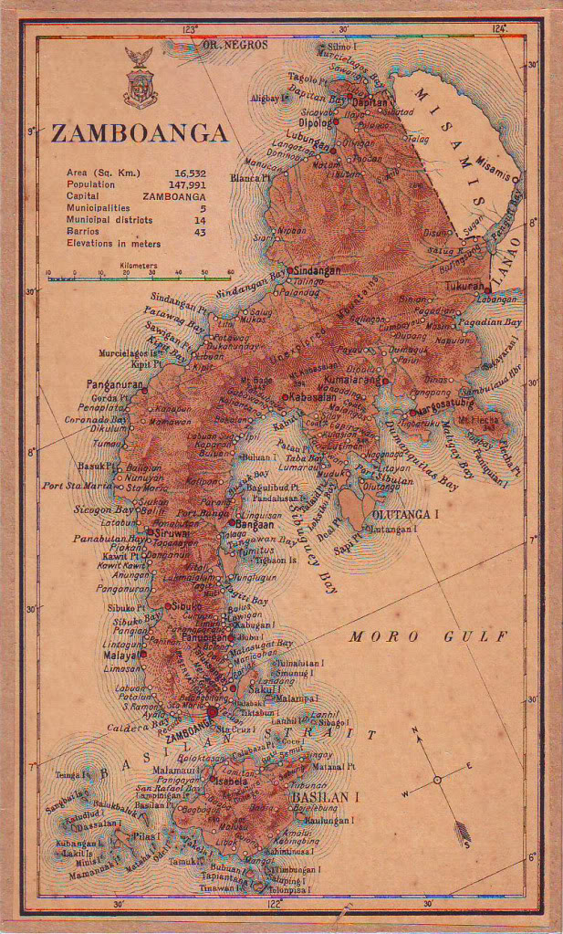
Map of Muricay
Interactive Map
Recent Nearby Earthquakes
Magnitude 3.0 and greater
| Date▼ | Time↕ | Magnitude↕ | Distance↕ | Depth↕ | Location↕ | Link |
|---|---|---|---|---|---|---|
| 11/4/18 | 7:55 AM | 6 | 43.5 km | 600,710 m | 10km SSE of Sapad, Philippines | usgs.gov |
| 8/6/18 | 10:18 PM | 4.5 | 58.8 km | 45,310 m | 25km SE of Malim, Philippines | usgs.gov |
| 6/1/18 | 10:21 AM | 5.3 | 62.4 km | 574,920 m | 32km ESE of Malim, Philippines | usgs.gov |
| 11/5/17 | 4:53 PM | 4.5 | 14.4 km | 13,430 m | 5km NNW of San Pablo, Philippines | usgs.gov |
| 9/29/16 | 12:46 AM | 4.4 | 26.3 km | 21,650 m | 6km NE of Tiguha, Philippines | usgs.gov |
| 4/15/16 | 10:57 PM | 4.4 | 65.2 km | 606,670 m | 19km WNW of Litayan, Philippines | usgs.gov |
| 9/23/15 | 11:53 AM | 4.5 | 58.6 km | 58,000 m | 17km SSE of Seres, Philippines | usgs.gov |
| 8/2/15 | 1:08 PM | 5.2 | 56.6 km | 602,930 m | 2km S of Clarin, Philippines | usgs.gov |
| 5/21/15 | 12:14 PM | 4.4 | 62.8 km | 598,230 m | 22km WNW of Litayan, Philippines | usgs.gov |
| 4/10/15 | 7:02 PM | 4.3 | 51.8 km | 45,290 m | 13km NW of Josefina, Philippines | usgs.gov |
Source: U.S. Geological Survey (USGS)


About Our Data
The data on this page is estimated using a number of publicly available tools and resources. It is provided without warranty, and could contain inaccuracies. Use at your own risk.