Categories in Tarong
Tarong Facts
| Local Time | |
| Timezone | Philippine Standard Time |
| Lat & Lng | 11.53140, 123.13200 |
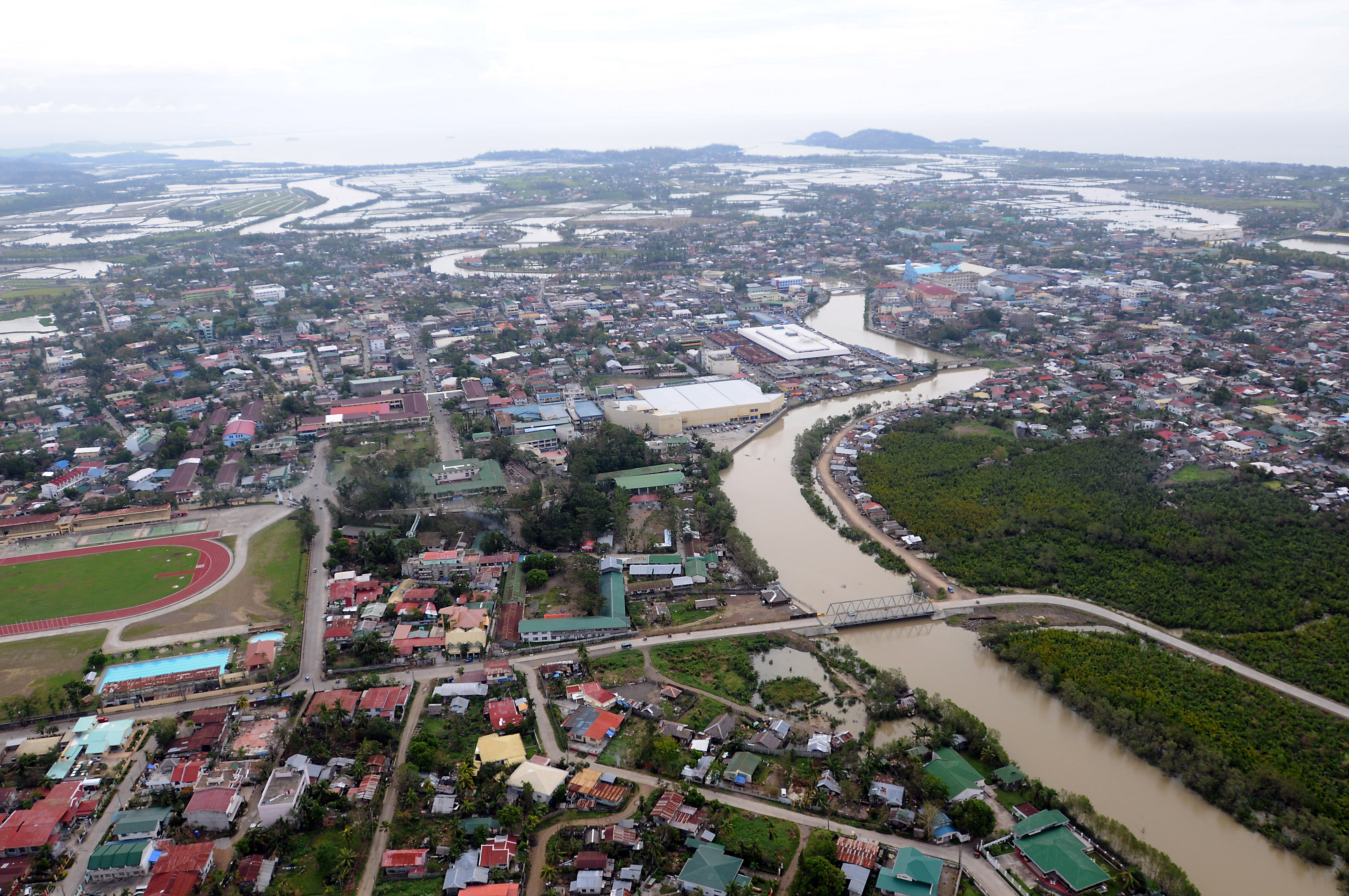
Map of Tarong
Interactive Map
Recent Nearby Earthquakes
Magnitude 3.0 and greater
| Date▼ | Time↕ | Magnitude↕ | Distance↕ | Depth↕ | Location↕ | Link |
|---|---|---|---|---|---|---|
| 5/19/19 | 10:45 PM | 4.5 | 77.7 km | 35,000 m | 7km SW of Tigbaw, Philippines | usgs.gov |
| 1/5/19 | 1:05 PM | 4.2 | 70.2 km | 63,360 m | 10km SSE of Bangad, Philippines | usgs.gov |
| 10/8/17 | 12:42 PM | 4.5 | 74.6 km | 30,660 m | 3km WSW of Tapas, Philippines | usgs.gov |
| 5/22/17 | 5:55 AM | 4.5 | 84.3 km | 59,890 m | 3km ENE of Recodo, Philippines | usgs.gov |
| 1/3/15 | 4:50 AM | 4.4 | 67.1 km | 71,290 m | 10km S of Bangad, Philippines | usgs.gov |
| 12/27/12 | 1:41 PM | 4.8 | 95.5 km | 35,000 m | Masbate region, Philippines | usgs.gov |
| 8/1/08 | 6:14 PM | 4.6 | 80.6 km | 14,200 m | Panay, Philippines | usgs.gov |
| 6/21/06 | 11:10 PM | 4 | 59.6 km | 35,000 m | Masbate region, Philippines | usgs.gov |
| 12/11/05 | 9:30 PM | 4.3 | 73.3 km | 35,000 m | Masbate region, Philippines | usgs.gov |
| 11/11/05 | 7:58 PM | 4.2 | 31.3 km | 10,000 m | Visayan Sea, Philippines | usgs.gov |
Source: U.S. Geological Survey (USGS)


About Our Data
The data on this page is estimated using a number of publicly available tools and resources. It is provided without warranty, and could contain inaccuracies. Use at your own risk.