Barapind Facts
| Neighborhoods | Bazar Mahalla, Basetar Mahalla |
| Local Time | |
| Timezone | Pakistan Standard Time |
| Lat & Lng | 32.34694, 74.98475 |
Map of Barapind
Interactive Map
Recent Nearby Earthquakes
Magnitude 3.0 and greater
| Date▼ | Time↕ | Magnitude↕ | Distance↕ | Depth↕ | Location↕ | Link |
|---|---|---|---|---|---|---|
| 11/5/15 | 4:27 PM | 3.1 | 80.5 km | 59,820 m | 15km SSW of Narang, Pakistan | usgs.gov |
| 5/2/13 | 12:30 AM | 4.2 | 95.2 km | 10,000 m | Kashmir-India border region | usgs.gov |
| 5/20/08 | 11:42 PM | 3.8 | 89.7 km | 35,000 m | Kashmir-India border region | usgs.gov |
| 2/15/05 | 9:48 PM | 4.2 | 55.1 km | 50,400 m | India-Pakistan border region | usgs.gov |
| 11/28/04 | 9:17 PM | 3.9 | 99.5 km | 37,900 m | southwestern Kashmir | usgs.gov |
| 9/18/99 | 4:30 PM | 4.3 | 95.2 km | 33,000 m | eastern Kashmir | usgs.gov |
| 7/6/98 | 10:24 AM | 4.2 | 93.2 km | 82,800 m | Kashmir-India border region | usgs.gov |
| 3/24/95 | 11:52 AM | 4.9 | 98.3 km | 33,000 m | Kashmir-India border region | usgs.gov |
| 5/13/94 | 9:19 AM | 4.4 | 53.8 km | 33,000 m | Kashmir-India border region | usgs.gov |
| 4/2/88 | 10:48 PM | 4 | 55 km | 33,000 m | southwestern Kashmir | usgs.gov |
Source: U.S. Geological Survey (USGS)
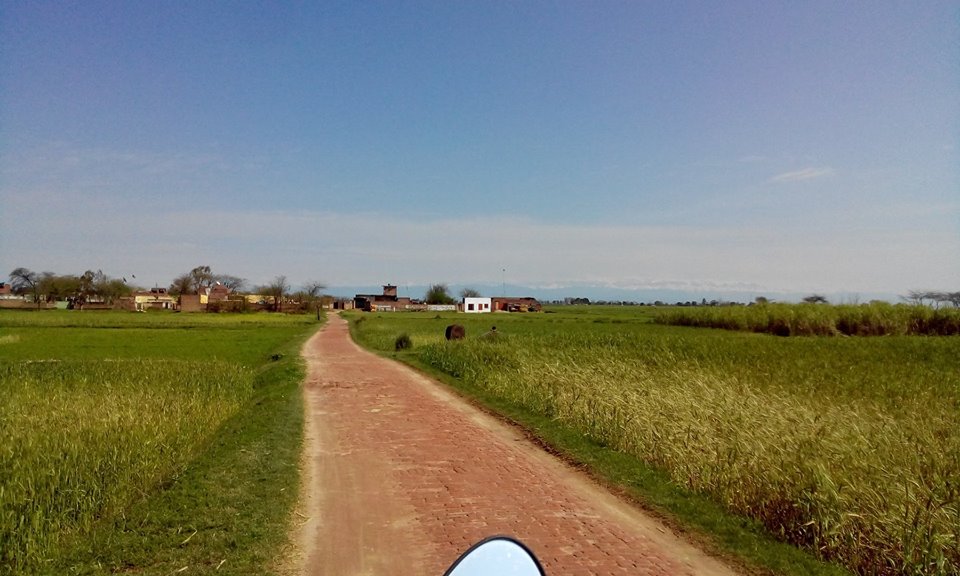
Barapind
Barapind, or Bara Pind (Punjabi, Urdu: بڑا پنڈ ), is a village of Zafarwal Tehsil, Narowal District, Punjab, Pakistan. It is located in the northeastern corner of Punjab and is geographically situated at 75E and 32N.
Barapind Wikipedia Page

About Our Data
The data on this page is estimated using a number of publicly available tools and resources. It is provided without warranty, and could contain inaccuracies. Use at your own risk.