Chandral Facts
| Local Time | |
| Timezone | Pakistan Standard Time |
| Lat & Lng | 33.16001, 73.78403 |
Map of Chandral
Interactive Map
Recent Nearby Earthquakes
Magnitude 3.0 and greater
| Date▼ | Time↕ | Magnitude↕ | Distance↕ | Depth↕ | Location↕ | Link |
|---|---|---|---|---|---|---|
| 4/10/18 | 11:47 AM | 3.6 | 46.6 km | 32,940 m | 14km SSE of Kahuta, Pakistan | usgs.gov |
| 8/27/17 | 12:24 PM | 4.6 | 86.3 km | 32,110 m | 7km WSW of Rawalpindi, Pakistan | usgs.gov |
| 12/17/16 | 5:25 PM | 4.5 | 98.8 km | 36,070 m | 8km NNE of Bagh, Pakistan | usgs.gov |
| 11/24/16 | 2:16 PM | 4.5 | 95.1 km | 37,810 m | 33km NNW of Chakwal, Pakistan | usgs.gov |
| 7/24/15 | 9:30 PM | 4.6 | 47.8 km | 39,110 m | 5km N of Gujar Khan, Pakistan | usgs.gov |
| 7/24/15 | 8:59 PM | 5.1 | 94.8 km | 17,030 m | 19km WSW of Murree, Pakistan | usgs.gov |
| 4/19/14 | 8:12 PM | 4 | 52.8 km | 45,530 m | 25km NNW of Mandi Bahauddin, Pakistan | usgs.gov |
| 3/26/14 | 7:52 PM | 4 | 32.1 km | 5,320 m | 2km SSW of Nazir Town, Pakistan | usgs.gov |
| 12/4/13 | 10:58 AM | 4.2 | 6.8 km | 29,390 m | 4km SW of New Mirpur, Pakistan | usgs.gov |
| 4/4/13 | 5:39 PM | 4.5 | 73.2 km | 13,700 m | Pakistan | usgs.gov |
Source: U.S. Geological Survey (USGS)
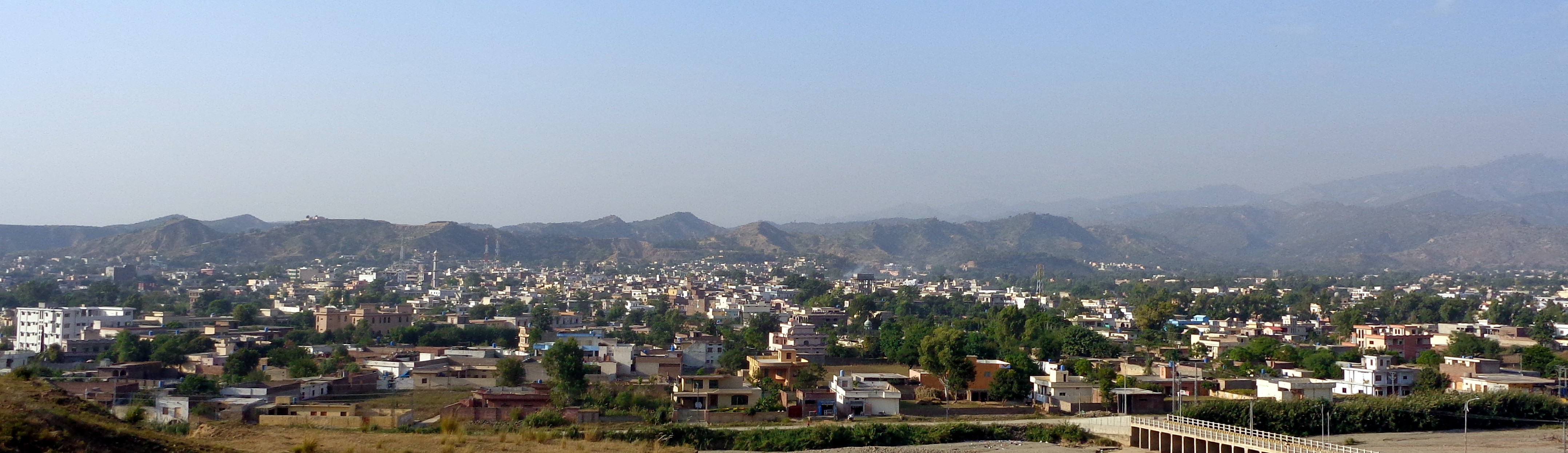
Chandral
Chandral is a small village situated several kilometres north east of Mirpur, Azad Kashmir. It has a population of several hundred.
Chandral Wikipedia Page

About Our Data
The data on this page is estimated using a number of publicly available tools and resources. It is provided without warranty, and could contain inaccuracies. Use at your own risk.