Muhammad Nagar Facts
| Local Time | |
| Timezone | Pakistan Standard Time |
| Lat & Lng | 30.26796, 72.97696 |
Map of Muhammad Nagar
Interactive Map
Area Codes
Percentage Area Codes used by businesses in Muhammad Nagar
Recent Nearby Earthquakes
Magnitude 3.0 and greater
| Date▼ | Time↕ | Magnitude↕ | Distance↕ | Depth↕ | Location↕ | Link |
|---|---|---|---|---|---|---|
| 8/6/07 | 9:52 PM | 3.8 | 41.4 km | 37,700 m | Pakistan | usgs.gov |
| 8/16/03 | 12:32 AM | 4 | 93 km | 33,000 m | Pakistan | usgs.gov |
| 8/4/01 | 4:03 PM | 4.4 | 78 km | 33,000 m | Pakistan | usgs.gov |
| 5/22/85 | 1:57 PM | 5 | 79.3 km | 33,000 m | India-Pakistan border region | usgs.gov |
| 10/6/84 | 10:04 AM | 4.5 | 61 km | 33,000 m | India-Pakistan border region | usgs.gov |
Source: U.S. Geological Survey (USGS)
Muhammad Nagar
Muhammad Nagar (Urdu: مُحَمَّد نگر), is a town and union council of Depalpur Tehsil in the Okara District of Punjab Province, Pakistan. Muhammad Nagar includes large villages like Chak Ganda Singh, Faiz Abaad, Kholay Mureed, Chak Boota Raam now know..
Muhammad Nagar Wikipedia Page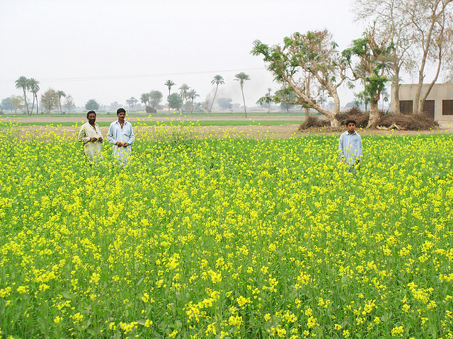

About Our Data
The data on this page is estimated using a number of publicly available tools and resources. It is provided without warranty, and could contain inaccuracies. Use at your own risk.