Shawa Facts
| Local Time | |
| Timezone | Pakistan Standard Time |
| Lat & Lng | 33.24278, 70.48380 |
Map of Shawa
Interactive Map
Recent Nearby Earthquakes
Magnitude 3.0 and greater
| Date▼ | Time↕ | Magnitude↕ | Distance↕ | Depth↕ | Location↕ | Link |
|---|---|---|---|---|---|---|
| 6/9/19 | 2:36 AM | 4.2 | 87.5 km | 35,000 m | 14km WSW of Kamar Mushani, Pakistan | usgs.gov |
| 5/9/18 | 3:23 AM | 5.4 | 12.4 km | 19,350 m | 18km NNW of Bannu, Pakistan | usgs.gov |
| 4/23/18 | 12:18 AM | 4.3 | 72.3 km | 37,540 m | 18km ENE of Karak, Pakistan | usgs.gov |
| 5/31/15 | 4:55 PM | 4.5 | 87.8 km | 37,520 m | 23km NW of Kalabagh, Pakistan | usgs.gov |
| 12/13/13 | 1:55 AM | 4.2 | 98.9 km | 47,450 m | 41km ENE of Wana, Pakistan | usgs.gov |
| 11/29/13 | 8:26 AM | 4.1 | 25.9 km | 40,540 m | 16km S of Doaba, Pakistan | usgs.gov |
| 11/18/12 | 1:25 PM | 4.4 | 75.4 km | 35,000 m | Afghanistan-Pakistan border region | usgs.gov |
| 9/5/11 | 8:46 PM | 4.6 | 49.5 km | 10,000 m | Pakistan | usgs.gov |
| 9/13/10 | 7:23 PM | 4.5 | 74.7 km | 35,000 m | Afghanistan-Pakistan border region | usgs.gov |
| 9/13/10 | 7:14 PM | 4.7 | 73.5 km | 35,000 m | Afghanistan-Pakistan border region | usgs.gov |
Source: U.S. Geological Survey (USGS)
Shawa
Shawa is a village in Lower Dir District, Khyber-Pakhtunkhwa, on the road between Chakdara and Asbanr. The village is 5 km (3 miles) away from Chakdara city, which is located near Churchill Piquet on the banks of the Swat River. Its population is abo..
Shawa Wikipedia Page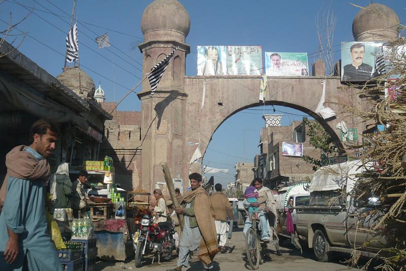

About Our Data
The data on this page is estimated using a number of publicly available tools and resources. It is provided without warranty, and could contain inaccuracies. Use at your own risk.