Categories in Thall
Auto Parts StoreCar WashGas StationFarmingWholesalersClothing storesMobile phone storesCommunity CenterGovernment OfficeMosquesReligionShrineElectronics StoreMobile Phone Repair ShopHardware storeHome Goods StoreCollegeEducationElementary SchoolHigh SchoolMiddle SchoolPrimary SchoolBakeriesFast food restaurantsGrocery stores and supermarketsRestaurantsNurseries and garden suppliesBanksCemeteryHospitalsApartment BuildingHousing ComplexGeneral StoreMarketMedical Supply StorePharmacyShoppingShopping MallPlaygroundHotels and motelsHousing Society
Thall Facts
| Local Time | |
| Timezone | Pakistan Standard Time |
| Lat & Lng | 33.36454, 70.55100 |
Map of Thall
Interactive Map
Area Codes
Percentage Area Codes used by businesses in Thall
Recent Nearby Earthquakes
Magnitude 3.0 and greater
| Date▼ | Time↕ | Magnitude↕ | Distance↕ | Depth↕ | Location↕ | Link |
|---|---|---|---|---|---|---|
| 6/9/19 | 2:36 AM | 4.2 | 91.7 km | 35,000 m | 14km WSW of Kamar Mushani, Pakistan | usgs.gov |
| 5/9/18 | 3:23 AM | 5.4 | 25.6 km | 19,350 m | 18km NNW of Bannu, Pakistan | usgs.gov |
| 4/23/18 | 12:18 AM | 4.3 | 68.2 km | 37,540 m | 18km ENE of Karak, Pakistan | usgs.gov |
| 11/4/17 | 4:34 PM | 4.5 | 92.4 km | 68,570 m | 16km WNW of Markaz-e Woluswali-ye Achin, Afghanistan | usgs.gov |
| 5/31/15 | 4:55 PM | 4.5 | 84.5 km | 37,520 m | 23km NW of Kalabagh, Pakistan | usgs.gov |
| 11/29/13 | 8:26 AM | 4.1 | 21.8 km | 40,540 m | 16km S of Doaba, Pakistan | usgs.gov |
| 11/18/12 | 1:25 PM | 4.4 | 87.2 km | 35,000 m | Afghanistan-Pakistan border region | usgs.gov |
| 9/5/11 | 8:46 PM | 4.6 | 63.9 km | 10,000 m | Pakistan | usgs.gov |
| 9/13/10 | 7:23 PM | 4.5 | 87 km | 35,000 m | Afghanistan-Pakistan border region | usgs.gov |
| 9/13/10 | 7:14 PM | 4.7 | 85.6 km | 35,000 m | Afghanistan-Pakistan border region | usgs.gov |
Source: U.S. Geological Survey (USGS)
Thall
Thall is a City of Hangu District in Khyber-Pakhtunkhwa province of Pakistan. Thall is located at 33°21'52N 70°32'52E with an altitude of 742 metres (2437 feet). It is administratively subdivided into two Union Councils. It is separated from the Nort..
Thall Wikipedia Page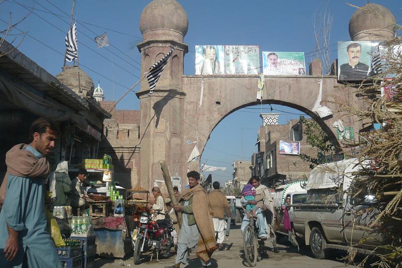

About Our Data
The data on this page is estimated using a number of publicly available tools and resources. It is provided without warranty, and could contain inaccuracies. Use at your own risk.