Map of Borusowa
Interactive Map
Recent Nearby Earthquakes
Magnitude 3.0 and greater
| Date▼ | Time↕ | Magnitude↕ | Distance↕ | Depth↕ | Location↕ | Link |
|---|---|---|---|---|---|---|
| 10/29/96 | 4:02 AM | 3 | 97.5 km | 5,000 m | Poland | usgs.gov |
| 8/21/96 | 11:09 AM | 3.2 | 78.9 km | 10,000 m | Poland | usgs.gov |
| 1/16/96 | 7:27 AM | 3.4 | 97.3 km | 10,000 m | Poland | usgs.gov |
| 9/11/95 | 4:02 AM | 3.5 | 95 km | 10,000 m | Poland-Slovakia border region | usgs.gov |
| 3/1/93 | 7:42 AM | 4 | 75.9 km | 10,000 m | Poland-Slovakia border region | usgs.gov |
| 6/29/92 | 12:29 AM | 4.2 | 98.7 km | 10,000 m | Poland-Slovakia border region | usgs.gov |
| 11/15/91 | 1:33 AM | 3 | 67.2 km | 10,000 m | Poland | usgs.gov |
| 7/12/89 | 7:03 AM | 3.6 | 93 km | 10,000 m | Poland | usgs.gov |
| 12/3/87 | 11:56 AM | 3.3 | 95.4 km | 10,000 m | Poland | usgs.gov |
| 11/14/87 | 2:36 PM | 3.7 | 99.8 km | 10,000 m | Poland | usgs.gov |
Source: U.S. Geological Survey (USGS)
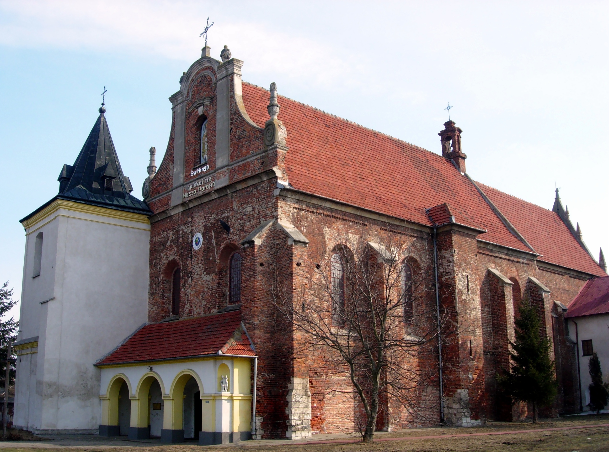
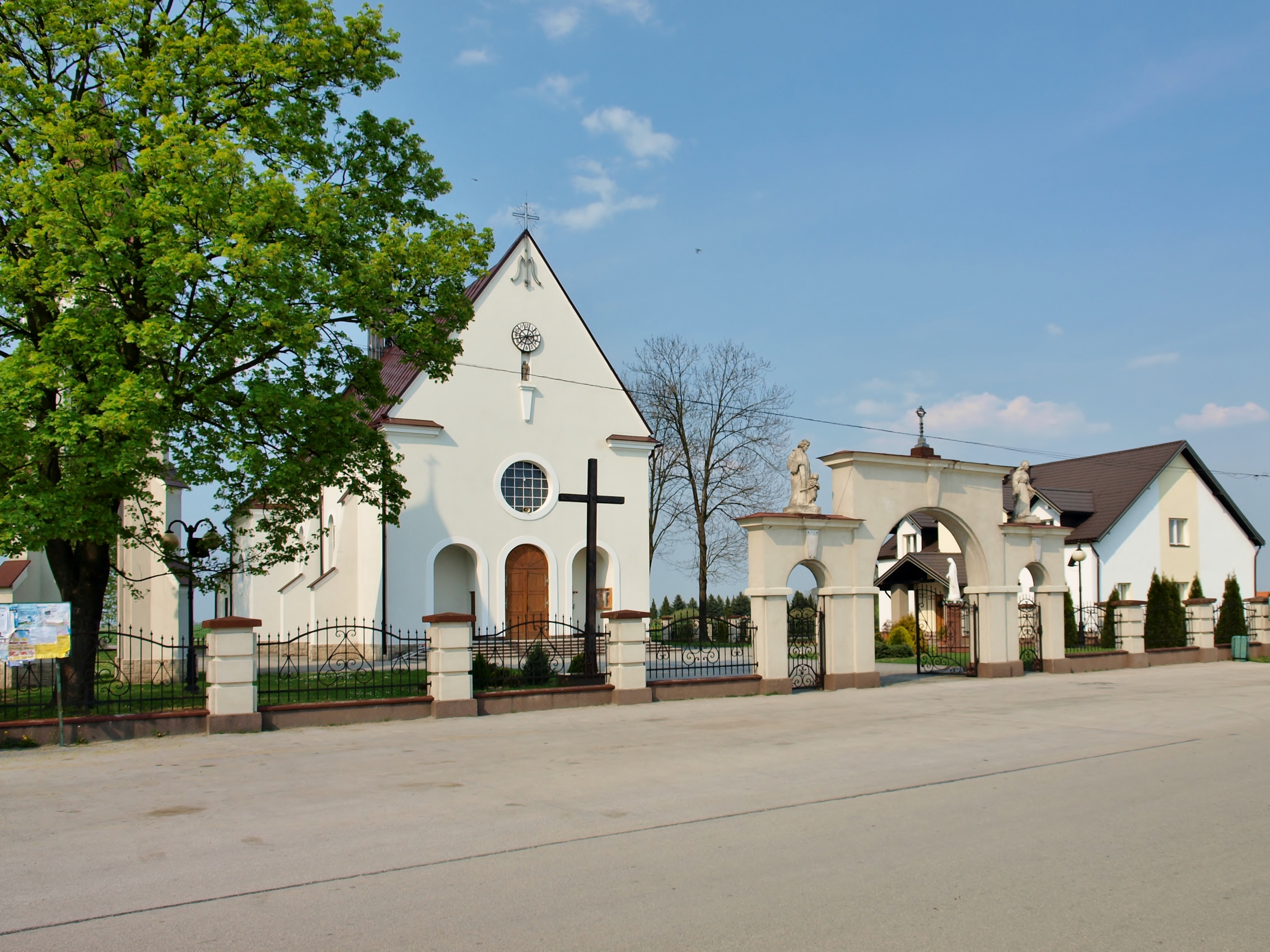
Borusowa
Borusowa [bɔruˈsɔva] is a village in the administrative district of Gmina Gręboszów, within Dąbrowa County, Lesser Poland Voivodeship, in southern Poland. It lies approximately 19 kilometres (12 mi) north-west of Dąbrowa Tarnowska and 67 km (42 mi) e..
Borusowa Wikipedia Page

About Our Data
The data on this page is estimated using a number of publicly available tools and resources. It is provided without warranty, and could contain inaccuracies. Use at your own risk.