Brzóstowa Facts
| Neighborhoods | Brzóstowa |
| Local Time | |
| Timezone | Central European Summer Time |
| Lat & Lng | 50.89058, 21.48273 |
Map of Brzóstowa
Interactive Map
Recent Nearby Earthquakes
Magnitude 3.0 and greater
| Date▼ | Time↕ | Magnitude↕ | Distance↕ | Depth↕ | Location↕ | Link |
|---|---|---|---|---|---|---|
| 8/21/96 | 11:09 AM | 3.2 | 26.6 km | 10,000 m | Poland | usgs.gov |
| 7/25/87 | 9:30 AM | 3 | 78.4 km | 10,000 m | Poland | usgs.gov |
| 1/30/87 | 6:03 PM | 3.3 | 85.8 km | 10,000 m | Poland | usgs.gov |
| 6/27/86 | 9:55 AM | 3 | 94.1 km | 10,000 m | Poland | usgs.gov |
Source: U.S. Geological Survey (USGS)
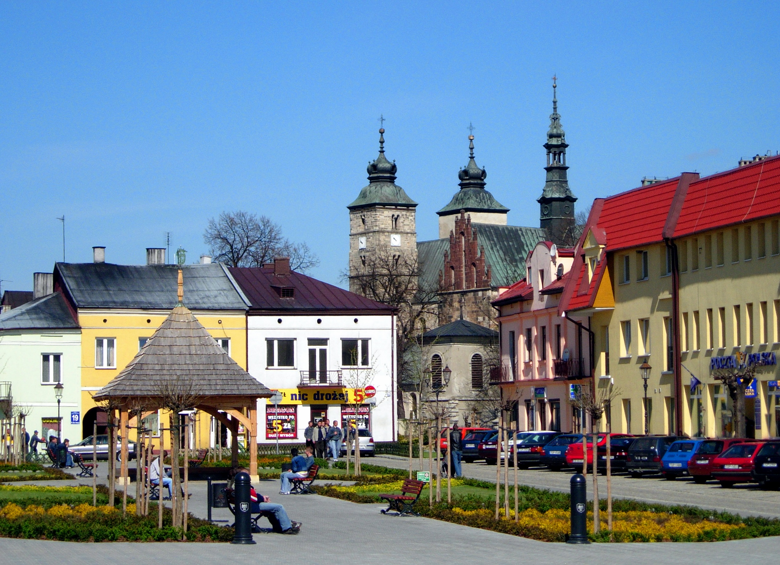
Brzóstowa
Brzóstowa [bʐusˈtɔva] is a village in the administrative district of Gmina Ćmielów, within Ostrowiec County, Świętokrzyskie Voivodeship, in south-central Poland. It lies approximately 3 kilometres (2 mi) west of Ćmielów, 8 km (5 mi) south-east of Ost..
Brzóstowa Wikipedia Page

About Our Data
The data on this page is estimated using a number of publicly available tools and resources. It is provided without warranty, and could contain inaccuracies. Use at your own risk.