Donaborów Facts
| Area Codes | 62 |
| Neighborhoods | Donaborów |
| Local Time | |
| Timezone | Central European Summer Time |
| Lat & Lng | 51.26847, 18.07526 |
Map of Donaborów
Interactive Map
Recent Nearby Earthquakes
Magnitude 3.0 and greater
| Date▼ | Time↕ | Magnitude↕ | Distance↕ | Depth↕ | Location↕ | Link |
|---|---|---|---|---|---|---|
| 11/30/14 | 4:28 PM | 4.5 | 69.4 km | 10,000 m | 8km SSW of Szczercow, Poland | usgs.gov |
| 5/30/05 | 12:40 PM | 3.7 | 77.8 km | 5,000 m | Poland | usgs.gov |
| 7/30/03 | 12:52 PM | 3.3 | 94.9 km | 5,000 m | Poland | usgs.gov |
| 11/15/02 | 9:32 PM | 3.7 | 80 km | 5,000 m | Poland | usgs.gov |
| 8/23/02 | 5:29 AM | 3.2 | 78 km | 5,000 m | Poland | usgs.gov |
| 6/16/02 | 3:34 AM | 3.9 | 79.1 km | 5,000 m | Poland | usgs.gov |
| 2/26/02 | 12:41 PM | 3.1 | 97.1 km | 5,000 m | Poland | usgs.gov |
| 6/19/99 | 11:01 PM | 3.7 | 98.7 km | 5,000 m | Poland | usgs.gov |
| 5/13/98 | 4:57 PM | 3 | 99.7 km | 10,000 m | Poland | usgs.gov |
| 12/31/97 | 11:20 PM | 3 | 98.4 km | 5,000 m | Poland | usgs.gov |
Source: U.S. Geological Survey (USGS)
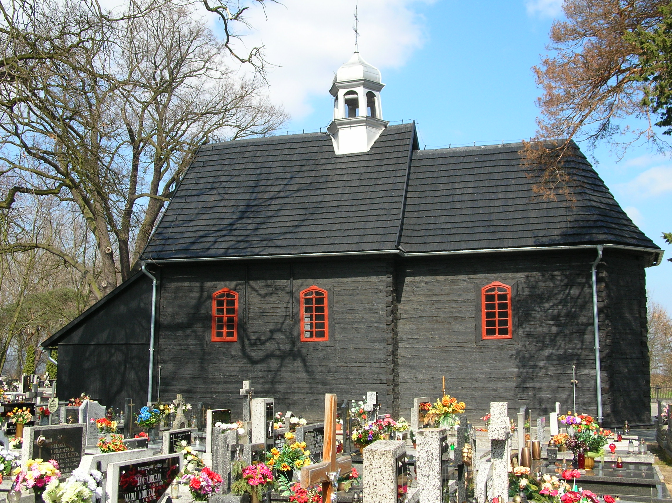
Donaborów
Donaborów [dɔnaˈbɔruf] is a village in the administrative district of Gmina Baranów, within Kępno County, Greater Poland Voivodeship, in west-central Poland. It lies approximately 6 kilometres (4 mi) east of Baranów, 8 km (5 mi) east of Kępno, and 15..
Donaborów Wikipedia Page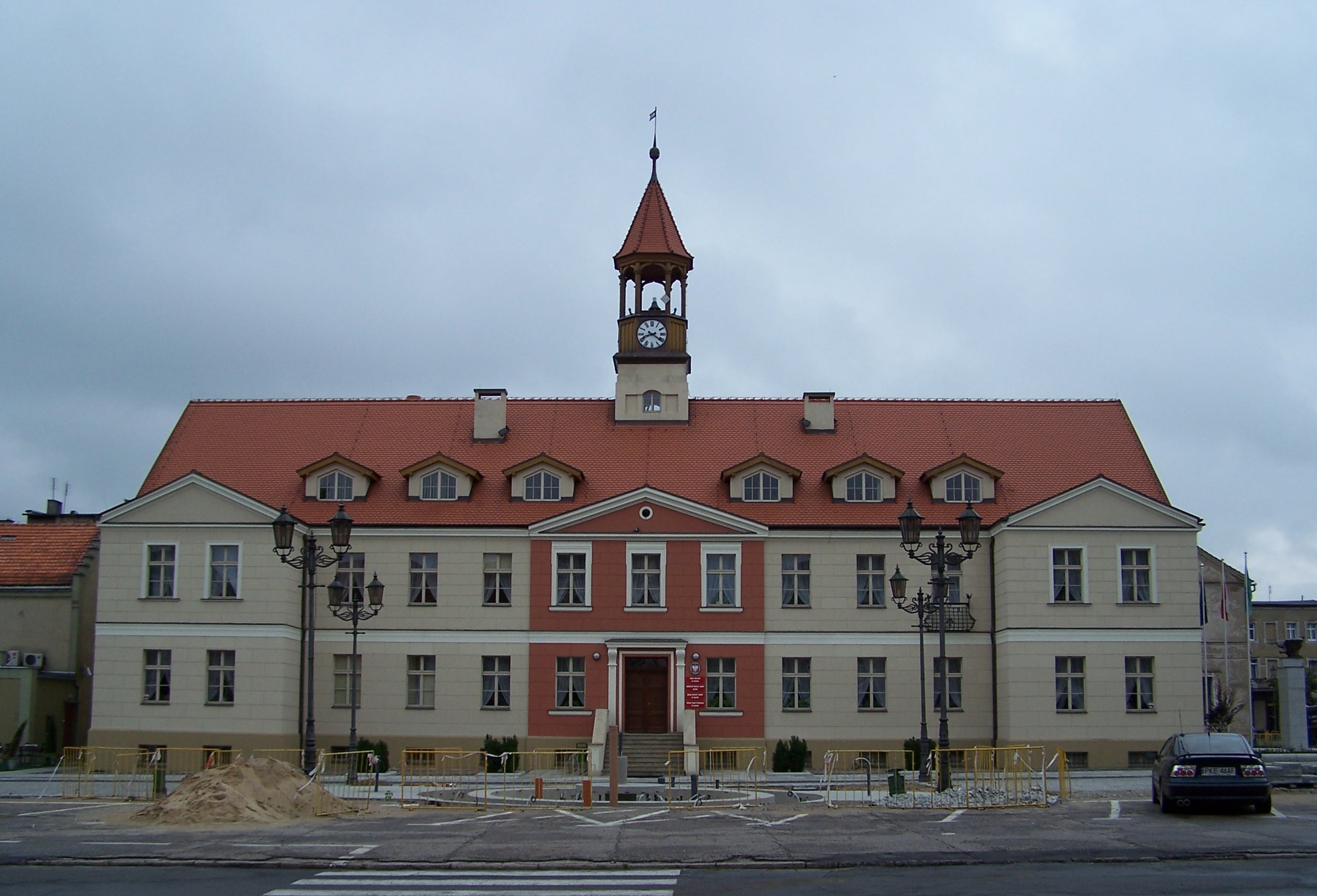

About Our Data
The data on this page is estimated using a number of publicly available tools and resources. It is provided without warranty, and could contain inaccuracies. Use at your own risk.