Industries
Business Distribution by Industry in Klaudyn
| Industry Description | Number of Establishments |
|---|---|
| Car repair | 17 |
| Wholesale of construction supplies | 11 |
| Corporate management | 10 |
| Grocery stores and supermarkets | 9 |
| Electronics stores | 9 |
| Lawyers legal | 9 |
| Wholesalers | 7 |
| Manufacture of wood and paper products | 7 |
| Shopping | 7 |
| Car wash and detail | 6 |
| Car parts | 5 |
| Shoe stores | 5 |
Klaudyn Facts
| Neighborhoods | Ursynów, Marymont-Potok, Jelonki Północne |
| Local Time | |
| Timezone | Central European Summer Time |
| Lat & Lng | 52.27782, 20.86613 |
Map of Klaudyn
Interactive Map
Area Codes
Percentage Area Codes used by businesses in Klaudyn
Recent Nearby Earthquakes
Magnitude 3.0 and greater
| Date▼ | Time↕ | Magnitude↕ | Distance↕ | Depth↕ | Location↕ | Link |
|---|---|---|---|---|---|---|
| 5/10/90 | 2:31 AM | 3.1 | 88.2 km | 10,000 m | Poland | usgs.gov |
| 11/24/88 | 8:26 PM | 3 | 42.3 km | 10,000 m | Poland | usgs.gov |
| 11/6/88 | 11:11 AM | 3.7 | 49.8 km | 10,000 m | Poland | usgs.gov |
| 2/22/88 | 10:42 PM | 3 | 61.5 km | 10,000 m | Poland | usgs.gov |
| 1/21/85 | 6:44 PM | 3.4 | 37.8 km | 10,000 m | Poland | usgs.gov |
| 1/7/85 | 2:22 AM | 3.1 | 61.2 km | 10,000 m | Poland | usgs.gov |
Source: U.S. Geological Survey (USGS)
Klaudyn
Klaudyn [ˈklau̯dɨn] is a village in the administrative district of Gmina Stare Babice, within Warsaw West County, Masovian Voivodeship, in east-central Poland. It lies approximately 4 kilometres (2 mi) north of Stare Babice, 8 km (5 mi) north-east of..
Klaudyn Wikipedia Page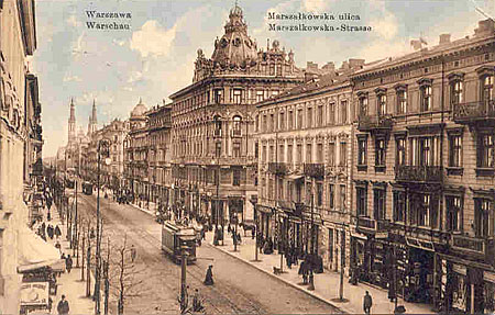


About Our Data
The data on this page is estimated using a number of publicly available tools and resources. It is provided without warranty, and could contain inaccuracies. Use at your own risk.