Map of Kostów
Interactive Map
Recent Nearby Earthquakes
Magnitude 3.0 and greater
| Date▼ | Time↕ | Magnitude↕ | Distance↕ | Depth↕ | Location↕ | Link |
|---|---|---|---|---|---|---|
| 4/23/18 | 8:55 AM | 3.9 | 90.5 km | 9,190 m | 3km N of Zbroslawice, Poland | usgs.gov |
| 11/30/14 | 4:28 PM | 4.5 | 65.3 km | 10,000 m | 8km SSW of Szczercow, Poland | usgs.gov |
| 9/9/04 | 6:30 PM | 3.3 | 94.8 km | 5,000 m | Poland | usgs.gov |
| 7/9/04 | 3:26 AM | 3 | 99.8 km | 5,000 m | Poland | usgs.gov |
| 1/22/04 | 5:59 AM | 3.3 | 96.7 km | 5,000 m | Poland | usgs.gov |
| 1/10/04 | 3:16 AM | 3.2 | 97.2 km | 5,000 m | Poland | usgs.gov |
| 10/5/03 | 11:54 AM | 3.2 | 94.5 km | 5,000 m | Poland | usgs.gov |
| 8/9/03 | 1:31 PM | 3.7 | 94.9 km | 5,000 m | Poland | usgs.gov |
| 7/30/03 | 12:52 PM | 3.3 | 82.7 km | 5,000 m | Poland | usgs.gov |
| 7/24/03 | 4:25 AM | 3.6 | 93.9 km | 5,000 m | Poland | usgs.gov |
Source: U.S. Geological Survey (USGS)
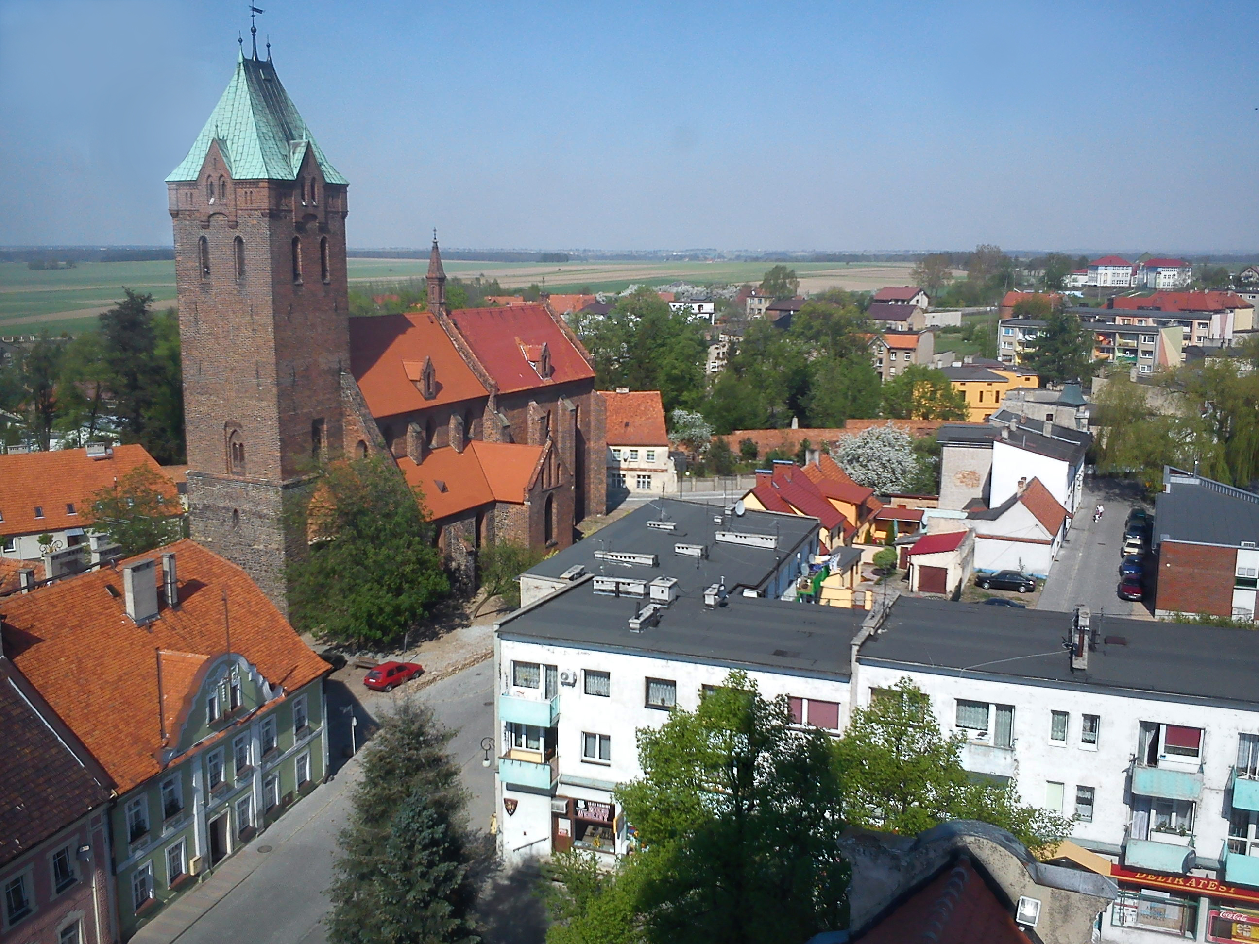
Kostów
Kostów [ˈkɔstuf] is a village in the administrative district of Gmina Byczyna, within Kluczbork County, Opole Voivodeship, in south-western Poland. It lies approximately 8 kilometres (5 mi) north-west of Byczyna, 21 km (13 mi) north of Kluczbork, and..
Kostów Wikipedia Page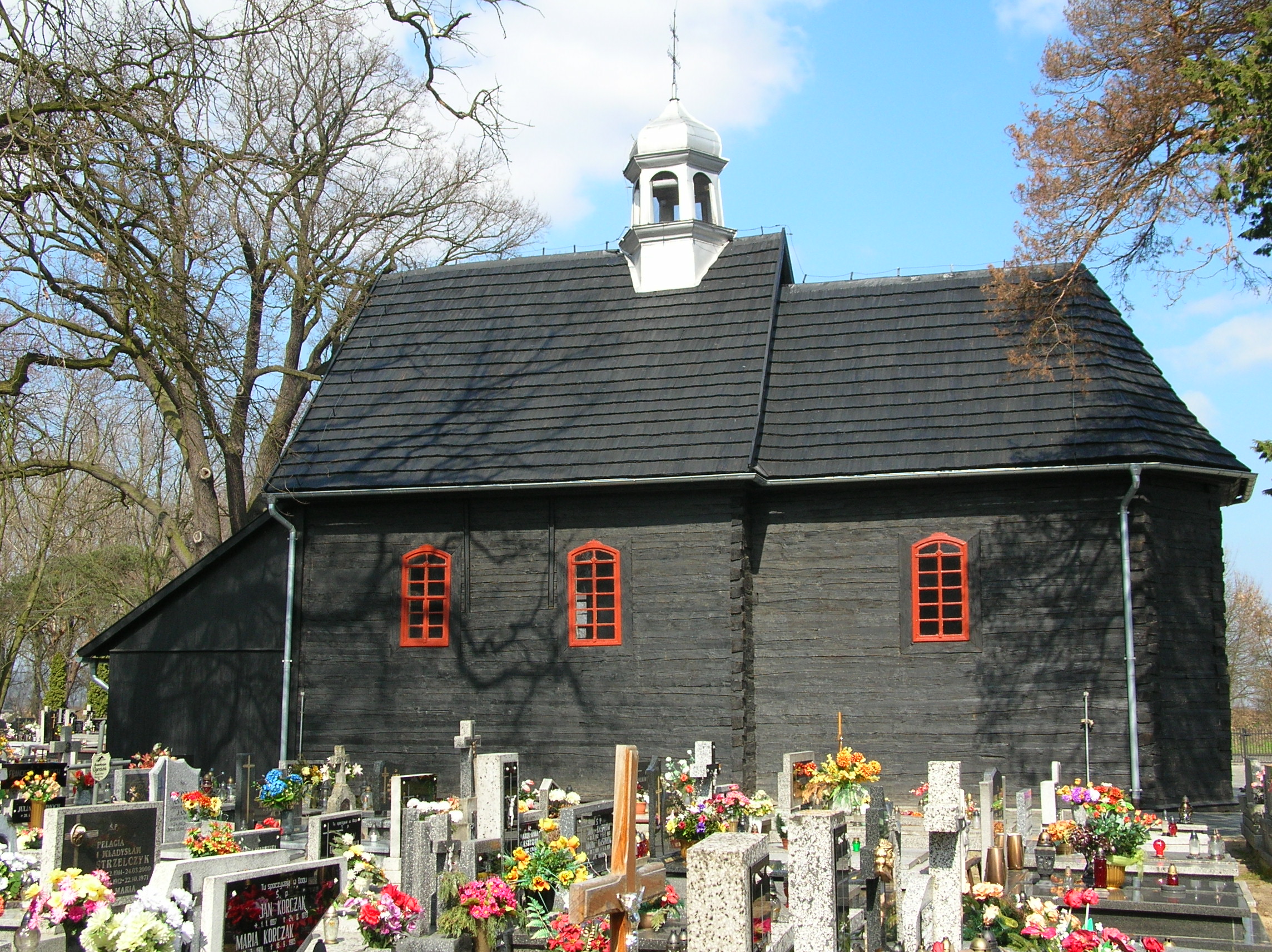

About Our Data
The data on this page is estimated using a number of publicly available tools and resources. It is provided without warranty, and could contain inaccuracies. Use at your own risk.