Categories in Modlniczka
Car Repair and MaintenanceMechanicTire ShopUsed car dealersFurniture ManufacturerWholesalersBoot StoreClothing storesFashion Accessories StoreHandbags ShopLingerie StoreMen's clothingShoe storesSportswear StoreWomen's clothingShipping and Mailing ServiceShipping ServiceChinaware StoreHome Goods StoreHousing DevelopmentGrocery stores and supermarketsRestaurantsFurniture storesDentistsBeauty salonsBusiness Support & OutsourcingCosmetics StoreInternet ShopPerfume StoreToiletries StoreSporting Goods StoreCourier ServiceElectric Vehicle Charging StationHotels and motelsPackage lockerTransportation logisticsWarehouseUnreachable
Industries
Business Distribution by Industry in Modlniczka
| Industry Description | Number of Establishments |
|---|---|
| Clothing stores | 61 |
| Corporate management | 29 |
| Car repair | 20 |
| Shopping | 19 |
| Shoe stores | 14 |
| Grocery stores and supermarkets | 12 |
| Restaurants | 11 |
| Other accommodation | 10 |
| Women's clothing | 10 |
| Wholesale of construction supplies | 9 |
| Wholesalers | 9 |
| Real estate | 9 |
| Electronics stores | 8 |
| Men's clothing | 8 |
| Furniture stores | 8 |
Modlniczka Facts
| Neighborhoods | Modlniczka, Stare Miasto |
| Local Time | |
| Timezone | Central European Summer Time |
| Lat & Lng | 50.11739, 19.85530 |
Map of Modlniczka
Interactive Map
Area Codes
Percentage Area Codes used by businesses in Modlniczka
Postal Codes
Percentage of businesses by Postal Codes in Modlniczka
Price Distribution
Business distribution by price for Modlniczka
Recent Nearby Earthquakes
Magnitude 3.0 and greater
| Date▼ | Time↕ | Magnitude↕ | Distance↕ | Depth↕ | Location↕ | Link |
|---|---|---|---|---|---|---|
| 11/17/15 | 11:28 PM | 4.1 | 43.6 km | 6,060 m | 3km N of Chelmek, Poland | usgs.gov |
| 11/19/08 | 12:45 AM | 3.2 | 59.5 km | 1,000 m | Poland | usgs.gov |
| 2/23/08 | 6:32 PM | 3.1 | 62.8 km | 5,000 m | Poland | usgs.gov |
| 2/14/08 | 3:49 PM | 3.1 | 52.9 km | 5,000 m | Poland | usgs.gov |
| 1/16/08 | 10:21 AM | 3 | 47.3 km | 5,000 m | Poland | usgs.gov |
| 5/4/07 | 3:42 PM | 3 | 53.9 km | 5,000 m | Poland | usgs.gov |
| 12/16/06 | 2:30 AM | 3.2 | 56.6 km | 5,000 m | Poland | usgs.gov |
| 6/25/06 | 1:12 AM | 3.1 | 98.3 km | 5,000 m | Slovakia | usgs.gov |
| 12/19/05 | 2:32 AM | 3.2 | 62.5 km | 1,000 m | Poland | usgs.gov |
| 6/28/05 | 12:35 PM | 3.3 | 49.3 km | 5,000 m | Poland | usgs.gov |
Source: U.S. Geological Survey (USGS)
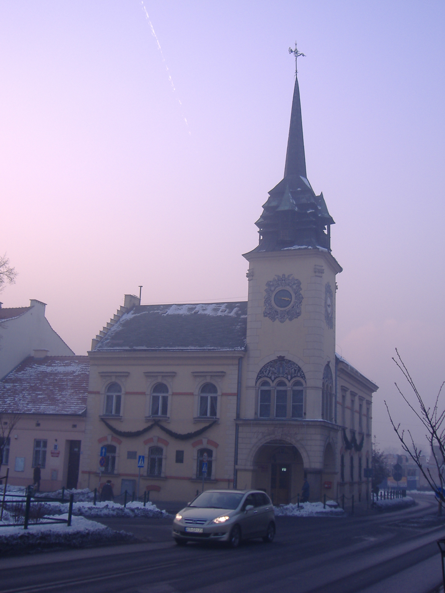
Modlniczka
Modlniczka [mɔdlˈnit͡ʂka] is a village in the administrative district of Gmina Wielka Wieś, within Kraków County, Lesser Poland Voivodeship, in southern Poland. It lies approximately 9 km (6 mi) north-west of the regional capital Kraków. village has..
Modlniczka Wikipedia Page

About Our Data
The data on this page is estimated using a number of publicly available tools and resources. It is provided without warranty, and could contain inaccuracies. Use at your own risk.