Parchanie Facts
| Area Codes | 52 |
| Neighborhoods | Parchanie |
| Local Time | |
| Timezone | Central European Summer Time |
| Lat & Lng | 52.80486, 18.39778 |
Map of Parchanie
Interactive Map
Recent Nearby Earthquakes
Magnitude 3.0 and greater
| Date▼ | Time↕ | Magnitude↕ | Distance↕ | Depth↕ | Location↕ | Link |
|---|---|---|---|---|---|---|
| 8/11/97 | 12:39 AM | 3 | 63.1 km | 5,000 m | Poland | usgs.gov |
| 4/26/88 | 10:05 AM | 3 | 75.8 km | 10,000 m | Poland | usgs.gov |
| 12/31/85 | 5:46 AM | 3.7 | 90.2 km | 10,000 m | Poland | usgs.gov |
| 8/19/81 | 12:41 PM | 3.4 | 96.1 km | 10,000 m | Poland | usgs.gov |
Source: U.S. Geological Survey (USGS)
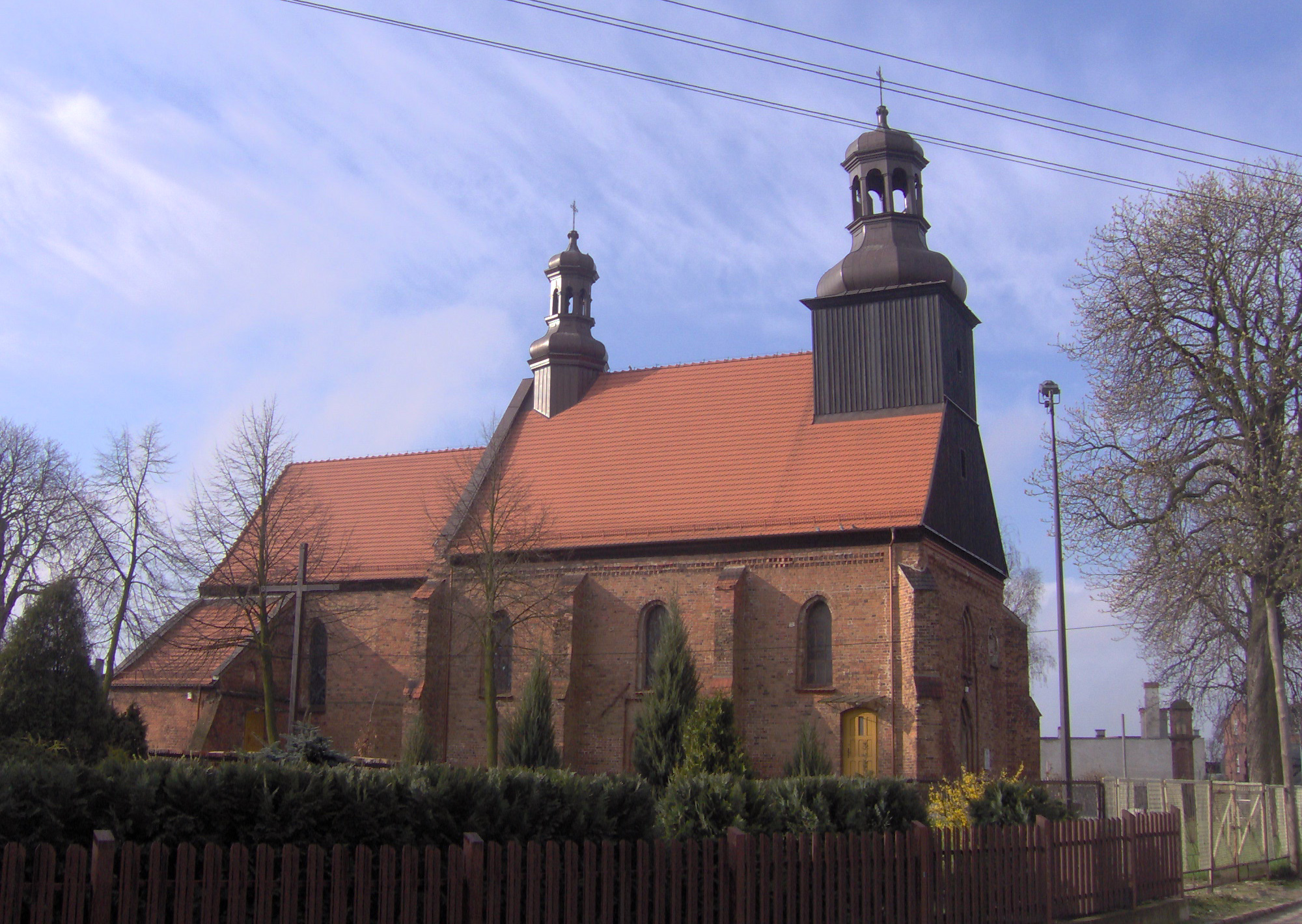
Parchanie
Parchanie [parˈxaɲe] is a village in the administrative district of Gmina Dąbrowa Biskupia, within Inowrocław County, Kuyavian-Pomeranian Voivodeship, in north-central Poland. It lies approximately 11 kilometres (7 mi) west of Dąbrowa Biskupia, 10 km..
Parchanie Wikipedia Page
About Our Data
The data on this page is estimated using a number of publicly available tools and resources. It is provided without warranty, and could contain inaccuracies. Use at your own risk.