Categories in Rodaki
Rodaki Facts
| Local Time | |
| Timezone | Central European Summer Time |
| Lat & Lng | 50.39375, 19.53108 |
| Postal Codes | 32-312 |
Map of Rodaki
Interactive Map
Area Codes
Percentage Area Codes used by businesses in Rodaki
Recent Nearby Earthquakes
Magnitude 3.0 and greater
| Date▼ | Time↕ | Magnitude↕ | Distance↕ | Depth↕ | Location↕ | Link |
|---|---|---|---|---|---|---|
| 11/17/15 | 11:28 PM | 4.1 | 35.1 km | 6,060 m | 3km N of Chelmek, Poland | usgs.gov |
| 11/19/08 | 12:45 AM | 3.2 | 43.3 km | 1,000 m | Poland | usgs.gov |
| 2/23/08 | 6:32 PM | 3.1 | 35.7 km | 5,000 m | Poland | usgs.gov |
| 2/14/08 | 3:49 PM | 3.1 | 28.7 km | 5,000 m | Poland | usgs.gov |
| 1/16/08 | 10:21 AM | 3 | 37.6 km | 5,000 m | Poland | usgs.gov |
| 5/4/07 | 3:42 PM | 3 | 38.7 km | 5,000 m | Poland | usgs.gov |
| 12/16/06 | 2:30 AM | 3.2 | 41.1 km | 5,000 m | Poland | usgs.gov |
| 6/28/05 | 12:35 PM | 3.3 | 43.8 km | 5,000 m | Poland | usgs.gov |
| 11/4/04 | 3:46 PM | 3 | 31.2 km | 5,000 m | Poland | usgs.gov |
| 8/15/04 | 9:59 PM | 3.1 | 32 km | 1,200 m | Poland | usgs.gov |
Source: U.S. Geological Survey (USGS)
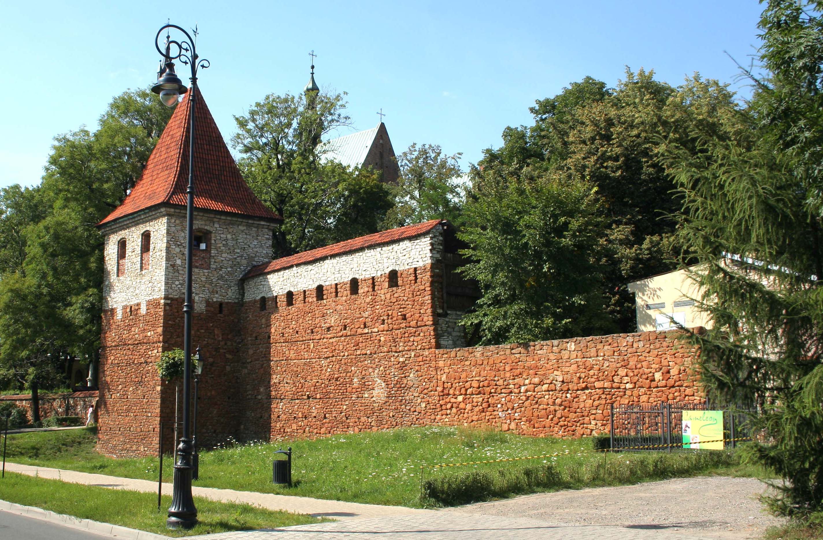
Rodaki
Rodaki [rɔˈdaki] is a village in the administrative district of Gmina Klucze, within Olkusz County, Lesser Poland Voivodeship, in southern Poland. It lies approximately 12 kilometres (7 mi) north of Olkusz and 45 km (28 mi) north-west of the regional..
Rodaki Wikipedia Page

About Our Data
The data on this page is estimated using a number of publicly available tools and resources. It is provided without warranty, and could contain inaccuracies. Use at your own risk.