Yalo Facts
| Local Time | |
| Timezone | Eastern European Summer Time |
| Lat & Lng | 31.84087, 35.02262 |
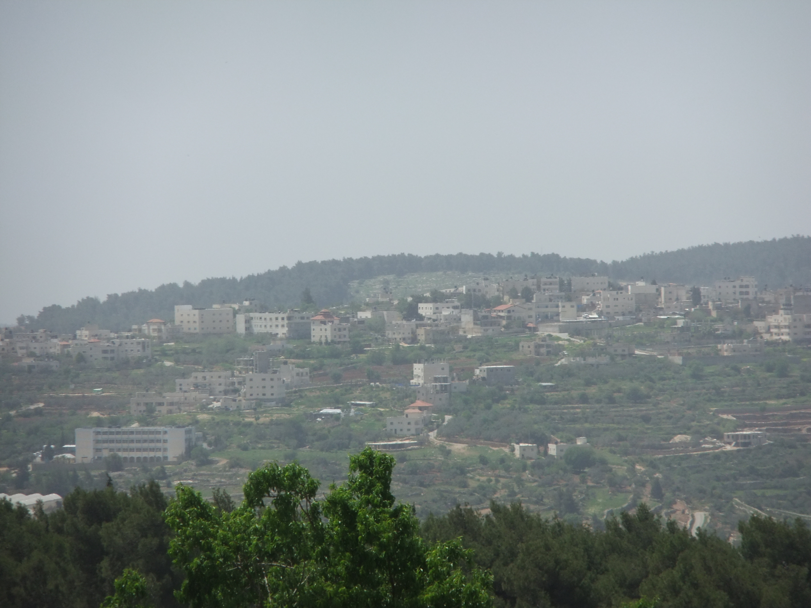
Map of Yalo
Interactive Map
Recent Nearby Earthquakes
Magnitude 3.0 and greater
| Date▼ | Time↕ | Magnitude↕ | Distance↕ | Depth↕ | Location↕ | Link |
|---|---|---|---|---|---|---|
| 7/30/15 | 2:39 AM | 4.2 | 65.5 km | 13,000 m | 24km NNE of `En Boqeq, Israel | usgs.gov |
| 8/7/11 | 8:52 AM | 4.1 | 95.8 km | 31,000 m | Dead Sea region | usgs.gov |
| 12/2/07 | 7:38 AM | 4 | 52.9 km | 10,000 m | Dead Sea region | usgs.gov |
| 11/23/07 | 10:19 PM | 4.4 | 8.1 km | 11,000 m | Dead Sea region | usgs.gov |
| 11/20/07 | 11:21 PM | 3.2 | 56.6 km | 5,000 m | Dead Sea region | usgs.gov |
| 11/20/07 | 9:18 AM | 4.6 | 53.6 km | 10,000 m | Dead Sea region | usgs.gov |
| 2/9/07 | 10:14 PM | 4.5 | 91.1 km | 15,000 m | Dead Sea region | usgs.gov |
| 11/18/06 | 2:57 AM | 3.1 | 51.1 km | 10,000 m | Dead Sea region | usgs.gov |
| 9/17/06 | 8:22 AM | 4 | 46.7 km | 1,000 m | Dead Sea region | usgs.gov |
| 9/9/06 | 4:58 AM | 4.5 | 48.5 km | 1,000 m | Dead Sea region | usgs.gov |
Source: U.S. Geological Survey (USGS)
Yalo
Yalo (Arabic: يالو, also transliterated Yalu) was a Palestinian Arab village located 13 kilometres southeast of Ramla. Identified by Edward Robinson as the ancient Canaanite and Israelite city of Aijalon, after the 1948 Arab-Israeli war, Jordan form..
Yalo Wikipedia Page


About Our Data
The data on this page is estimated using a number of publicly available tools and resources. It is provided without warranty, and could contain inaccuracies. Use at your own risk.