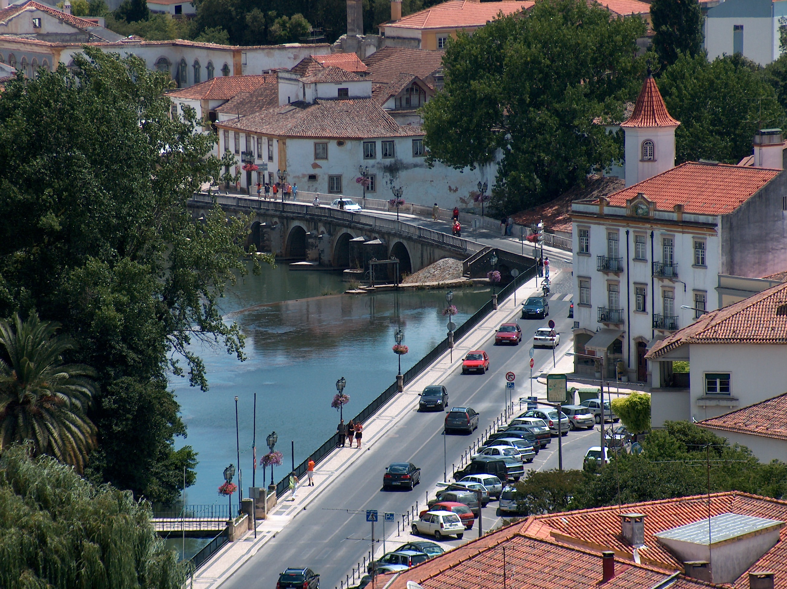
Castelo do Bode Facts
| Local Time | |
| Timezone | Western European Summer Time |
| Lat & Lng | 39.54751, -8.32785 |
| Postal Codes | 2300 |
Map of Castelo do Bode
Interactive Map
Recent Nearby Earthquakes
Magnitude 3.0 and greater
| Date▼ | Time↕ | Magnitude↕ | Distance↕ | Depth↕ | Location↕ | Link |
|---|---|---|---|---|---|---|
| 1/15/18 | 11:51 AM | 4.1 | 89.8 km | 10,930 m | 25km N of Evora, Portugal | usgs.gov |
| 8/17/17 | 6:44 AM | 4.2 | 86.7 km | 10,000 m | 5km N of Arruda dos Vinhos, Portugal | usgs.gov |
| 2/1/17 | 11:22 PM | 3.6 | 46.4 km | 10,860 m | 4km WSW of Porto de Mos, Portugal | usgs.gov |
| 3/27/10 | 1:37 PM | 4.1 | 89.2 km | 15,000 m | Portugal | usgs.gov |
| 7/26/08 | 4:09 PM | 3.3 | 88.8 km | 0 m | Portugal | usgs.gov |
| 12/10/07 | 10:47 PM | 3.4 | 68.1 km | 2,100 m | Portugal | usgs.gov |
| 8/27/07 | 8:18 PM | 3 | 60.5 km | 2,600 m | Portugal | usgs.gov |
| 4/15/06 | 7:52 PM | 3.4 | 77.3 km | 9,700 m | Portugal | usgs.gov |
| 12/29/05 | 5:01 AM | 4 | 83.7 km | 8,000 m | Portugal | usgs.gov |
| 12/29/05 | 4:25 AM | 4.4 | 83.7 km | 4,000 m | Portugal | usgs.gov |
Source: U.S. Geological Survey (USGS)
Castelo de Bode Dam
Castelo de Bode Dam is a concrete arch-gravity dam on the Zêzere River, a tributary of the Tagus River, located southwest of Tomar and north of Constância, in Santarém District, Portugal. It is one of the tallest structures in Portugal. The dam was c..
Castelo de Bode Dam Wikipedia Page


About Our Data
The data on this page is estimated using a number of publicly available tools and resources. It is provided without warranty, and could contain inaccuracies. Use at your own risk.