Categories in Frielas
Industries
Business Distribution by Industry in Frielas
| Industry Description | Number of Establishments | Average Age of Business |
|---|---|---|
| Corporate management | 32 | 28 years |
| Car repair | 22 | — |
| Restaurants | 17 | — |
| Shopping | 17 | — |
| Wholesale of construction supplies | 11 | — |
| Electronics stores | 7 | — |
| Gas station | 7 | — |
| Wholesale of machinery | 6 | — |
| Grocery stores and supermarkets | 6 | — |
| Car parts | 6 | — |
| Department stores | 6 | — |
| Furniture stores | 5 | — |
| All food and beverage | 5 | — |
| Hardware store | 5 | — |
Frielas Facts
| Area | 1.0 km² |
| Population | 1,253 |
| Male Population | 618 (49.4%) |
| Female Population | 635 (50.6%) |
| Population change (1975 to 2020) | +28.9% |
| Population change (2000 to 2020) | +7.6% |
| Median Age | 39.1 years (Male: 38.8, Female: 39.5) |
| Neighborhoods | Ajuda, Marvila, Sete Céus, Quinta Grande, Ponte de Frielas |
| Local Time | |
| Timezone | Western European Summer Time |
| Lat & Lng | 38.82635, -9.14359 |
| Postal Codes | 2660 |
Map of Frielas
Interactive Map
Frielas Population
Years 1975 to 2020
| Data | 1975 | 1990 | 2000 | 2015 | 2020 |
|---|---|---|---|---|---|
| Population | 972 | 1,083 | 1,164 | 1,210 | 1,253 |
| Population Density | 972 / km² | 1,083 / km² | 1,164 / km² | 1,210 / km² | 1,253 / km² |
Frielas Population change from 2000 to 2015
Increase of 4% from year 2000 to 2015
| Location | Change since 1975 | Change since 1990 | Change since 2000 |
|---|---|---|---|
| Frielas | +24.5% | +11.7% | +4% |
| Lisbon District | +26.2% | +12.4% | +5.2% |
| Portugal | +12.6% | +4.6% | +0.7% |
Frielas Median Age
Median Age: 39.1 years
| Location | Median Age | Median Age (Female) | Median Age (Male) |
|---|---|---|---|
| Frielas | 39.1 yrs | 39.5 yrs | 38.8 yrs |
| Lisbon District | 41 yrs | 42.7 yrs | 39.3 yrs |
| Portugal | 42 yrs | 43.5 yrs | 40.4 yrs |
Frielas Population Density
Population Density: 1,253 / km²
| Location | Population | Area | Density |
|---|---|---|---|
| Frielas | 1,253 | 1 km² | 1,253 / km² |
| Lisbon District | 2.2 million | 2,799.7 km² | 796 / km² |
| Portugal | 10.3 million | 92,264.9 km² | 112 / km² |
Frielas Historical and Projected Population
Estimated Population from 1600 to 2100
- JRC (European Commission's Joint Research Centre) work on the GHS built-up grid
- CIESIN (Center for International Earth Science Information Network)
- [Link] Klein Goldewijk, K., Beusen, A., Doelman, J., and Stehfest, E.: Anthropogenic land use estimates for the Holocene – HYDE 3.2, Earth Syst. Sci. Data, 9, 927–953, https://doi.org/10.5194/essd-9-927-2017, 2017.
Area Codes
Percentage Area Codes used by businesses in Frielas
Price Distribution
Business distribution by price for Frielas
Human Development Index (HDI)
Statistic composite index of life expectancy, education, and per capita income.
Frielas CO2 Emissions
Carbon Dioxide (CO2) Emissions Per Capita in Tonnes Per Year
| Location | CO2 Emissions | CO2 Emissions Per Capita | CO2 Emissions Intensity |
|---|---|---|---|
| Frielas | 9,946 tn | 7.94 tn | 9,945.8 tons/km² |
| Lisbon District | 15,283,291 tn | 6.86 tn | 5,458.9 tons/km² |
| Portugal | 63,833,570 tn | 6.2 tn | 691.9 tons/km² |
| 2013 CO2 emissions (tonnes/year) | 9,946 tn |
| 2013 CO2 emissions (tonnes/year) per capita | 7.94 tn |
| 2013 CO2 emissions intensity (tonnes/km²/year) | 9,945.8 tons/km² |
Natural Hazards Risk
Relative risk out of 10
| Hazard | Risk Level |
|---|---|
| Drought | High (8) |
| Earthquake | Medium (4) |
* Risk, particularly concerning flood or landslide, may not be for the entire area.
- Dilley, M., R.S. Chen, U. Deichmann, A.L. Lerner-Lam, M. Arnold, J. Agwe, P. Buys, O. Kjekstad, B. Lyon, and G. Yetman. 2005. Natural Disaster Hotspots: A Global Risk Analysis. Washington, D.C.: World Bank. https://doi.org/10.1596/0-8213-5930-4.
- Center for Hazards and Risk Research - CHRR - Columbia University, Center for International Earth Science Information Network - CIESIN - Columbia University, and International Research Institute for Climate and Society - IRI - Columbia University. 2005. Global Drought Hazard Frequency and Distribution. Palisades, NY: NASA Socioeconomic Data and Applications Center (SEDAC). https://doi.org/10.7927/H4VX0DFT.
- Center for Hazards and Risk Research - CHRR - Columbia University, Center for International Earth Science Information Network - CIESIN - Columbia University. 2005. Global Earthquake Hazard Distribution - Peak Ground Acceleration. Palisades, NY: NASA Socioeconomic Data and Applications Center (SEDAC). https://doi.org/10.7927/H4BZ63ZS.
Recent Nearby Earthquakes
Magnitude 3.0 and greater
| Date▼ | Time↕ | Magnitude↕ | Distance↕ | Depth↕ | Location↕ | Link |
|---|---|---|---|---|---|---|
| 8/17/17 | 6:44 AM | 4.2 | 23.5 km | 10,000 m | 5km N of Arruda dos Vinhos, Portugal | usgs.gov |
| 2/1/17 | 11:22 PM | 3.6 | 88.4 km | 10,860 m | 4km WSW of Porto de Mos, Portugal | usgs.gov |
| 7/18/15 | 11:26 PM | 3.2 | 24.3 km | 18,000 m | 2km ESE of Colares, Portugal | usgs.gov |
| 8/29/08 | 6:26 PM | 3 | 96.9 km | 10,600 m | Portugal | usgs.gov |
| 12/10/07 | 10:47 PM | 3.4 | 75.6 km | 2,100 m | Portugal | usgs.gov |
| 8/27/07 | 8:18 PM | 3 | 60.5 km | 2,600 m | Portugal | usgs.gov |
| 1/6/07 | 7:09 AM | 3.6 | 63.3 km | 16,000 m | Portugal | usgs.gov |
| 4/15/06 | 7:52 PM | 3.4 | 52.2 km | 9,700 m | Portugal | usgs.gov |
| 12/29/05 | 5:01 AM | 4 | 82 km | 8,000 m | Portugal | usgs.gov |
| 12/29/05 | 4:25 AM | 4.4 | 82 km | 4,000 m | Portugal | usgs.gov |
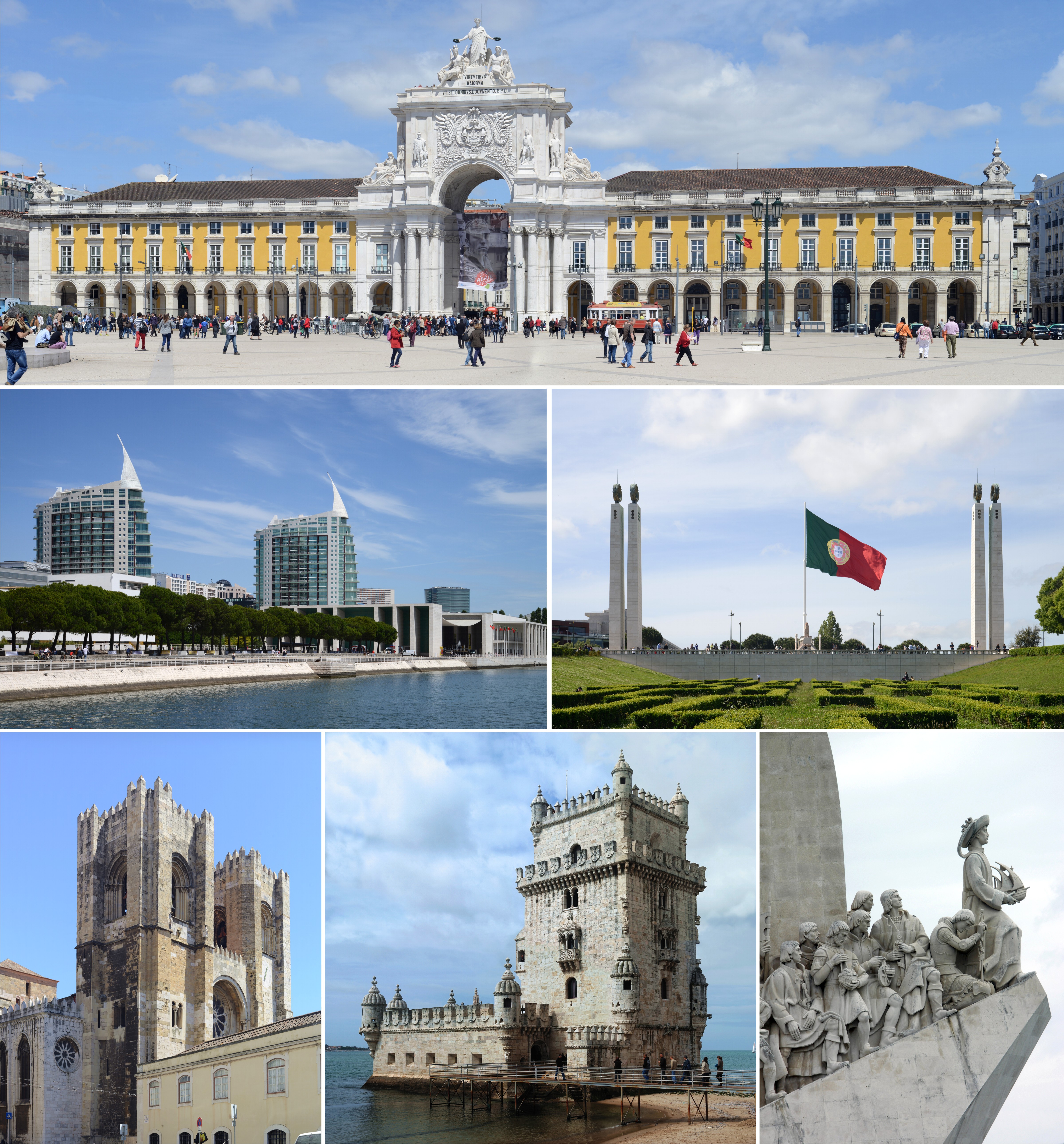
Frielas
(Portuguese pronunciation: [fɾiˈɛlɐʃ]) is a former civil parish in the municipality of Loures, Lisbon District, Portugal. In 2013, the parish merged into the new parish Santo António dos Cavaleiros e Frielas. Frielas has an area of 5.63 km², 2676 i..
Frielas Wikipedia Page


About Our Data
The data on this page is estimated using a number of publicly available tools and resources. It is provided without warranty, and could contain inaccuracies. Use at your own risk.