Capidava Facts
| Local Time | |
| Timezone | Eastern European Summer Time |
| Lat & Lng | 44.49739, 28.09316 |
| Postal Codes | 907281 |
Map of Capidava
Interactive Map
Recent Nearby Earthquakes
Magnitude 3.0 and greater
| Date▼ | Time↕ | Magnitude↕ | Distance↕ | Depth↕ | Location↕ | Link |
|---|---|---|---|---|---|---|
| 3/25/06 | 9:05 AM | 3 | 91.5 km | 5,000 m | Romania | usgs.gov |
| 2/6/06 | 10:47 AM | 3.6 | 25.9 km | 30,000 m | Romania | usgs.gov |
| 10/27/05 | 4:37 AM | 3.4 | 89.6 km | 11,300 m | Romania | usgs.gov |
| 8/25/05 | 5:53 PM | 4 | 91.5 km | 10,000 m | Romania | usgs.gov |
| 8/24/05 | 5:20 PM | 3 | 90.7 km | 7,100 m | Romania | usgs.gov |
| 4/23/05 | 5:18 AM | 3.3 | 80.8 km | 400 m | Ukraine-Romania-Moldova border region | usgs.gov |
| 2/12/05 | 12:01 AM | 3.6 | 97.3 km | 0 m | Romania | usgs.gov |
| 1/18/05 | 5:15 PM | 3.8 | 94.4 km | 100 m | Ukraine-Romania-Moldova border region | usgs.gov |
| 11/24/04 | 6:36 PM | 3.8 | 91.7 km | 3,500 m | Ukraine-Romania-Moldova border region | usgs.gov |
| 11/16/04 | 4:34 PM | 3.7 | 95.8 km | 1,000 m | Ukraine-Romania-Moldova border region | usgs.gov |
Source: U.S. Geological Survey (USGS)
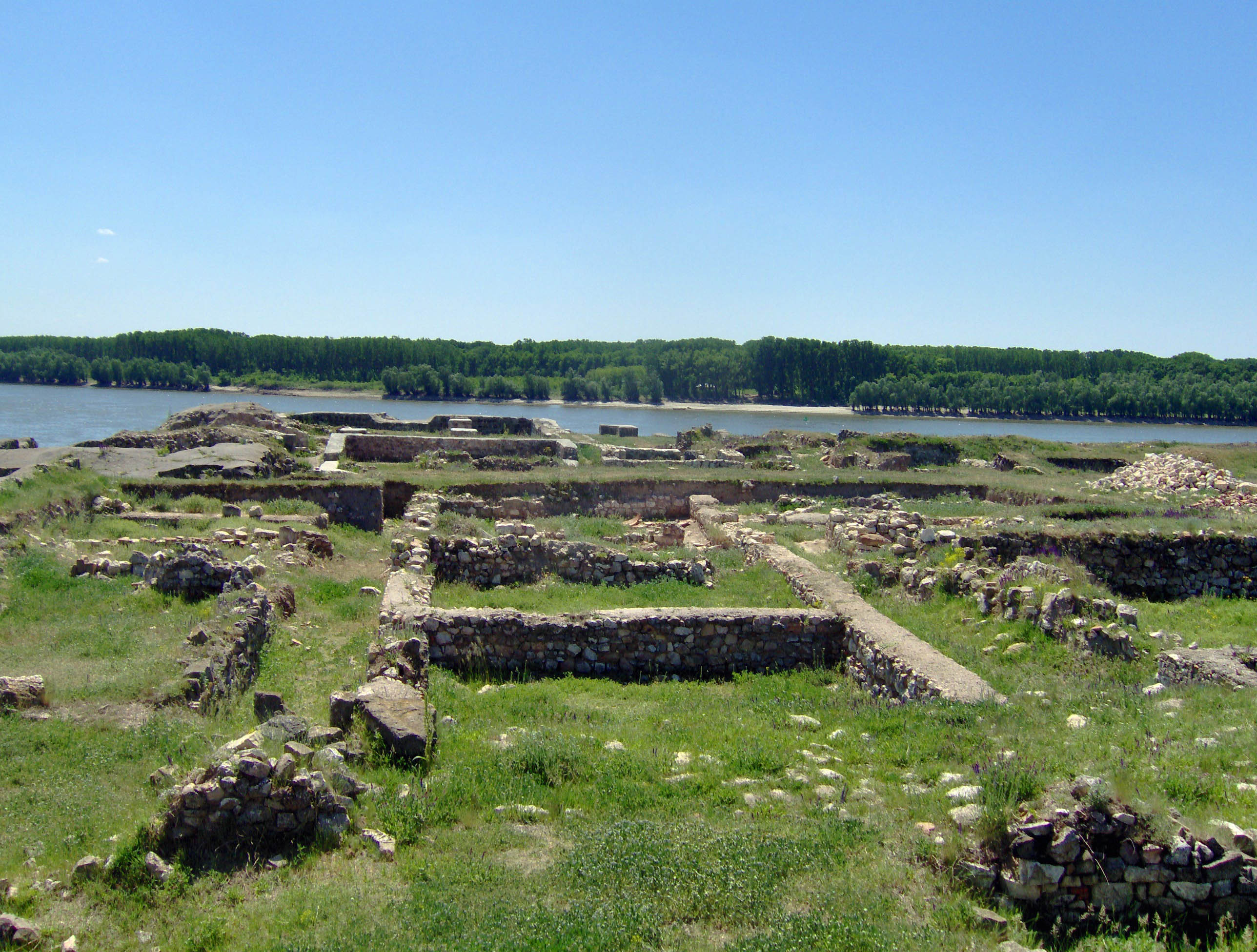
Capidava
(Kapidaua, Cappidava, Capidapa, Calidava, Calidaua) was an important Geto-Dacian center on the right bank of the Danube. After the Roman conquest, it became a civil and military center, as part of the province of Moesia Inferior (later Scythia Mino..
Capidava Wikipedia Page


About Our Data
The data on this page is estimated using a number of publicly available tools and resources. It is provided without warranty, and could contain inaccuracies. Use at your own risk.