Vajuga Facts
| Local Time | |
| Timezone | Central European Summer Time |
| Lat & Lng | 44.55848, 22.62604 |
Map of Vajuga
Interactive Map
Recent Nearby Earthquakes
Magnitude 3.0 and greater
| Date▼ | Time↕ | Magnitude↕ | Distance↕ | Depth↕ | Location↕ | Link |
|---|---|---|---|---|---|---|
| 6/9/16 | 2:05 AM | 4.2 | 80.4 km | 2,000 m | 6km S of Turija, Serbia | usgs.gov |
| 10/31/14 | 11:00 PM | 4.1 | 72.4 km | 4,100 m | 1km NNE of Teregova, Romania | usgs.gov |
| 1/1/12 | 11:57 PM | 4.5 | 89.3 km | 6,000 m | Romania | usgs.gov |
| 7/10/08 | 4:13 PM | 3.4 | 77.7 km | 11,300 m | Romania | usgs.gov |
| 6/27/08 | 11:24 AM | 3.3 | 66 km | 20,700 m | Romania | usgs.gov |
| 6/22/08 | 1:35 PM | 3.4 | 82.4 km | 5,000 m | Serbia | usgs.gov |
| 10/10/07 | 6:59 AM | 3 | 69.1 km | 6,500 m | Romania | usgs.gov |
| 7/13/07 | 11:17 AM | 3 | 78 km | 5,100 m | Romania | usgs.gov |
| 8/9/06 | 7:19 AM | 3.1 | 90.9 km | 17,200 m | Romania | usgs.gov |
| 7/2/06 | 9:07 PM | 3 | 71.4 km | 15,000 m | Serbia | usgs.gov |
Source: U.S. Geological Survey (USGS)
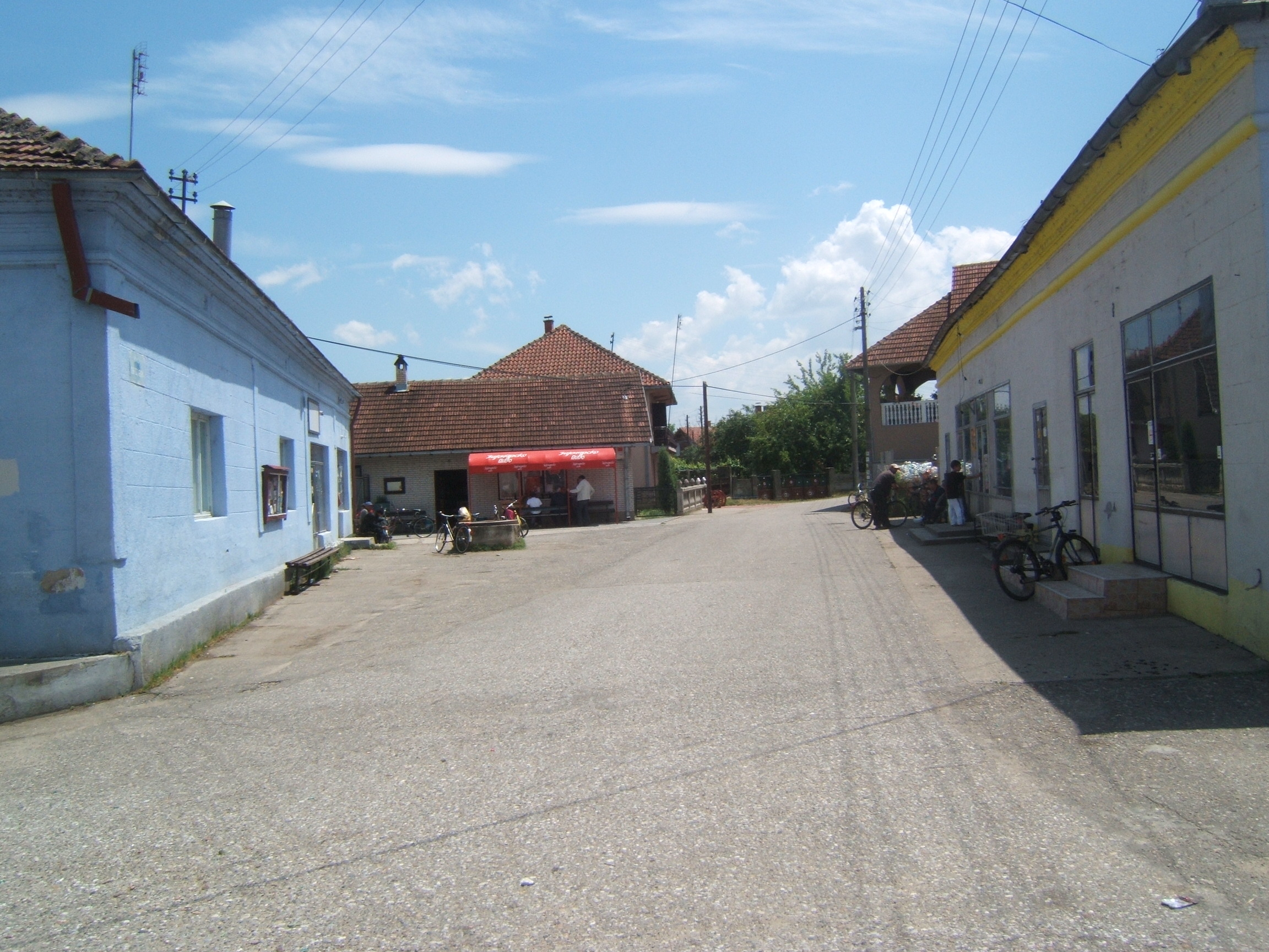
Vajuga
Vajuga (Serbian Cyrillic: Вајуга) is a village in Serbia located in the municipality of Kladovo, in the district of Bor. In 2002, it had 563 inhabitants, of which the majority were Serbs. necropolis with burials, ceramics and metal items dating to 8..
Vajuga Wikipedia Page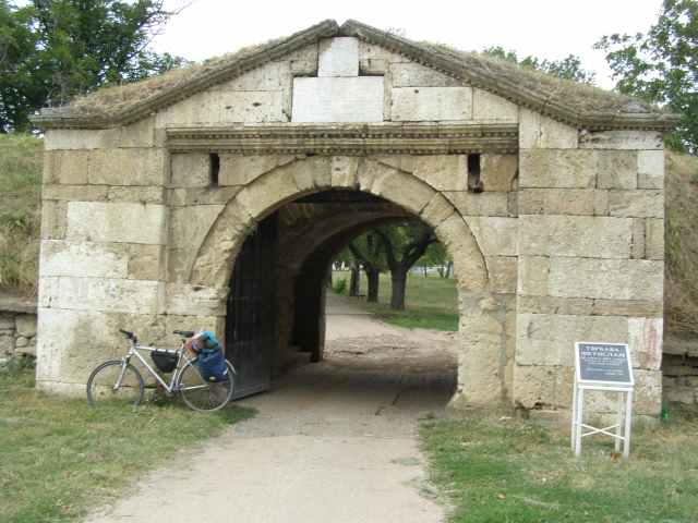

About Our Data
The data on this page is estimated using a number of publicly available tools and resources. It is provided without warranty, and could contain inaccuracies. Use at your own risk.