Arclin Facts
| Local Time | |
| Timezone | Central European Summer Time |
| Lat & Lng | 46.27444, 15.30306 |
Map of Arclin
Interactive Map
Recent Nearby Earthquakes
Magnitude 3.0 and greater
| Date▼ | Time↕ | Magnitude↕ | Distance↕ | Depth↕ | Location↕ | Link |
|---|---|---|---|---|---|---|
| 11/1/15 | 7:52 AM | 4.3 | 49.7 km | 2,360 m | 5km SSW of Brezice, Slovenia | usgs.gov |
| 6/16/13 | 8:04 PM | 4 | 61.6 km | 10,000 m | 5km WSW of Zuzemberk, Slovenia | usgs.gov |
| 4/7/13 | 11:23 AM | 3.4 | 41.6 km | 10,000 m | 6km NNE of Moravce, Slovenia | usgs.gov |
| 12/3/12 | 4:36 AM | 4.3 | 41.7 km | 8,500 m | Slovenia | usgs.gov |
| 6/25/08 | 2:09 PM | 3.1 | 47.4 km | 9,400 m | Slovenia | usgs.gov |
| 4/19/08 | 1:49 AM | 3.9 | 32 km | 10,000 m | Slovenia | usgs.gov |
| 12/18/07 | 3:26 AM | 3.1 | 73 km | 5,000 m | Croatia | usgs.gov |
| 9/29/07 | 1:24 AM | 3.4 | 42.2 km | 11,000 m | Slovenia | usgs.gov |
| 9/26/07 | 8:38 PM | 3.2 | 51.9 km | 10,000 m | Slovenia | usgs.gov |
| 9/26/07 | 7:47 PM | 3.2 | 50 km | 10,000 m | Slovenia | usgs.gov |
Source: U.S. Geological Survey (USGS)
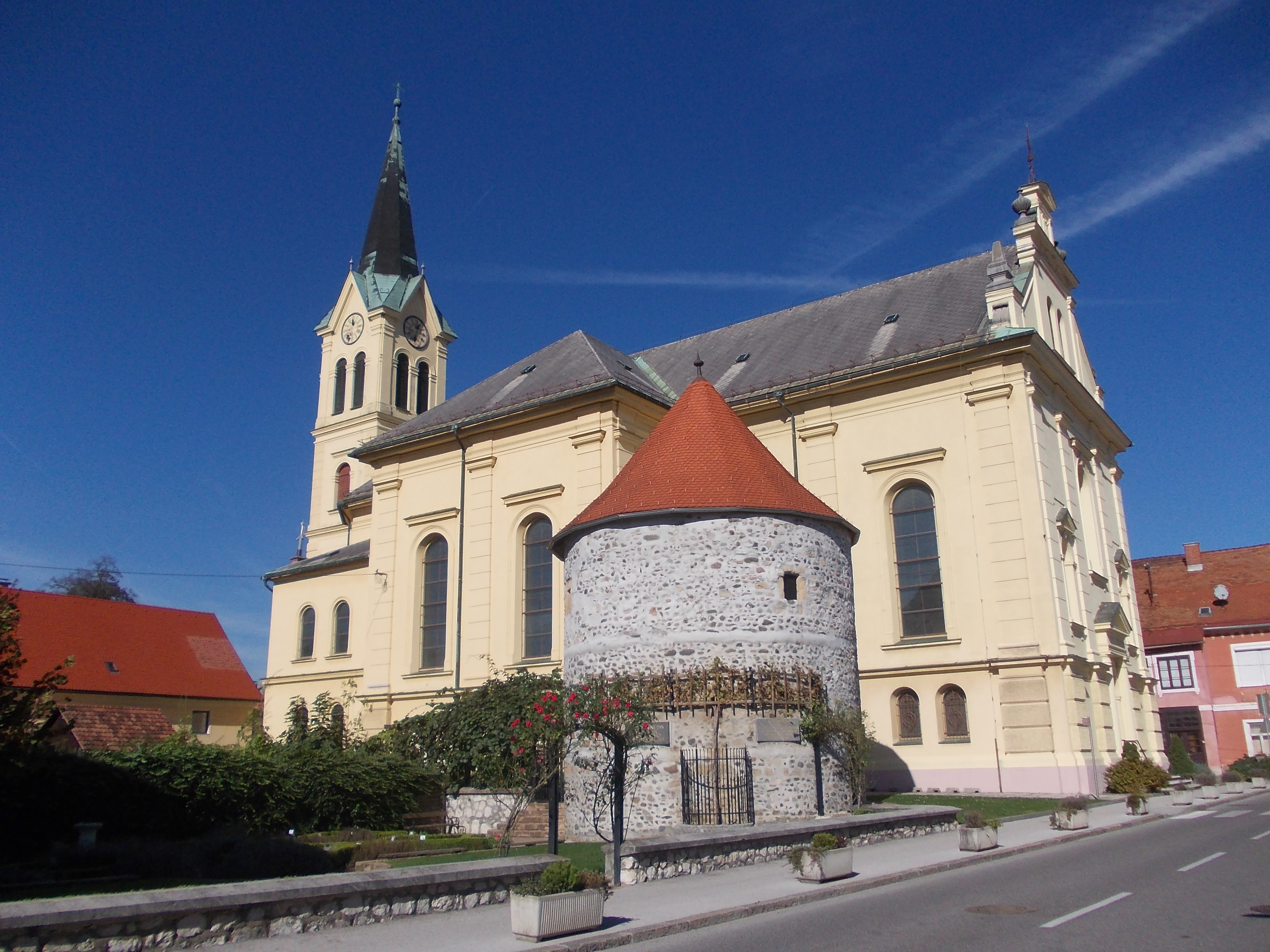
Arclin
Arclin (pronounced [aɾtsˈliːn]) is a settlement in the Municipality of Vojnik in eastern Slovenia. It lies on the main road south of Vojnik towards Celje. The area was traditionally part of the Styria region. It is now included with the rest of the m..
Arclin Wikipedia Page


About Our Data
The data on this page is estimated using a number of publicly available tools and resources. It is provided without warranty, and could contain inaccuracies. Use at your own risk.