Bratonci Facts
| Local Time | |
| Timezone | Central European Summer Time |
| Lat & Lng | 46.61806, 16.21917 |
Map of Bratonci
Interactive Map
Recent Nearby Earthquakes
Magnitude 3.0 and greater
| Date▼ | Time↕ | Magnitude↕ | Distance↕ | Depth↕ | Location↕ | Link |
|---|---|---|---|---|---|---|
| 11/1/15 | 7:52 AM | 4.3 | 98.6 km | 2,360 m | 5km SSW of Brezice, Slovenia | usgs.gov |
| 9/26/07 | 8:38 PM | 3.2 | 98.7 km | 10,000 m | Slovenia | usgs.gov |
| 9/26/07 | 7:47 PM | 3.2 | 98.9 km | 10,000 m | Slovenia | usgs.gov |
| 8/19/07 | 10:57 PM | 3 | 46.7 km | 9,800 m | Hungary | usgs.gov |
| 3/3/07 | 8:35 PM | 3 | 93.1 km | 10,000 m | Hungary | usgs.gov |
| 12/9/05 | 6:50 AM | 3.3 | 56.9 km | 10,000 m | Croatia | usgs.gov |
| 12/7/05 | 5:22 AM | 3.4 | 62.3 km | 10,000 m | Croatia | usgs.gov |
| 8/2/05 | 10:47 AM | 3.4 | 56.6 km | 10,000 m | Croatia | usgs.gov |
| 12/16/03 | 7:06 AM | 4 | 62.6 km | 10,000 m | Hungary | usgs.gov |
| 11/29/03 | 9:59 AM | 3.2 | 77.8 km | 10,000 m | Croatia | usgs.gov |
Source: U.S. Geological Survey (USGS)
Bratonci
Bratonci (pronounced [ˈbɾaːtɔntsi]; Hungarian: Murabaráti, German: Neuhof) is a village in the Municipality of Beltinci in the Prekmurje region of northeastern Slovenia. is a small church in the settlement. It was built in 1898 and is dedicated to M..
Bratonci Wikipedia Page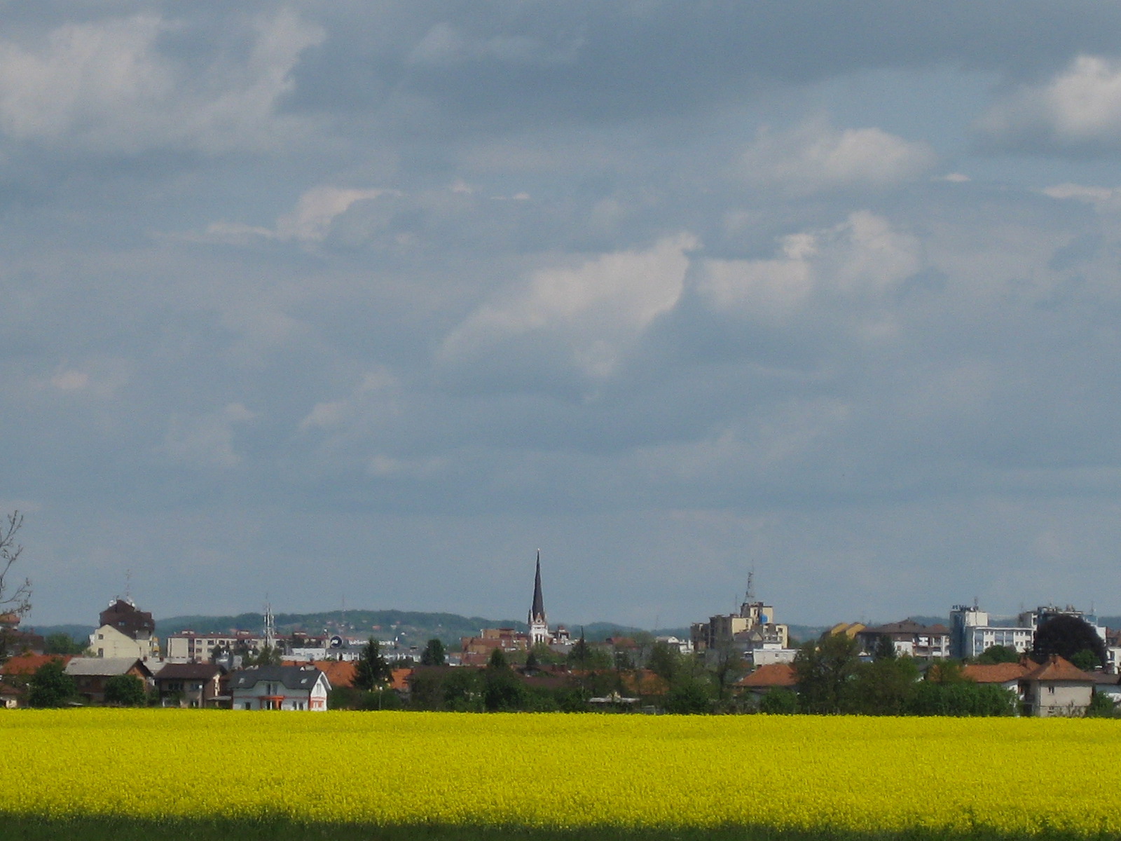


About Our Data
The data on this page is estimated using a number of publicly available tools and resources. It is provided without warranty, and could contain inaccuracies. Use at your own risk.