Ihova Facts
| Local Time | |
| Timezone | Central European Summer Time |
| Lat & Lng | 46.63139, 15.90944 |
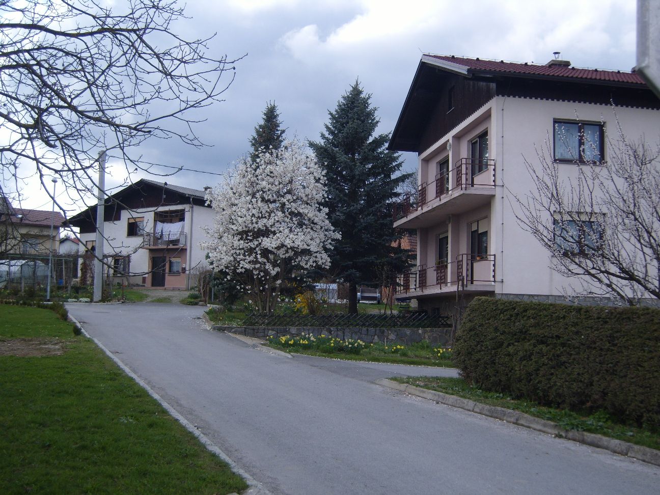
Map of Ihova
Interactive Map
Recent Nearby Earthquakes
Magnitude 3.0 and greater
| Date▼ | Time↕ | Magnitude↕ | Distance↕ | Depth↕ | Location↕ | Link |
|---|---|---|---|---|---|---|
| 11/1/15 | 7:52 AM | 4.3 | 89.9 km | 2,360 m | 5km SSW of Brezice, Slovenia | usgs.gov |
| 9/29/07 | 1:24 AM | 3.4 | 91.3 km | 11,000 m | Slovenia | usgs.gov |
| 9/26/07 | 8:38 PM | 3.2 | 90.6 km | 10,000 m | Slovenia | usgs.gov |
| 9/26/07 | 7:47 PM | 3.2 | 90.2 km | 10,000 m | Slovenia | usgs.gov |
| 8/19/07 | 10:57 PM | 3 | 69.4 km | 9,800 m | Hungary | usgs.gov |
| 10/28/06 | 1:55 PM | 4.2 | 99.1 km | 10,000 m | Croatia | usgs.gov |
| 12/9/05 | 6:50 AM | 3.3 | 69.7 km | 10,000 m | Croatia | usgs.gov |
| 12/7/05 | 5:22 AM | 3.4 | 74.9 km | 10,000 m | Croatia | usgs.gov |
| 8/2/05 | 10:47 AM | 3.4 | 70.9 km | 10,000 m | Croatia | usgs.gov |
| 11/29/03 | 9:59 AM | 3.2 | 79.8 km | 10,000 m | Croatia | usgs.gov |
Source: U.S. Geological Survey (USGS)
Ihova
Ihova (pronounced [ˈiːxɔʋa]) is a settlement in the Slovene Hills (Slovene: Slovenske gorice) in the Municipality of Benedikt in northeastern Slovenia. The area was part of the traditional region of Styria. It is now included in the Drava Statistical..
Ihova Wikipedia Page

About Our Data
The data on this page is estimated using a number of publicly available tools and resources. It is provided without warranty, and could contain inaccuracies. Use at your own risk.