Koritnice Facts
| Local Time | |
| Timezone | Central European Summer Time |
| Lat & Lng | 45.62045, 14.33257 |
Map of Koritnice
Interactive Map
Recent Nearby Earthquakes
Magnitude 3.0 and greater
| Date▼ | Time↕ | Magnitude↕ | Distance↕ | Depth↕ | Location↕ | Link |
|---|---|---|---|---|---|---|
| 8/8/17 | 9:35 AM | 4 | 51.1 km | 10,000 m | 3km E of Omisalj, Croatia | usgs.gov |
| 4/22/14 | 8:58 AM | 4.5 | 6.2 km | 4,600 m | 6km SE of Pivka, Slovenia | usgs.gov |
| 3/13/14 | 5:31 PM | 4.4 | 42.8 km | 2,000 m | 9km E of Ribnica, Slovenia | usgs.gov |
| 10/21/08 | 8:12 AM | 3.4 | 18.8 km | 10,000 m | Slovenia | usgs.gov |
| 10/6/08 | 9:19 AM | 3.3 | 39 km | 10,000 m | Slovenia-Croatia border region | usgs.gov |
| 6/10/07 | 8:48 PM | 3.2 | 39.2 km | 10,000 m | Croatia | usgs.gov |
| 12/12/05 | 2:14 PM | 3.2 | 54.1 km | 2,700 m | Slovenia | usgs.gov |
| 8/30/05 | 11:28 AM | 3.1 | 58.6 km | 10,000 m | Slovenia | usgs.gov |
| 4/24/05 | 6:34 PM | 4.4 | 8.8 km | 10,000 m | Slovenia | usgs.gov |
| 3/9/05 | 2:46 PM | 3.4 | 41.4 km | 5,000 m | Croatia | usgs.gov |
Source: U.S. Geological Survey (USGS)
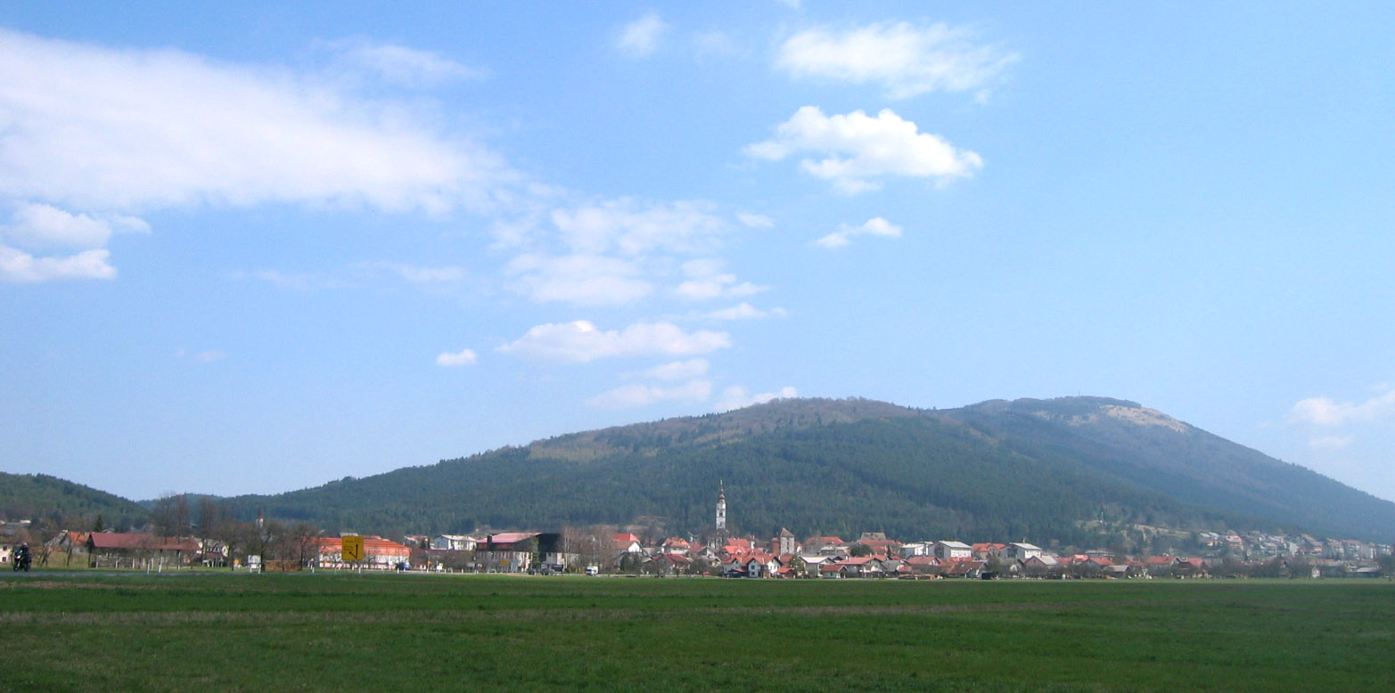
Koritnice
Koritnice (pronounced [kɔˈɾiːtnitsɛ]; Italian: Coritenza) is a village east of Knežak in the Municipality of Ilirska Bistrica in the Inner Carniola region of Slovenia.
Koritnice Wikipedia Page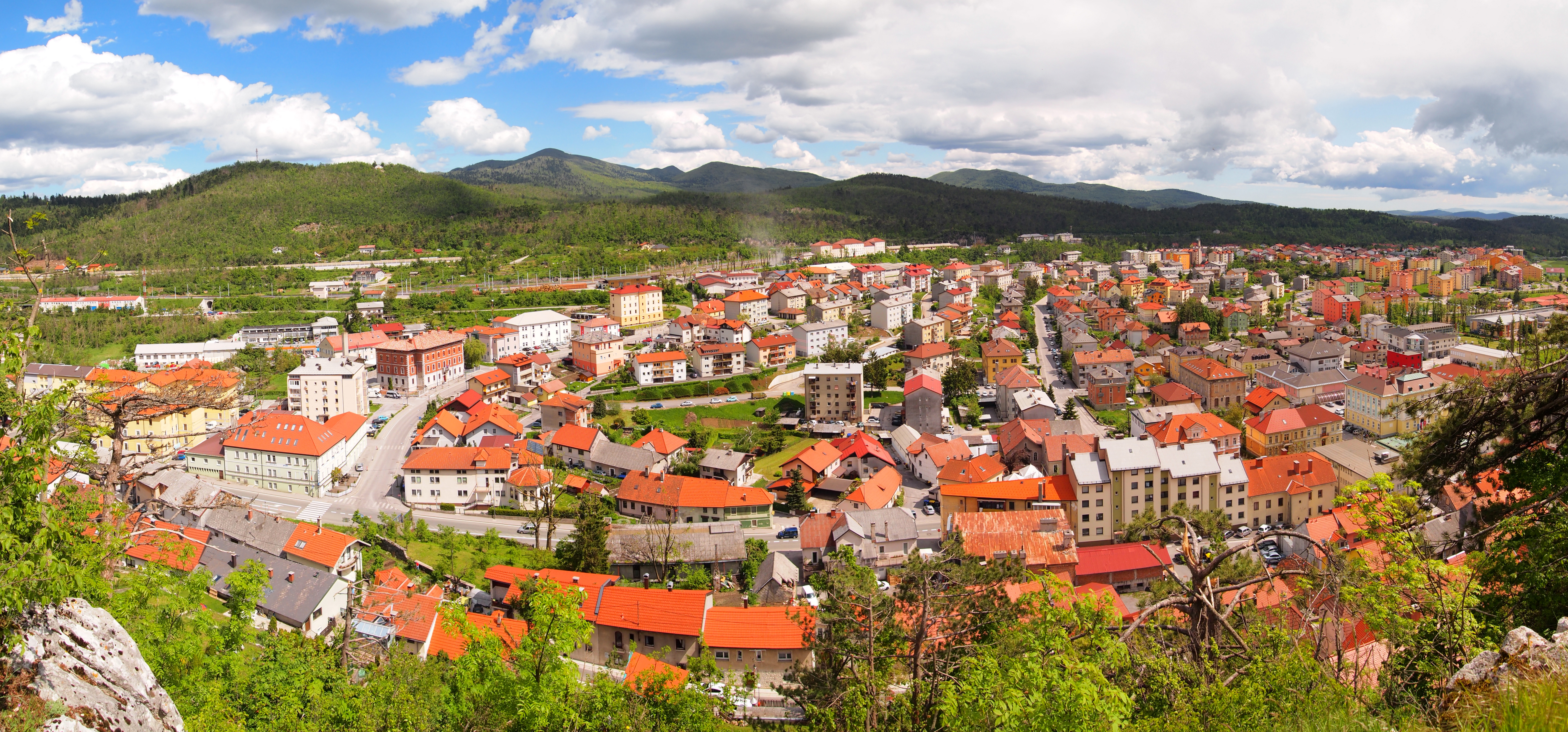

About Our Data
The data on this page is estimated using a number of publicly available tools and resources. It is provided without warranty, and could contain inaccuracies. Use at your own risk.