Kovor Facts
| Local Time | |
| Timezone | Central European Summer Time |
| Lat & Lng | 46.35000, 14.28333 |
Map of Kovor
Interactive Map
Recent Nearby Earthquakes
Magnitude 3.0 and greater
| Date▼ | Time↕ | Magnitude↕ | Distance↕ | Depth↕ | Location↕ | Link |
|---|---|---|---|---|---|---|
| 5/29/14 | 7:24 AM | 3.7 | 40.7 km | 6,900 m | 8km W of Cerkno, Slovenia | usgs.gov |
| 4/7/13 | 11:23 AM | 3.4 | 42.1 km | 10,000 m | 6km NNE of Moravce, Slovenia | usgs.gov |
| 2/2/13 | 1:35 PM | 4 | 30.2 km | 10,000 m | Austria | usgs.gov |
| 12/3/12 | 4:36 AM | 4.3 | 41.7 km | 8,500 m | Slovenia | usgs.gov |
| 12/29/08 | 4:10 AM | 3 | 56.6 km | 8,800 m | Austria | usgs.gov |
| 7/15/07 | 4:36 PM | 3.2 | 49.1 km | 10,000 m | Austria | usgs.gov |
| 5/2/07 | 12:49 PM | 3.7 | 25.4 km | 2,000 m | Austria | usgs.gov |
| 1/1/07 | 2:59 PM | 4.2 | 14.8 km | 10,000 m | Austria | usgs.gov |
| 12/8/06 | 5:34 PM | 3 | 46.6 km | 10,000 m | Slovenia | usgs.gov |
| 5/19/06 | 2:00 PM | 3.6 | 46.8 km | 10,000 m | Austria | usgs.gov |
Source: U.S. Geological Survey (USGS)
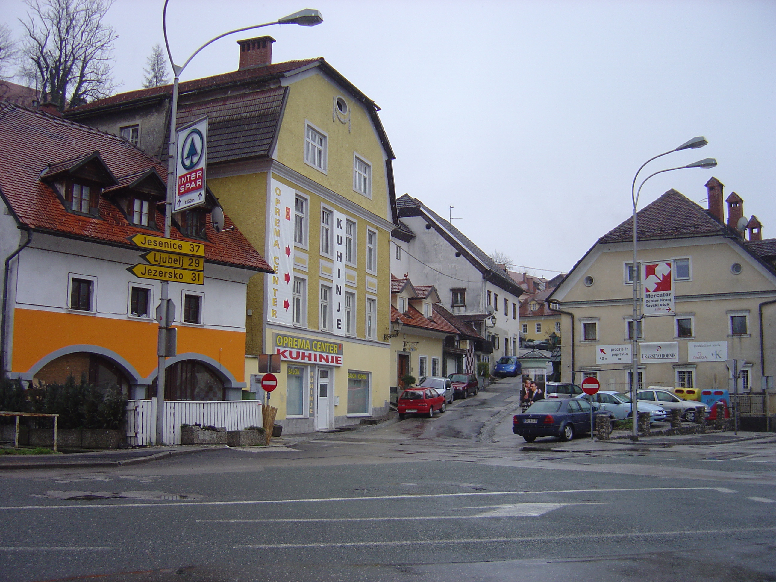
Kovor
Kovor (pronounced [ˈkɔːʋɔɾ]; German: Kaier) is a village in the Municipality of Tržič in the Upper Carniola region of Slovenia. parish church in the village is dedicated to John the Baptist and is first mentioned in documents dating to 1296. The bui..
Kovor Wikipedia Page


About Our Data
The data on this page is estimated using a number of publicly available tools and resources. It is provided without warranty, and could contain inaccuracies. Use at your own risk.