Podova Facts
| Local Time | |
| Timezone | Central European Summer Time |
| Lat & Lng | 46.43611, 15.69806 |
Map of Podova
Interactive Map
Recent Nearby Earthquakes
Magnitude 3.0 and greater
| Date▼ | Time↕ | Magnitude↕ | Distance↕ | Depth↕ | Location↕ | Link |
|---|---|---|---|---|---|---|
| 11/1/15 | 7:52 AM | 4.3 | 64.8 km | 2,360 m | 5km SSW of Brezice, Slovenia | usgs.gov |
| 4/19/08 | 1:49 AM | 3.9 | 67.3 km | 10,000 m | Slovenia | usgs.gov |
| 3/5/08 | 7:41 PM | 3.5 | 87.1 km | 10,000 m | Croatia | usgs.gov |
| 9/29/07 | 1:24 AM | 3.4 | 64.8 km | 11,000 m | Slovenia | usgs.gov |
| 9/26/07 | 8:38 PM | 3.2 | 65.9 km | 10,000 m | Slovenia | usgs.gov |
| 9/26/07 | 7:47 PM | 3.2 | 65.1 km | 10,000 m | Slovenia | usgs.gov |
| 10/28/06 | 1:55 PM | 4.2 | 75.5 km | 10,000 m | Croatia | usgs.gov |
| 7/19/06 | 2:34 AM | 3.2 | 81.3 km | 10,000 m | Croatia | usgs.gov |
| 1/23/06 | 9:29 PM | 3.7 | 78.2 km | 10,000 m | Croatia | usgs.gov |
| 1/15/06 | 2:41 AM | 3.4 | 64 km | 10,000 m | Slovenia | usgs.gov |
Source: U.S. Geological Survey (USGS)
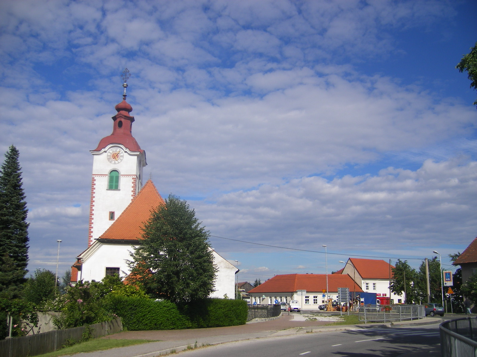
Podova
Podova is a settlement in the Rače-Fram municipality in northeastern Slovenia. It lies on the flatlands on the right bank of the river Drava to the southeast of Rače. The area is part of the traditional region of Lower Styria. The municipality is now..
Podova Wikipedia Page

About Our Data
The data on this page is estimated using a number of publicly available tools and resources. It is provided without warranty, and could contain inaccuracies. Use at your own risk.