Categories in Ruše
Industries
Business Distribution by Industry in Ruše
| Industry Description | Number of Establishments | Average Google Rating |
|---|---|---|
| Firefighting and rescue | 58 | 4.2 |
| Shopping | 22 | 4 |
| Shopping other | 19 | 4.1 |
| Health and medical | 15 | 4.9 |
| Wholesale of machinery | 13 | 4.7 |
| Restaurants | 13 | 4.5 |
| Construction of buildings | 11 | 4 |
| Education | 10 | 3.6 |
| Grocery stores and supermarkets | 9 | 4.2 |
| Hardware store | 9 | 4.7 |
| Bars, pubs and taverns | 9 | 3 |
| All food and beverage | 8 | 4.1 |
| Car repair | 7 | 4.9 |
| Agricultural wholesale | 7 | 5 |
| Electronics stores | 6 | 2.2 |
| Wholesale of household goods | 6 | 1.8 |
| Laundry | 6 | — |
Ruše Facts
| Area | 70.4 km² |
| Population | 7,109 |
| Male Population | 3,612 (50.8%) |
| Female Population | 3,497 (49.2%) |
| Population change (1975 to 2020) | -13.0% |
| Population change (2000 to 2020) | -7.6% |
| Median Age | 43 years (Male: 41.5, Female: 44.7) |
| Neighborhoods | Bezena, Lobnica, Smolnik |
| Local Time | |
| Timezone | Central European Summer Time |
| Lat & Lng | 46.53944, 15.51583 |
| Postal Codes | 2345 |
Map of Ruše
Interactive Map
Ruše Population
Years 1975 to 2020
| Data | 1975 | 1990 | 2000 | 2015 | 2020 |
|---|---|---|---|---|---|
| Population | 8,167 | 8,415 | 7,690 | 6,937 | 7,109 |
| Population Density | 115.9 / km² | 119.5 / km² | 109.2 / km² | 98.5 / km² | 100.9 / km² |
Ruše Population change from 2000 to 2015
Decrease of 9.8% from year 2000 to 2015
| Location | Change since 1975 | Change since 1990 | Change since 2000 |
|---|---|---|---|
| Ruše | -15.1% | -17.6% | -9.8% |
| Municipality of Ruše | -13.7% | -18.3% | -11.2% |
| Slovenia | +18.4% | +3% | +3.9% |
Ruše Median Age
Median Age: 43 years
| Location | Median Age | Median Age (Female) | Median Age (Male) |
|---|---|---|---|
| Ruše | 43 yrs | 44.7 yrs | 41.5 yrs |
| Municipality of Ruše | 43.1 yrs | 44.7 yrs | 41.7 yrs |
| Slovenia | 41.5 yrs | 43.2 yrs | 39.9 yrs |
Ruše Population Density
Population Density: 101 / km²
| Location | Population | Area | Density |
|---|---|---|---|
| Ruše | 7,109 | 70.4 km² | 101 / km² |
| Municipality of Ruše | 4,875 | 52.7 km² | 92.5 / km² |
| Slovenia | 2.1 million | 20,279.7 km² | 102 / km² |
Ruše Historical and Projected Population
Estimated Population from 0 to 2100
- JRC (European Commission's Joint Research Centre) work on the GHS built-up grid
- CIESIN (Center for International Earth Science Information Network)
- [Link] Klein Goldewijk, K., Beusen, A., Doelman, J., and Stehfest, E.: Anthropogenic land use estimates for the Holocene – HYDE 3.2, Earth Syst. Sci. Data, 9, 927–953, https://doi.org/10.5194/essd-9-927-2017, 2017.
Area Codes
Percentage Area Codes used by businesses in Ruše
Price Distribution
Business distribution by price for Ruše
Human Development Index (HDI)
Statistic composite index of life expectancy, education, and per capita income.
Ruše CO2 Emissions
Carbon Dioxide (CO2) Emissions Per Capita in Tonnes Per Year
| Location | CO2 Emissions | CO2 Emissions Per Capita | CO2 Emissions Intensity |
|---|---|---|---|
| Ruše | 55,573 tn | 7.82 tn | 789 tons/km² |
| Municipality of Ruše | 38,109 tn | 7.82 tn | 722.9 tons/km² |
| Slovenia | 16,409,081 tn | 7.96 tn | 809.1 tons/km² |
| 2013 CO2 emissions (tonnes/year) | 55,573 tn |
| 2013 CO2 emissions (tonnes/year) per capita | 7.82 tn |
| 2013 CO2 emissions intensity (tonnes/km²/year) | 789 tons/km² |
Natural Hazards Risk
Relative risk out of 10
| Hazard | Risk Level |
|---|---|
| Earthquake | Medium (4) |
* Risk, particularly concerning flood or landslide, may not be for the entire area.
- Dilley, M., R.S. Chen, U. Deichmann, A.L. Lerner-Lam, M. Arnold, J. Agwe, P. Buys, O. Kjekstad, B. Lyon, and G. Yetman. 2005. Natural Disaster Hotspots: A Global Risk Analysis. Washington, D.C.: World Bank. https://doi.org/10.1596/0-8213-5930-4.
- Center for Hazards and Risk Research - CHRR - Columbia University, Center for International Earth Science Information Network - CIESIN - Columbia University. 2005. Global Earthquake Hazard Distribution - Peak Ground Acceleration. Palisades, NY: NASA Socioeconomic Data and Applications Center (SEDAC). https://doi.org/10.7927/H4BZ63ZS.
Recent Nearby Earthquakes
Magnitude 3.0 and greater
| Date▼ | Time↕ | Magnitude↕ | Distance↕ | Depth↕ | Location↕ | Link |
|---|---|---|---|---|---|---|
| 11/1/15 | 7:52 AM | 4.3 | 75.4 km | 2,360 m | 5km SSW of Brezice, Slovenia | usgs.gov |
| 4/7/13 | 11:23 AM | 3.4 | 68.9 km | 10,000 m | 6km NNE of Moravce, Slovenia | usgs.gov |
| 12/3/12 | 4:36 AM | 4.3 | 68.8 km | 8,500 m | Slovenia | usgs.gov |
| 6/25/08 | 2:09 PM | 3.1 | 81 km | 9,400 m | Slovenia | usgs.gov |
| 4/19/08 | 1:49 AM | 3.9 | 64 km | 10,000 m | Slovenia | usgs.gov |
| 9/29/07 | 1:24 AM | 3.4 | 72.1 km | 11,000 m | Slovenia | usgs.gov |
| 9/26/07 | 8:38 PM | 3.2 | 76.9 km | 10,000 m | Slovenia | usgs.gov |
| 9/26/07 | 7:47 PM | 3.2 | 75.7 km | 10,000 m | Slovenia | usgs.gov |
| 12/8/06 | 5:34 PM | 3 | 74.9 km | 10,000 m | Slovenia | usgs.gov |
| 10/28/06 | 1:55 PM | 4.2 | 87.5 km | 10,000 m | Croatia | usgs.gov |
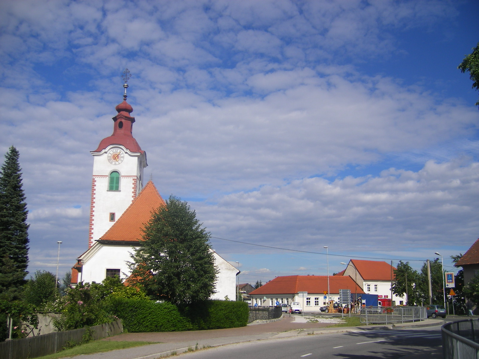
Ruše
Ruše is a small town in northeastern Slovenia. It is the seat of the Municipality of Ruše and lies on the right bank of the Drava River west of Maribor. The area was part of the traditional region of Styria. It is now included in the Drava Statistica..
Ruše Wikipedia Page


About Our Data
The data on this page is estimated using a number of publicly available tools and resources. It is provided without warranty, and could contain inaccuracies. Use at your own risk.