Slomi Facts
| Local Time | |
| Timezone | Central European Summer Time |
| Lat & Lng | 46.45208, 15.98909 |
Map of Slomi
Interactive Map
Recent Nearby Earthquakes
Magnitude 3.0 and greater
| Date▼ | Time↕ | Magnitude↕ | Distance↕ | Depth↕ | Location↕ | Link |
|---|---|---|---|---|---|---|
| 11/1/15 | 7:52 AM | 4.3 | 73.8 km | 2,360 m | 5km SSW of Brezice, Slovenia | usgs.gov |
| 3/5/08 | 7:41 PM | 3.5 | 87.2 km | 10,000 m | Croatia | usgs.gov |
| 9/29/07 | 1:24 AM | 3.4 | 77.7 km | 11,000 m | Slovenia | usgs.gov |
| 9/26/07 | 8:38 PM | 3.2 | 74.1 km | 10,000 m | Slovenia | usgs.gov |
| 9/26/07 | 7:47 PM | 3.2 | 74.1 km | 10,000 m | Slovenia | usgs.gov |
| 8/19/07 | 10:57 PM | 3 | 60.2 km | 9,800 m | Hungary | usgs.gov |
| 10/28/06 | 1:55 PM | 4.2 | 81.4 km | 10,000 m | Croatia | usgs.gov |
| 7/19/06 | 2:34 AM | 3.2 | 88.1 km | 10,000 m | Croatia | usgs.gov |
| 1/23/06 | 9:29 PM | 3.7 | 81.2 km | 10,000 m | Croatia | usgs.gov |
| 12/9/05 | 6:50 AM | 3.3 | 50.7 km | 10,000 m | Croatia | usgs.gov |
Source: U.S. Geological Survey (USGS)
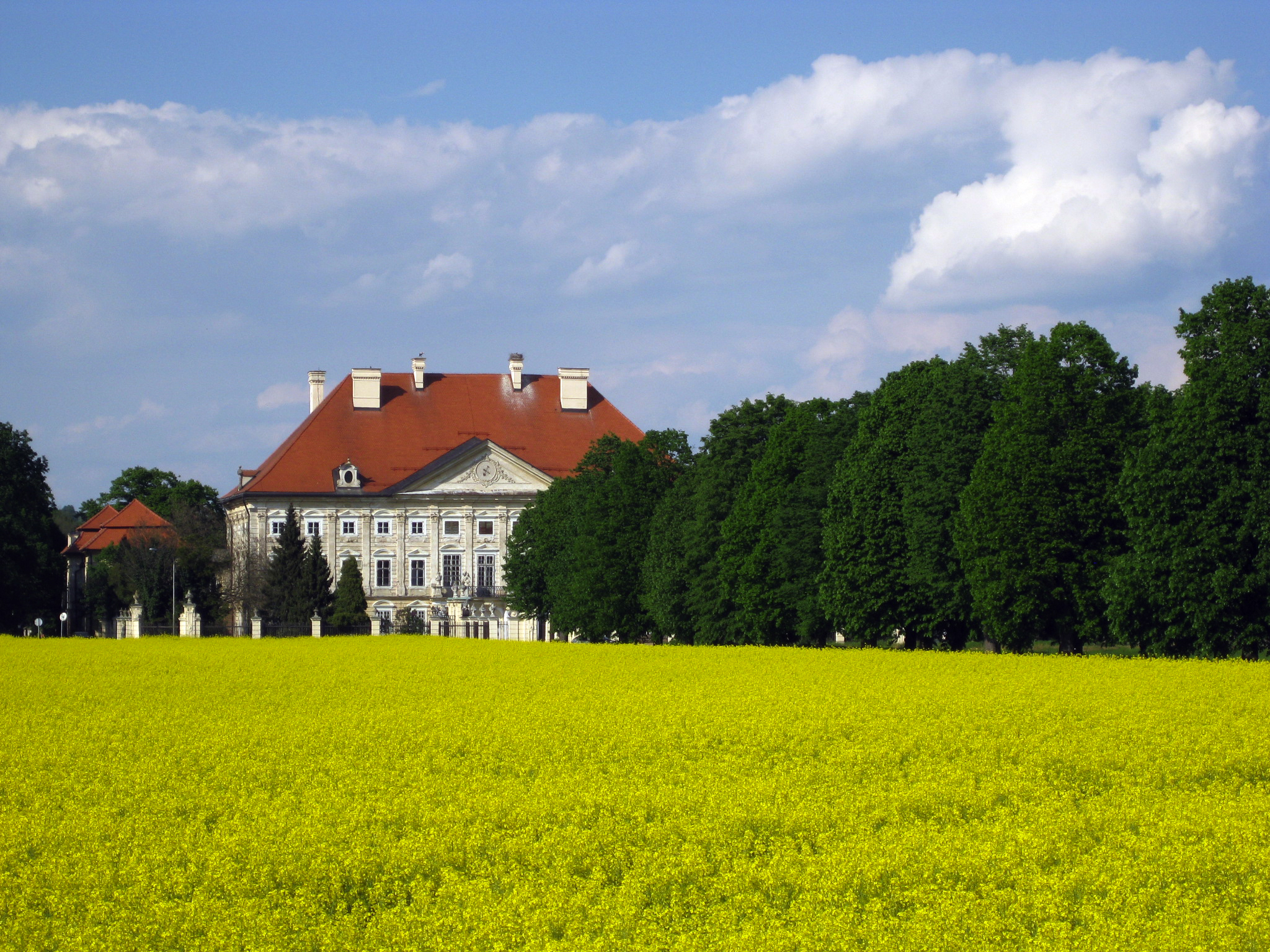
Slomi
Slomi (pronounced [ˈsloːmi]) is a settlement in the Municipality of Dornava in northeastern Slovenia. It lies on the southeastern edge of the Slovene Hills (Slovene: Slovenske gorice), just north of Dornava on the road to Polenšak. The area is part o..
Slomi Wikipedia Page

About Our Data
The data on this page is estimated using a number of publicly available tools and resources. It is provided without warranty, and could contain inaccuracies. Use at your own risk.