Smuka Facts
| Local Time | |
| Timezone | Central European Summer Time |
| Lat & Lng | 45.76083, 14.92889 |
Map of Smuka
Interactive Map
Recent Nearby Earthquakes
Magnitude 3.0 and greater
| Date▼ | Time↕ | Magnitude↕ | Distance↕ | Depth↕ | Location↕ | Link |
|---|---|---|---|---|---|---|
| 3/13/14 | 5:31 PM | 4.4 | 6.3 km | 2,000 m | 9km E of Ribnica, Slovenia | usgs.gov |
| 6/16/13 | 8:04 PM | 4 | 7.2 km | 10,000 m | 5km WSW of Zuzemberk, Slovenia | usgs.gov |
| 4/7/13 | 11:23 AM | 3.4 | 49 km | 10,000 m | 6km NNE of Moravce, Slovenia | usgs.gov |
| 12/3/12 | 4:36 AM | 4.3 | 49.5 km | 8,500 m | Slovenia | usgs.gov |
| 6/25/08 | 2:09 PM | 3.1 | 16.7 km | 9,400 m | Slovenia | usgs.gov |
| 4/19/08 | 1:49 AM | 3.9 | 38.7 km | 10,000 m | Slovenia | usgs.gov |
| 12/18/07 | 3:26 AM | 3.1 | 38.1 km | 5,000 m | Croatia | usgs.gov |
| 9/29/07 | 1:24 AM | 3.4 | 37.9 km | 11,000 m | Slovenia | usgs.gov |
| 5/26/07 | 6:03 AM | 3.3 | 40.8 km | 10,000 m | Croatia | usgs.gov |
| 12/8/06 | 5:34 PM | 3 | 40 km | 10,000 m | Slovenia | usgs.gov |
Source: U.S. Geological Survey (USGS)
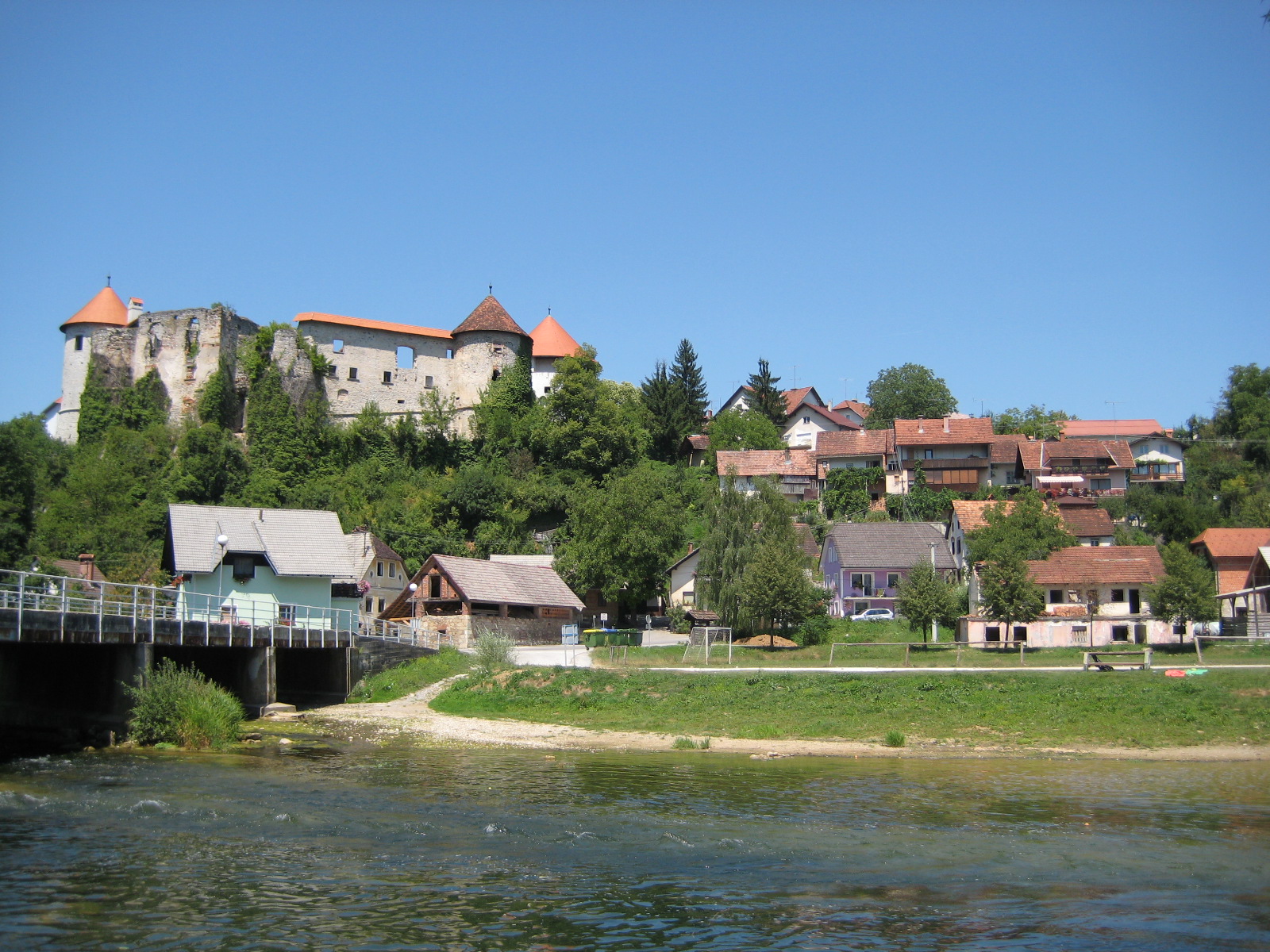
Smuka
Smuka (pronounced [ˈsmuːka]; in older sources also Smuk, German: Langenton or Langenthon, Gottscheerish: Zmuk) is a settlement in the Municipality of Kočevje in southern Slovenia. It was a village inhabited by Gottschee Germans. In 1941 at the beginn..
Smuka Wikipedia Page


About Our Data
The data on this page is estimated using a number of publicly available tools and resources. It is provided without warranty, and could contain inaccuracies. Use at your own risk.