Tunjice Facts
| Local Time | |
| Timezone | Central European Summer Time |
| Lat & Lng | 46.23534, 14.56791 |
Map of Tunjice
Interactive Map
Recent Nearby Earthquakes
Magnitude 3.0 and greater
| Date▼ | Time↕ | Magnitude↕ | Distance↕ | Depth↕ | Location↕ | Link |
|---|---|---|---|---|---|---|
| 3/13/14 | 5:31 PM | 4.4 | 58.2 km | 2,000 m | 9km E of Ribnica, Slovenia | usgs.gov |
| 6/16/13 | 8:04 PM | 4 | 52.7 km | 10,000 m | 5km WSW of Zuzemberk, Slovenia | usgs.gov |
| 4/7/13 | 11:23 AM | 3.4 | 17 km | 10,000 m | 6km NNE of Moravce, Slovenia | usgs.gov |
| 2/2/13 | 1:35 PM | 4 | 28.6 km | 10,000 m | Austria | usgs.gov |
| 12/3/12 | 4:36 AM | 4.3 | 16.7 km | 8,500 m | Slovenia | usgs.gov |
| 4/19/08 | 1:49 AM | 3.9 | 33.8 km | 10,000 m | Slovenia | usgs.gov |
| 5/2/07 | 12:49 PM | 3.7 | 28.4 km | 2,000 m | Austria | usgs.gov |
| 1/1/07 | 2:59 PM | 4.2 | 36.3 km | 10,000 m | Austria | usgs.gov |
| 12/8/06 | 5:34 PM | 3 | 21.5 km | 10,000 m | Slovenia | usgs.gov |
| 1/26/06 | 3:42 PM | 3.2 | 24.7 km | 10,000 m | Slovenia | usgs.gov |
Source: U.S. Geological Survey (USGS)
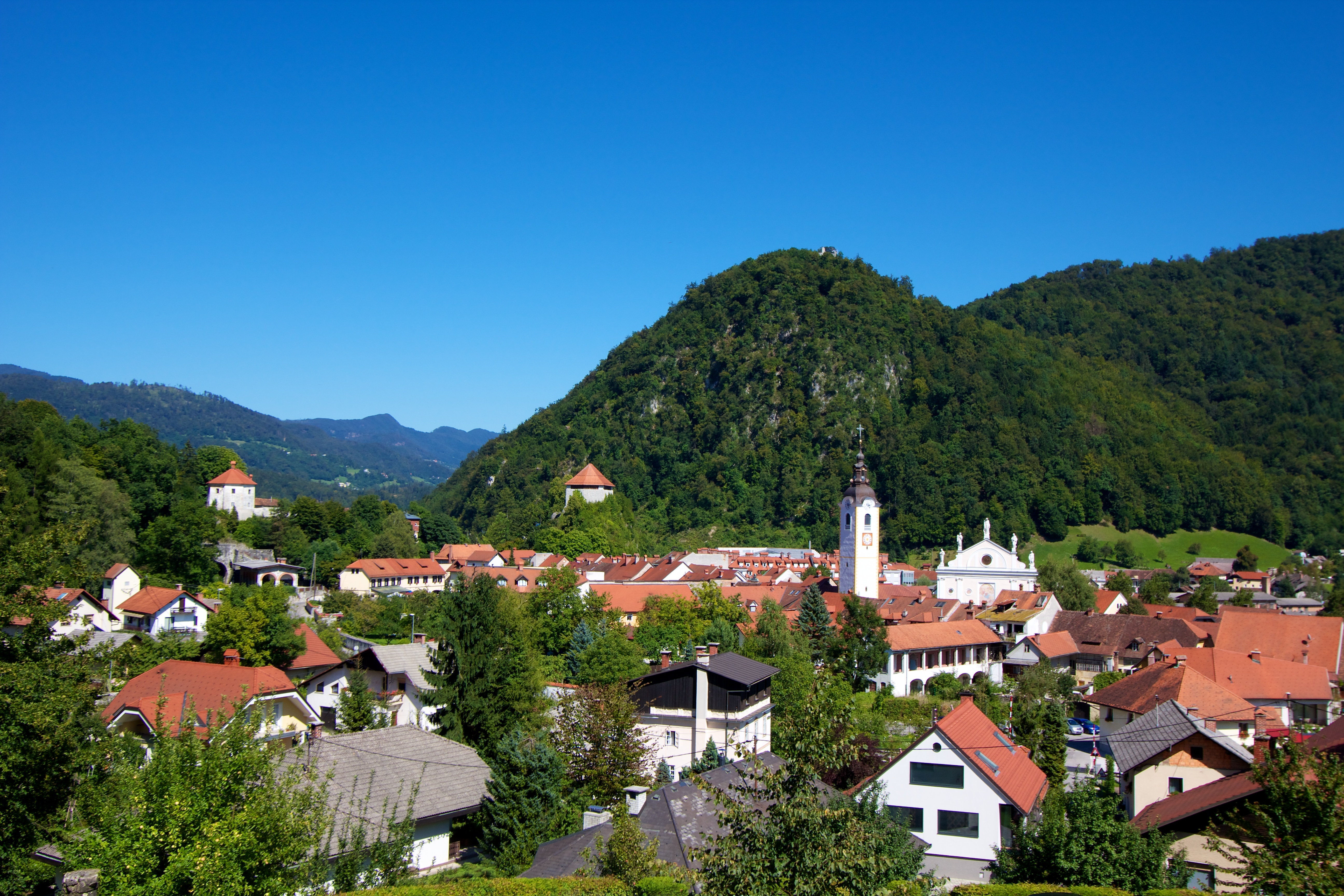
Tunjice
Tunjice (pronounced ['tuːnjitsɛ]; German: Theinitz) is a dispersed settlement in the Tunjice Hills (Slovene: Tunjiško gričevje) west of the town of Kamnik in Upper Carniola region of Slovenia. the forest close to the church a "natural healing grove"..
Tunjice Wikipedia Page


About Our Data
The data on this page is estimated using a number of publicly available tools and resources. It is provided without warranty, and could contain inaccuracies. Use at your own risk.