Vrbljene Facts
| Local Time | |
| Timezone | Central European Summer Time |
| Lat & Lng | 45.95250, 14.49222 |
Map of Vrbljene
Interactive Map
Recent Nearby Earthquakes
Magnitude 3.0 and greater
| Date▼ | Time↕ | Magnitude↕ | Distance↕ | Depth↕ | Location↕ | Link |
|---|---|---|---|---|---|---|
| 4/22/14 | 8:58 AM | 4.5 | 39.9 km | 4,600 m | 6km SE of Pivka, Slovenia | usgs.gov |
| 3/13/14 | 5:31 PM | 4.4 | 35.8 km | 2,000 m | 9km E of Ribnica, Slovenia | usgs.gov |
| 6/16/13 | 8:04 PM | 4 | 33.2 km | 10,000 m | 5km WSW of Zuzemberk, Slovenia | usgs.gov |
| 4/7/13 | 11:23 AM | 3.4 | 34.3 km | 10,000 m | 6km NNE of Moravce, Slovenia | usgs.gov |
| 12/3/12 | 4:36 AM | 4.3 | 34.5 km | 8,500 m | Slovenia | usgs.gov |
| 10/21/08 | 8:12 AM | 3.4 | 42.5 km | 10,000 m | Slovenia | usgs.gov |
| 12/8/06 | 5:34 PM | 3 | 27.5 km | 10,000 m | Slovenia | usgs.gov |
| 8/30/05 | 11:28 AM | 3.1 | 23.7 km | 10,000 m | Slovenia | usgs.gov |
| 4/24/05 | 6:34 PM | 4.4 | 46.7 km | 10,000 m | Slovenia | usgs.gov |
| 9/22/04 | 2:55 PM | 4.1 | 31.9 km | 6,000 m | Slovenia | usgs.gov |
Source: U.S. Geological Survey (USGS)
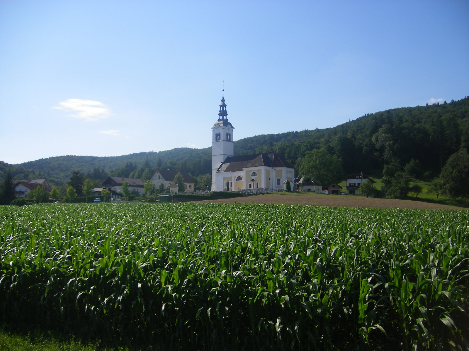
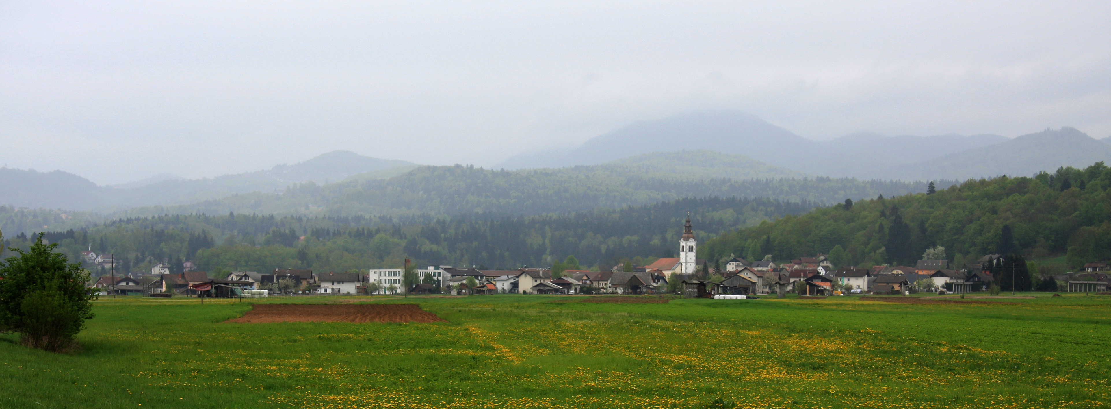
Vrbljene
Vrbljene (pronounced [ˈʋəɾbljɛnɛ]) is a village south of Tomišelj in the Municipality of Ig in central Slovenia. The municipality is part of the traditional region of Inner Carniola and is now included in the Central Slovenia Statistical Region.
Vrbljene Wikipedia Page
About Our Data
The data on this page is estimated using a number of publicly available tools and resources. It is provided without warranty, and could contain inaccuracies. Use at your own risk.