Darkush Facts
| Local Time | |
| Timezone | GMT+03:00 |
| Lat & Lng | 35.99168, 36.39416 |
Map of Darkush
Interactive Map
Recent Nearby Earthquakes
Magnitude 3.0 and greater
| Date▼ | Time↕ | Magnitude↕ | Distance↕ | Depth↕ | Location↕ | Link |
|---|---|---|---|---|---|---|
| 4/15/19 | 8:10 PM | 3 | 50.1 km | 10,000 m | 11km NW of Toygarli, Turkey | usgs.gov |
| 2/20/19 | 5:35 AM | 4 | 47.6 km | 10,000 m | 10km WSW of Samandagi, Turkey | usgs.gov |
| 2/10/15 | 4:01 AM | 4.4 | 38.7 km | 11,800 m | 3km S of Samandagi, Turkey | usgs.gov |
| 9/22/14 | 7:25 AM | 4.1 | 99.4 km | 10,000 m | 22km SW of Latakia, Syria | usgs.gov |
| 6/9/14 | 3:38 AM | 4.6 | 89.1 km | 17,600 m | 19km NW of Denizciler, Turkey | usgs.gov |
| 2/14/14 | 12:33 AM | 4.7 | 87.7 km | 10,000 m | 16km NW of Denizciler, Turkey | usgs.gov |
| 7/26/13 | 12:22 AM | 4 | 45.6 km | 17,400 m | 9km SW of Samandagi, Turkey | usgs.gov |
| 11/14/10 | 11:08 PM | 4.9 | 74.5 km | 2,600 m | Turkey-Syria border region | usgs.gov |
| 6/17/09 | 4:29 AM | 5 | 34.3 km | 10,400 m | Turkey-Syria border region | usgs.gov |
| 6/19/08 | 12:24 AM | 3.6 | 88 km | 5,000 m | central Turkey | usgs.gov |
Source: U.S. Geological Survey (USGS)
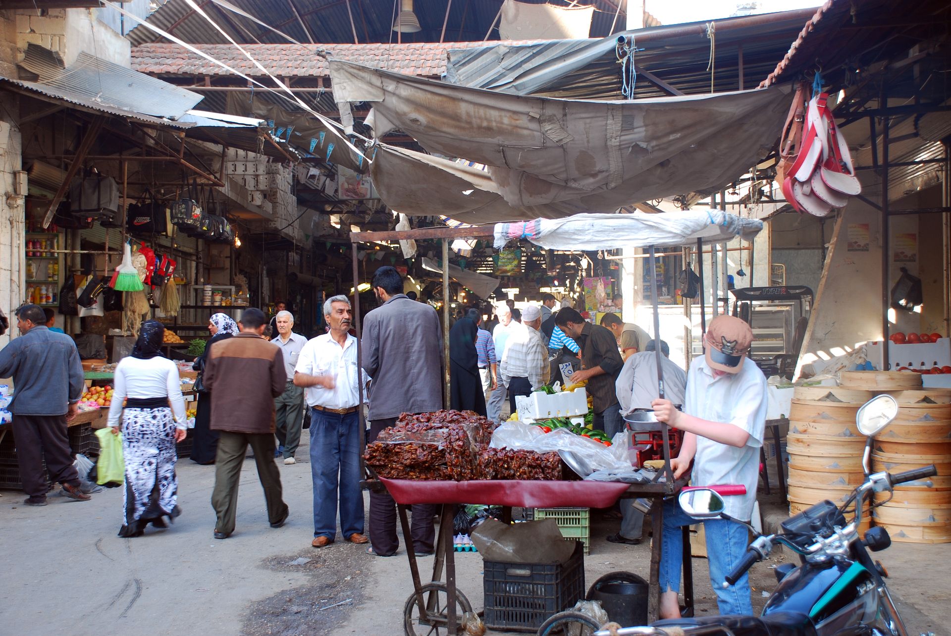
Darkush
Darkush (Arabic: دركوش; also spelled Darkoush or Derkush) is a town in northern Syria, administratively part of the Idlib Governorate, located northwest of Idlib along the Syrian–Turkish borderns on the Orontes River. Nearby localities include al-Ja..
Darkush Wikipedia Page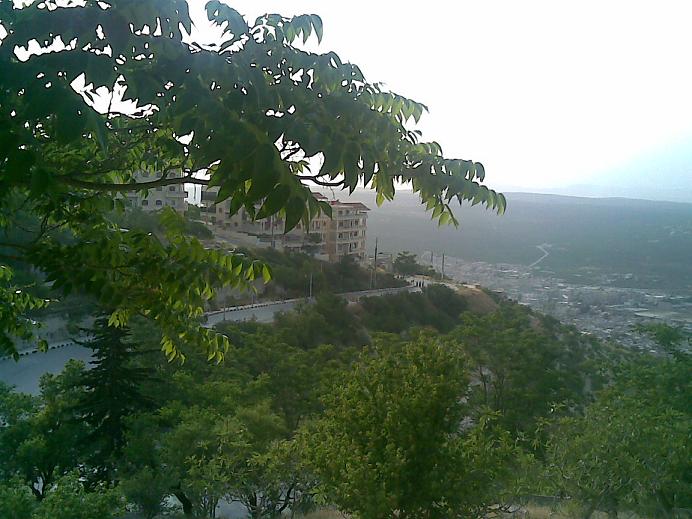

About Our Data
The data on this page is estimated using a number of publicly available tools and resources. It is provided without warranty, and could contain inaccuracies. Use at your own risk.