Qah Facts
| Local Time | |
| Timezone | GMT+03:00 |
| Lat & Lng | 36.29648, 36.72439 |
Map of Qah
Interactive Map
Recent Nearby Earthquakes
Magnitude 3.0 and greater
| Date▼ | Time↕ | Magnitude↕ | Distance↕ | Depth↕ | Location↕ | Link |
|---|---|---|---|---|---|---|
| 4/15/19 | 8:10 PM | 3 | 68.3 km | 10,000 m | 11km NW of Toygarli, Turkey | usgs.gov |
| 2/20/19 | 5:35 AM | 4 | 81.8 km | 10,000 m | 10km WSW of Samandagi, Turkey | usgs.gov |
| 7/31/18 | 2:36 PM | 4.3 | 97.3 km | 6,480 m | 9km SW of Toprakkale, Turkey | usgs.gov |
| 2/10/15 | 4:01 AM | 4.4 | 73.1 km | 11,800 m | 3km S of Samandagi, Turkey | usgs.gov |
| 1/8/15 | 6:44 PM | 4.2 | 89.2 km | 8,800 m | 12km SE of Nurdagi, Turkey | usgs.gov |
| 6/9/14 | 3:38 AM | 4.6 | 78.3 km | 17,600 m | 19km NW of Denizciler, Turkey | usgs.gov |
| 2/14/14 | 12:33 AM | 4.7 | 75.9 km | 10,000 m | 16km NW of Denizciler, Turkey | usgs.gov |
| 7/26/13 | 12:22 AM | 4 | 80.7 km | 17,400 m | 9km SW of Samandagi, Turkey | usgs.gov |
| 10/16/12 | 1:16 AM | 4.5 | 85.5 km | 9,200 m | central Turkey | usgs.gov |
| 4/4/12 | 11:05 AM | 4 | 75.6 km | 8,400 m | Turkey-Syria border region | usgs.gov |
Source: U.S. Geological Survey (USGS)
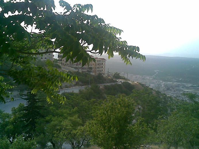
Qah
Qah (Arabic: قاح, also spelled Kah) is a village in northern Syria, administratively part of the Idlib Governorate, located north of Idlib and just east of the border with Turkey. Nearby localities include Atme to the west, Jindires to the north, De..
Qah Wikipedia Page
About Our Data
The data on this page is estimated using a number of publicly available tools and resources. It is provided without warranty, and could contain inaccuracies. Use at your own risk.