Shaizar Facts
| Local Time | |
| Timezone | GMT+03:00 |
| Lat & Lng | 35.26301, 36.56200 |
Map of Shaizar
Interactive Map
Recent Nearby Earthquakes
Magnitude 3.0 and greater
| Date▼ | Time↕ | Magnitude↕ | Distance↕ | Depth↕ | Location↕ | Link |
|---|---|---|---|---|---|---|
| 9/22/14 | 7:25 AM | 4.1 | 88.2 km | 10,000 m | 22km SW of Latakia, Syria | usgs.gov |
| 6/17/09 | 4:29 AM | 5 | 99.9 km | 10,400 m | Turkey-Syria border region | usgs.gov |
| 2/21/06 | 12:40 AM | 3.7 | 93.9 km | 24,000 m | near the coast of Syria | usgs.gov |
| 2/25/04 | 5:43 PM | 3.2 | 96.8 km | 12,000 m | near the coast of Syria | usgs.gov |
| 2/26/03 | 3:08 AM | 4.4 | 71.5 km | 33,000 m | Syria | usgs.gov |
| 11/22/02 | 1:34 AM | 3.9 | 72.3 km | 13,000 m | Syria | usgs.gov |
| 9/8/02 | 7:57 PM | 4.2 | 61 km | 9,800 m | Syria | usgs.gov |
| 9/11/94 | 11:33 PM | 3.6 | 76.9 km | 10,000 m | Syria | usgs.gov |
| 8/21/94 | 2:42 PM | 4.1 | 99.6 km | 10,000 m | near the coast of Syria | usgs.gov |
| 2/26/92 | 2:05 AM | 3.2 | 43.2 km | 10,000 m | Syria | usgs.gov |
Source: U.S. Geological Survey (USGS)
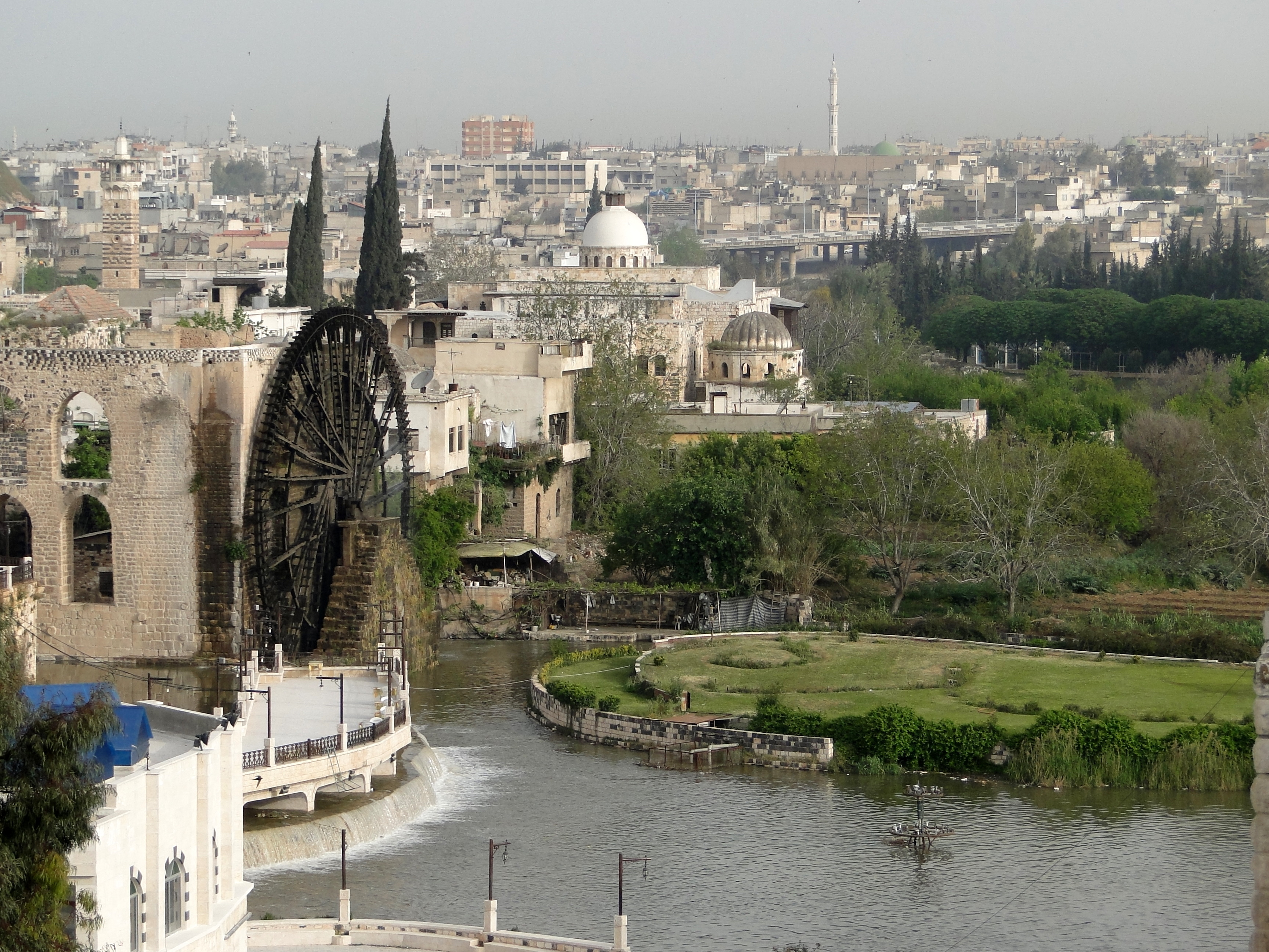
Shaizar
Shaizar (Arabic: شيزر; also called Saijar or Larissa in Syria) is a town in northern Syria, administratively part of the Hama Governorate, located northwest of Hama. Nearby localities include, Mahardah, Tremseh, Kafr Hud, Khunayzir and Halfaya. Acco..
Shaizar Wikipedia Page


About Our Data
The data on this page is estimated using a number of publicly available tools and resources. It is provided without warranty, and could contain inaccuracies. Use at your own risk.