Ban Don Facts
| Local Time | |
| Timezone | Indochina Time |
| Lat & Lng | 18.83150, 100.44928 |
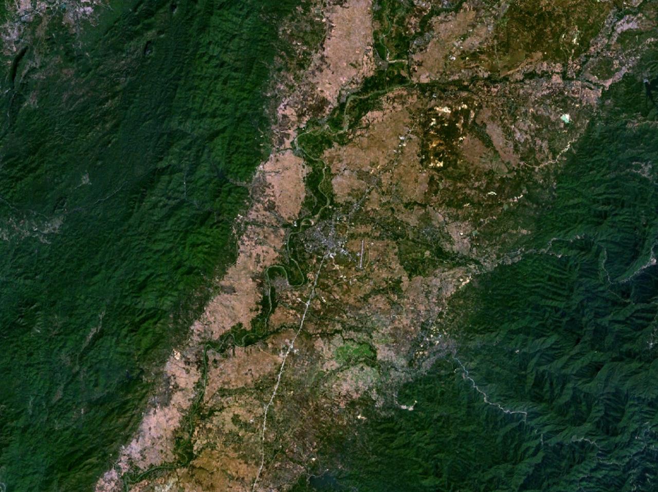
Map of Ban Don
Interactive Map
Recent Nearby Earthquakes
Magnitude 3.0 and greater
| Date▼ | Time↕ | Magnitude↕ | Distance↕ | Depth↕ | Location↕ | Link |
|---|---|---|---|---|---|---|
| 2/20/19 | 9:05 AM | 4.6 | 96.6 km | 10,000 m | 5km N of Wang Nuea, Thailand | usgs.gov |
| 3/27/04 | 4:05 AM | 3.8 | 52.6 km | 13,400 m | Thailand | usgs.gov |
| 11/11/01 | 11:38 AM | 4.4 | 96.5 km | 33,000 m | Thailand | usgs.gov |
| 12/9/95 | 1:25 PM | 4.7 | 50.6 km | 10,000 m | Thailand | usgs.gov |
| 7/24/88 | 9:51 PM | 4.2 | 50.3 km | 33,000 m | Thailand-Laos border region | usgs.gov |
Source: U.S. Geological Survey (USGS)


About Our Data
The data on this page is estimated using a number of publicly available tools and resources. It is provided without warranty, and could contain inaccuracies. Use at your own risk.