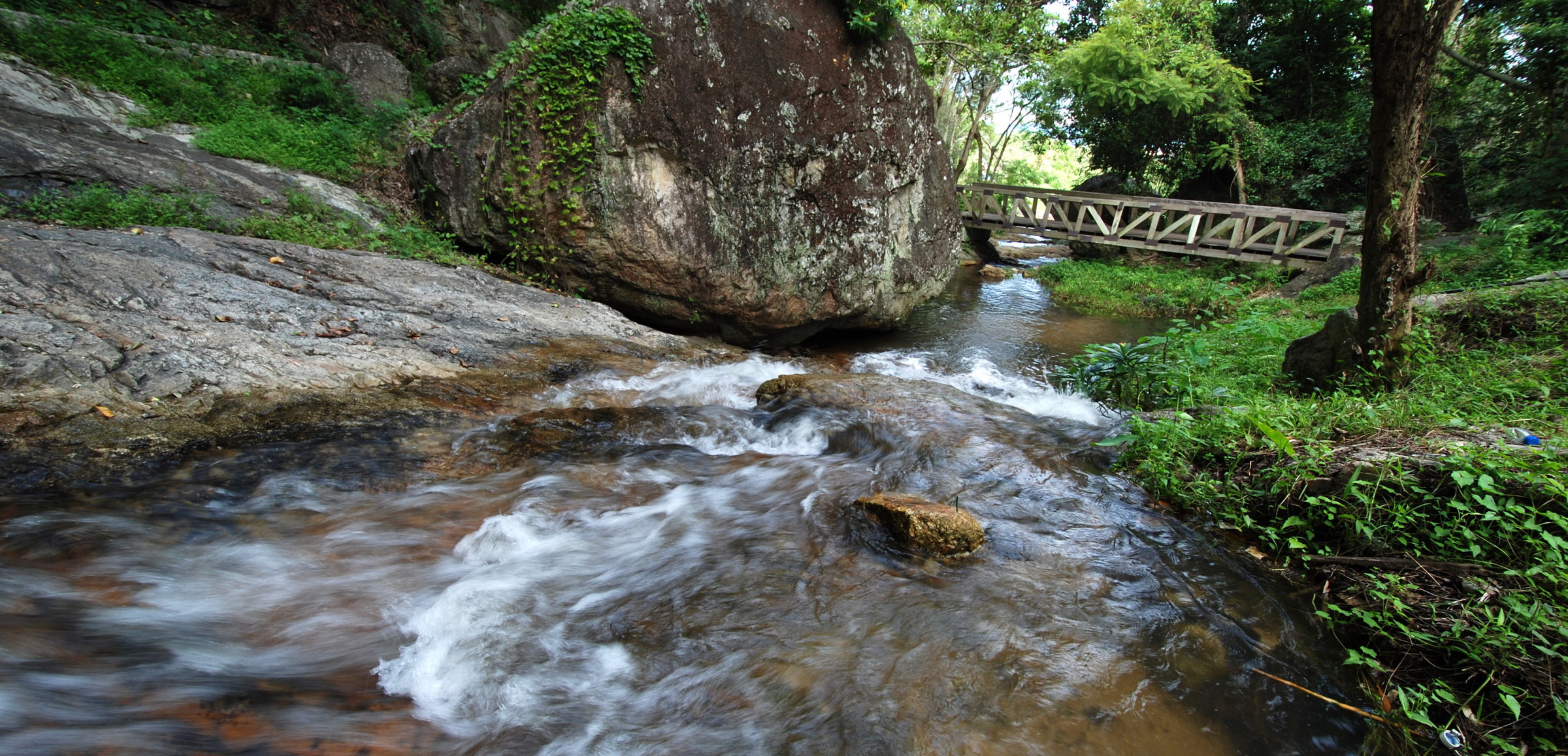
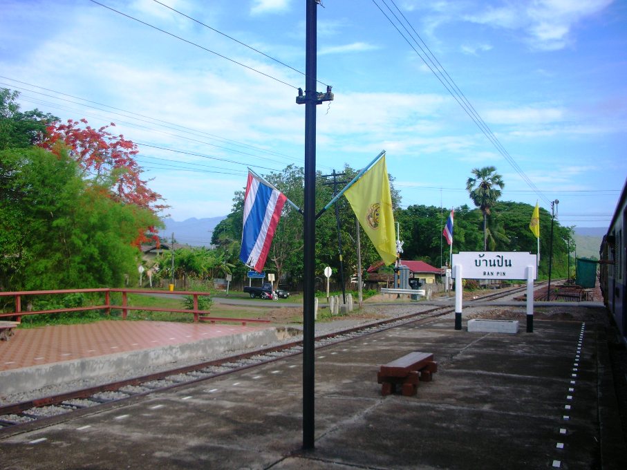
Categories in Ko Kha
AutomotiveCar repairCar wash and detailGas stationMotorcycle repairNew car dealersAgricultural wholesaleManufacture of food, beverage and tobaccoTractors and farm equipmentWholesale of construction suppliesWholesale of electronicsWholesale of food, beverages and tobaccoWholesale of machineryWholesalersClothing accessoriesClothing storesMobile phone storesBuddhist templeMilitaryOther membership organizationsPolice and law enforcementPost officePublic administrationReligionElectronics storesConstruction of buildingsConstruction of housesElectrical installationHardware storeOther constructionEducationEducation otherHigher education (colleges and universities)Preschools and kindergartensDance clubs and discothequesMuseumsStadiums and arenasAll food and beverageAmerican restaurantsBakeriesBars, pubs and tavernsButcherCafesCandy storesFruits and vegetablesGrocery stores and supermarketsRestaurantsThai restaurantsWineryBeauty aidsFurniture storesHousehold appliances and goodsNurseries and garden suppliesRepair otherAtm'sBanksFinance otherLoan companiesCemeteries and crematoriumsDentistsHealth and medicalHospitalsMedical clinicPharmacies and drug storesBeauty salonsFitness centersHairdressersBook stores and newsstandsConvenience storesDepartment storesFarm and ranchFloristsGifts, cards and party suppliesShoppingShopping otherPublic swimming poolsBuses and trainsFreight forwardingHoliday homes, cabins and resortsHotels and motelsOther accommodationTravel agenciesTravel and transportationUnreachable
Industries
Business Distribution by Industry in Ko Kha
| Industry Description | Number of Establishments | Average Google Rating |
|---|---|---|
| Religion | 10 | — |
| Restaurants | 7 | 4.2 |
| Thai restaurants | 7 | 4.2 |
Ko Kha Facts
| Area | 26.9 km² |
| Population | 17,603 |
| Male Population | 8,705 (49.5%) |
| Female Population | 8,898 (50.5%) |
| Population change (1975 to 2020) | +6.3% |
| Population change (2000 to 2020) | -14.3% |
| Median Age | 38.4 years (Male: 37.2, Female: 39.5) |
| Neighborhoods | เกาะคา, Tambon Ko Kha, Tambon Tha Pha, Tambon Wiang Tan, Tambon Wang Phrao |
| Local Time | |
| Timezone | Indochina Time |
| Lat & Lng | 18.19225, 99.39433 |
| Postal Codes | 52130 |
Map of Ko Kha
Interactive Map
Ko Kha Population
Years 1975 to 2020
| Data | 1975 | 1990 | 2000 | 2015 | 2020 |
|---|---|---|---|---|---|
| Population | 16,557 | 20,793 | 20,532 | 17,014 | 17,603 |
| Population Density | 614.6 / km² | 771.9 / km² | 762.2 / km² | 631.6 / km² | 653.5 / km² |
Sources: JRC (European Commission's Joint Research Centre) work on the GHS built-up grid
Ko Kha Population change from 2000 to 2015
Decrease of 17.1% from year 2000 to 2015
| Location | Change since 1975 | Change since 1990 | Change since 2000 |
|---|---|---|---|
| Ko Kha | +2.8% | -18.2% | -17.1% |
| Lampang Province | +9% | -11.5% | -12.5% |
| Thailand | +60.4% | +20.1% | +8.3% |
Sources: JRC (European Commission's Joint Research Centre) work on the GHS built-up grid
Ko Kha Median Age
Median Age: 38.4 years
| Location | Median Age | Median Age (Female) | Median Age (Male) |
|---|---|---|---|
| Ko Kha | 38.4 yrs | 39.5 yrs | 37.2 yrs |
| Lampang Province | 38.4 yrs | 39.5 yrs | 37.2 yrs |
| Thailand | 35.2 yrs | 36 yrs | 34.3 yrs |
Sources: CIESIN (Center for International Earth Science Information Network)
Ko Kha Population Density
Population Density: 654 / km²
| Location | Population | Area | Density |
|---|---|---|---|
| Ko Kha | 17,603 | 26.9 km² | 654 / km² |
| Lampang Province | 686,449 | 12,521.5 km² | 54.8 / km² |
| Thailand | 67.6 million | 514,961.7 km² | 131 / km² |
Sources: JRC (European Commission's Joint Research Centre) work on the GHS built-up grid
Ko Kha Historical and Projected Population
Estimated Population from 1750 to 2100
Sources:
- JRC (European Commission's Joint Research Centre) work on the GHS built-up grid
- CIESIN (Center for International Earth Science Information Network)
- [Link] Klein Goldewijk, K., Beusen, A., Doelman, J., and Stehfest, E.: Anthropogenic land use estimates for the Holocene – HYDE 3.2, Earth Syst. Sci. Data, 9, 927–953, https://doi.org/10.5194/essd-9-927-2017, 2017.
Neighborhoods in Ko Kha
Percentage of businesses by neighborhood in Ko Kha
Price Distribution
Business distribution by price for Ko Kha
Human Development Index (HDI)
Statistic composite index of life expectancy, education, and per capita income.
Source: [Link] Kummu, M., Taka, M. &Guillaume, J. Gridded global datasets for Gross Domestic Product and Human Development Index over 1990–2015. Sci Data 5, 180004 (2018) doi:10.1038/sdata.2018.4
Ko Kha CO2 Emissions
Carbon Dioxide (CO2) Emissions Per Capita in Tonnes Per Year
| Location | CO2 Emissions | CO2 Emissions Per Capita | CO2 Emissions Intensity |
|---|---|---|---|
| Ko Kha | 75,927 tn | 4.31 tn | 2,818.6 tons/km² |
| Lampang Province | 2,859,496 tn | 4.17 tn | 228.4 tons/km² |
| Thailand | 278,589,420 tn | 4.12 tn | 541 tons/km² |
Sources: [Link] Moran, D., Kanemoto K; Jiborn, M., Wood, R., Többen, J., and Seto, K.C. (2018) Carbon footprints of 13,000 cities. Environmental Research Letters DOI: 10.1088/1748-9326/aac72a
Ko Kha CO2 Emissions
| 2013 CO2 emissions (tonnes/year) | 75,927 tn |
| 2013 CO2 emissions (tonnes/year) per capita | 4.31 tn |
| 2013 CO2 emissions intensity (tonnes/km²/year) | 2,818.6 tons/km² |
Natural Hazards Risk
Relative risk out of 10
| Hazard | Risk Level |
|---|---|
| Drought | High (9) |
| Flood | Medium (7) |
* Risk, particularly concerning flood or landslide, may not be for the entire area.
Sources:
- Dilley, M., R.S. Chen, U. Deichmann, A.L. Lerner-Lam, M. Arnold, J. Agwe, P. Buys, O. Kjekstad, B. Lyon, and G. Yetman. 2005. Natural Disaster Hotspots: A Global Risk Analysis. Washington, D.C.: World Bank. https://doi.org/10.1596/0-8213-5930-4.
- Center for Hazards and Risk Research - CHRR - Columbia University, Center for International Earth Science Information Network - CIESIN - Columbia University, and International Research Institute for Climate and Society - IRI - Columbia University. 2005. Global Drought Hazard Frequency and Distribution. Palisades, NY: NASA Socioeconomic Data and Applications Center (SEDAC). https://doi.org/10.7927/H4VX0DFT.
- Center for Hazards and Risk Research - CHRR - Columbia University, Center for International Earth Science Information Network - CIESIN - Columbia University. 2005. Global Flood Hazard Frequency and Distribution. Palisades, NY: NASA Socioeconomic Data and Applications Center (SEDAC). https://doi.org/10.7927/H4668B3D.
Recent Nearby Earthquakes
Magnitude 3.0 and greater
| Date▼ | Time↕ | Magnitude↕ | Distance↕ | Depth↕ | Location↕ | Link |
|---|---|---|---|---|---|---|
| 12/12/06 | 5:02 PM | 4.6 | 93.3 km | 9,600 m | Thailand | usgs.gov |
| 5/7/94 | 7:55 PM | 3.6 | 28.7 km | 33,000 m | Thailand | usgs.gov |
| 2/18/88 | 6:38 PM | 4.2 | 78.6 km | 5,000 m | Thailand | usgs.gov |
Source: U.S. Geological Survey (USGS)

About Our Data
The data on this page is estimated using a number of publicly available tools and resources. It is provided without warranty, and could contain inaccuracies. Use at your own risk.