Categories in Phanom District
Industries
Business Distribution by Industry in Phanom District
| Industry Description | Number of Establishments | Average Google Rating |
|---|---|---|
| Restaurants | 24 | 4.4 |
| Sports and recreation | 18 | — |
| Religion | 13 | 4.2 |
| Education | 13 | 3.8 |
| Cafes | 10 | — |
| Hotels and motels | 10 | 4.5 |
| American restaurants | 9 | — |
| Convenience stores | 9 | — |
| Grocery stores and supermarkets | 8 | 4.3 |
| Thai restaurants | 7 | 4.5 |
| Holiday homes, cabins and resorts | 7 | 4.2 |
| Shopping | 6 | 3.9 |
| Other accommodation | 5 | 4.6 |
| Pharmacies and drug stores | 5 | 4 |
| Banks | 5 | 3 |
Phanom District Facts
| Area | 17.6 km² |
| Population | 11,235 |
| Male Population | 5,549 (49.4%) |
| Female Population | 5,686 (50.6%) |
| Population change (1975 to 2020) | +110.9% |
| Population change (2000 to 2020) | +6.7% |
| Median Age | 32.4 years (Male: 31.6, Female: 33.2) |
| Neighborhoods | Phanom, Tambon Phanom, Tambon Khlong Sok, Klongsok, Tambon Bang Nai Si |
| Local Time | |
| Timezone | Indochina Time |
| Lat & Lng | 8.85475, 98.81267 |
| Postal Codes | 84250 |
Map of Phanom District
Interactive Map
Phanom District Population
Years 1975 to 2020
| Data | 1975 | 1990 | 2000 | 2015 | 2020 |
|---|---|---|---|---|---|
| Population | 5,326 | 8,579 | 10,533 | 11,115 | 11,235 |
| Population Density | 303.3 / km² | 488.5 / km² | 599.7 / km² | 632.9 / km² | 639.7 / km² |
Phanom District Population change from 2000 to 2015
Increase of 5.5% from year 2000 to 2015
| Location | Change since 1975 | Change since 1990 | Change since 2000 |
|---|---|---|---|
| Phanom District | +108.7% | +29.6% | +5.5% |
| Surat Thani Province | +141% | +45.2% | +17.9% |
| Thailand | +60.4% | +20.1% | +8.3% |
Phanom District Median Age
Median Age: 32.4 years
| Location | Median Age | Median Age (Female) | Median Age (Male) |
|---|---|---|---|
| Phanom District | 32.4 yrs | 33.2 yrs | 31.6 yrs |
| Surat Thani Province | 32.4 yrs | 33.2 yrs | 31.6 yrs |
| Thailand | 35.2 yrs | 36 yrs | 34.3 yrs |
Phanom District Population Density
Population Density: 640 / km²
| Location | Population | Area | Density |
|---|---|---|---|
| Phanom District | 11,235 | 17.6 km² | 640 / km² |
| Surat Thani Province | 1.1 million | 13,447.3 km² | 78.3 / km² |
| Thailand | 67.6 million | 514,961.7 km² | 131 / km² |
Phanom District Historical and Projected Population
Estimated Population from 1300 to 2100
- JRC (European Commission's Joint Research Centre) work on the GHS built-up grid
- CIESIN (Center for International Earth Science Information Network)
- [Link] Klein Goldewijk, K., Beusen, A., Doelman, J., and Stehfest, E.: Anthropogenic land use estimates for the Holocene – HYDE 3.2, Earth Syst. Sci. Data, 9, 927–953, https://doi.org/10.5194/essd-9-927-2017, 2017.
Neighborhoods in Phanom District
Percentage of businesses by neighborhood in Phanom District
Postal Codes
Percentage of businesses by Postal Codes in Phanom District
Price Distribution
Business distribution by price for Phanom District
Human Development Index (HDI)
Statistic composite index of life expectancy, education, and per capita income.
Phanom District CO2 Emissions
Carbon Dioxide (CO2) Emissions Per Capita in Tonnes Per Year
| Location | CO2 Emissions | CO2 Emissions Per Capita | CO2 Emissions Intensity |
|---|---|---|---|
| Phanom District | 58,575 tn | 5.21 tn | 3,335.2 tons/km² |
| Surat Thani Province | 5,374,475 tn | 5.1 tn | 399.7 tons/km² |
| Thailand | 278,589,420 tn | 4.12 tn | 541 tons/km² |
| 2013 CO2 emissions (tonnes/year) | 58,575 tn |
| 2013 CO2 emissions (tonnes/year) per capita | 5.21 tn |
| 2013 CO2 emissions intensity (tonnes/km²/year) | 3,335.2 tons/km² |
Natural Hazards Risk
Relative risk out of 10
| Hazard | Risk Level |
|---|---|
| Flood | Medium (7) |
| Earthquake | Low (2) |
| Landslide | Medium (6) |
* Risk, particularly concerning flood or landslide, may not be for the entire area.
- Dilley, M., R.S. Chen, U. Deichmann, A.L. Lerner-Lam, M. Arnold, J. Agwe, P. Buys, O. Kjekstad, B. Lyon, and G. Yetman. 2005. Natural Disaster Hotspots: A Global Risk Analysis. Washington, D.C.: World Bank. https://doi.org/10.1596/0-8213-5930-4.
- Center for Hazards and Risk Research - CHRR - Columbia University, Center for International Earth Science Information Network - CIESIN - Columbia University, and Norwegian Geotechnical Institute - NGI. 2005. Global Landslide Hazard Distribution. Palisades, NY: NASA Socioeconomic Data and Applications Center (SEDAC). https://doi.org/10.7927/H4P848VZ.
- Center for Hazards and Risk Research - CHRR - Columbia University, Center for International Earth Science Information Network - CIESIN - Columbia University. 2005. Global Flood Hazard Frequency and Distribution. Palisades, NY: NASA Socioeconomic Data and Applications Center (SEDAC). https://doi.org/10.7927/H4668B3D.
- Center for Hazards and Risk Research - CHRR - Columbia University, Center for International Earth Science Information Network - CIESIN - Columbia University. 2005. Global Earthquake Hazard Distribution - Peak Ground Acceleration. Palisades, NY: NASA Socioeconomic Data and Applications Center (SEDAC). https://doi.org/10.7927/H4BZ63ZS.
Recent Nearby Earthquakes
Magnitude 3.0 and greater
| Date▼ | Time↕ | Magnitude↕ | Distance↕ | Depth↕ | Location↕ | Link |
|---|---|---|---|---|---|---|
| 4/16/12 | 9:44 AM | 3.9 | 91.4 km | 10,000 m | Malay Peninsula, Thailand | usgs.gov |
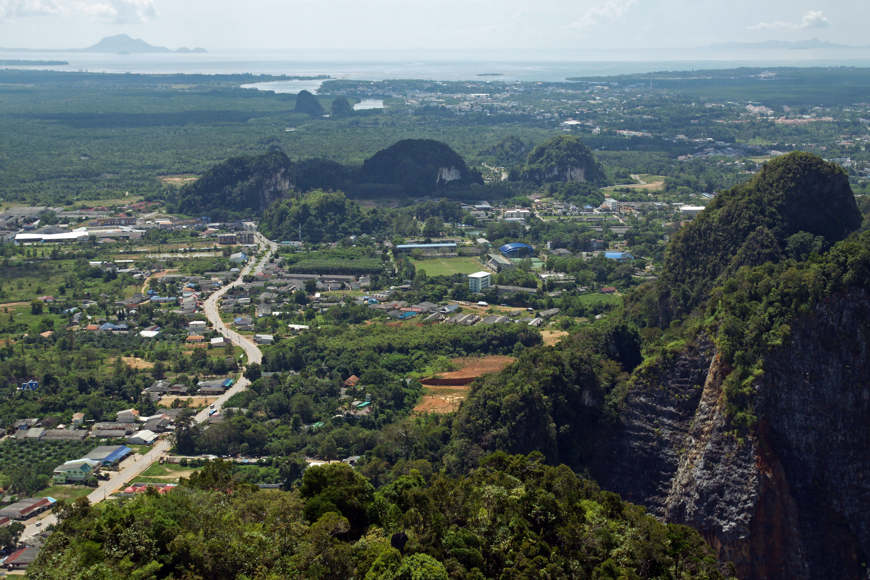
Phanom District
Phanom (Thai: พนม) is a district (Amphoe) in the southwest of Surat Thani Province of southern Thailand.
Phanom District Wikipedia Page


About Our Data
The data on this page is estimated using a number of publicly available tools and resources. It is provided without warranty, and could contain inaccuracies. Use at your own risk.