Santikhiri Facts
| Local Time | |
| Timezone | Indochina Time |
| Lat & Lng | 20.16083, 99.62297 |
Map of Santikhiri
Interactive Map
Price Distribution
Business distribution by price for Santikhiri
Recent Nearby Earthquakes
Magnitude 3.0 and greater
| Date▼ | Time↕ | Magnitude↕ | Distance↕ | Depth↕ | Location↕ | Link |
|---|---|---|---|---|---|---|
| 2/3/18 | 3:29 PM | 4.6 | 49.3 km | 10,000 m | 40km WNW of Mae Sai, Thailand | usgs.gov |
| 4/18/17 | 9:13 AM | 4.7 | 82.2 km | 9,870 m | 42km NE of Mae Sai, Thailand | usgs.gov |
| 5/24/15 | 6:27 AM | 4.6 | 78.3 km | 10,000 m | 60km NW of Mae Ai, Thailand | usgs.gov |
| 8/24/14 | 10:32 PM | 4.5 | 67 km | 20,440 m | 13km SW of Mae Suai, Thailand | usgs.gov |
| 6/9/14 | 12:59 PM | 4.4 | 55.1 km | 10,000 m | 15km NNE of Mae Sai, Thailand | usgs.gov |
| 5/12/14 | 11:05 AM | 4.3 | 55.5 km | 10,000 m | 12km NNW of Phan, Thailand | usgs.gov |
| 5/9/14 | 7:12 AM | 4.1 | 64.1 km | 10,000 m | 13km WSW of Mae Suai, Thailand | usgs.gov |
| 5/8/14 | 8:43 PM | 4.1 | 49.3 km | 10,000 m | Thailand | usgs.gov |
| 5/7/14 | 9:38 AM | 4.5 | 56.2 km | 10,000 m | 4km E of Mae Suai, Thailand | usgs.gov |
| 5/6/14 | 8:52 PM | 4.2 | 59.2 km | 10,000 m | 3km SSE of Mae Suai, Thailand | usgs.gov |
Source: U.S. Geological Survey (USGS)
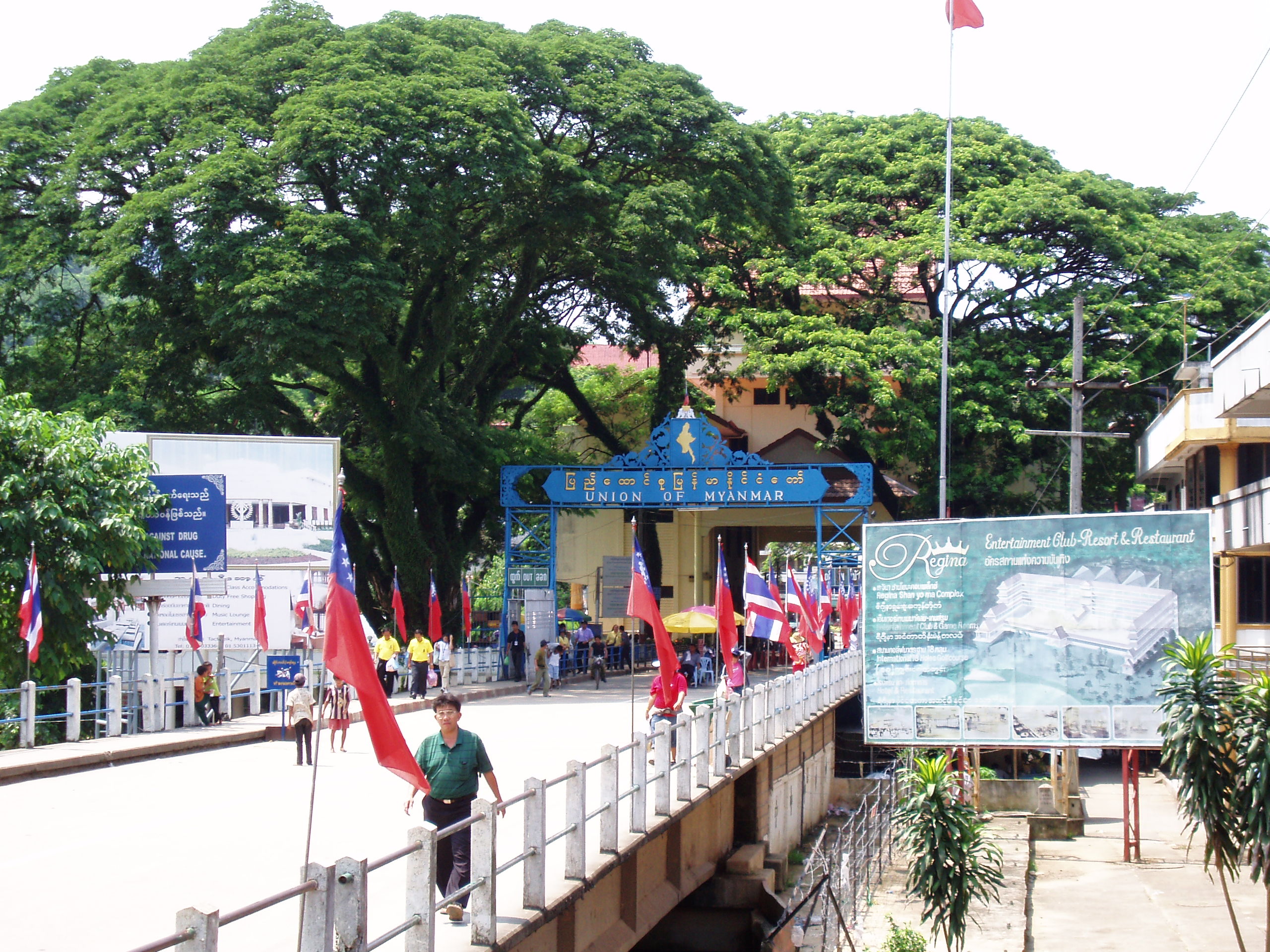
Santikhiri
The village of Santikhiri (Thai: สันติคีรี), formerly known as Mae Salong (Thai: แม่สลอง), is in the Thai highlands on Doi Mae Salong mountain of the Daen Lao Range, in Mae Fa Luang District, Chiang Rai Province, the northernmost province of Thailand..
Santikhiri Wikipedia Page


About Our Data
The data on this page is estimated using a number of publicly available tools and resources. It is provided without warranty, and could contain inaccuracies. Use at your own risk.