Wang Phang Facts
| Neighborhoods | ตำบลวังผาง |
| Local Time | |
| Timezone | Indochina Time |
| Lat & Lng | 18.43292, 98.75853 |
Map of Wang Phang
Interactive Map
Price Distribution
Business distribution by price for Wang Phang
Recent Nearby Earthquakes
Magnitude 3.0 and greater
| Date▼ | Time↕ | Magnitude↕ | Distance↕ | Depth↕ | Location↕ | Link |
|---|---|---|---|---|---|---|
| 10/10/13 | 6:19 PM | 4.2 | 74.4 km | 34,600 m | 7km SE of Mae Taeng, Thailand | usgs.gov |
| 12/12/06 | 5:02 PM | 4.6 | 54.4 km | 9,600 m | Thailand | usgs.gov |
| 12/18/02 | 1:47 PM | 4.3 | 86.1 km | 40,200 m | Thailand | usgs.gov |
| 5/7/94 | 7:55 PM | 3.6 | 45 km | 33,000 m | Thailand | usgs.gov |
| 2/18/88 | 6:38 PM | 4.2 | 64.8 km | 5,000 m | Thailand | usgs.gov |
| 5/25/78 | 11:22 PM | 4.8 | 99.1 km | 8,000 m | Thailand | usgs.gov |
Source: U.S. Geological Survey (USGS)
Wang Phang
Wang Phang (Thai: วังผาง) is a village and tambon (subdistrict) of Wiang Nong Long District, in Lamphun Province, Thailand.In 2005 it had a total population of 8436 people. The tambon contains 10 villages.
Wang Phang Wikipedia Page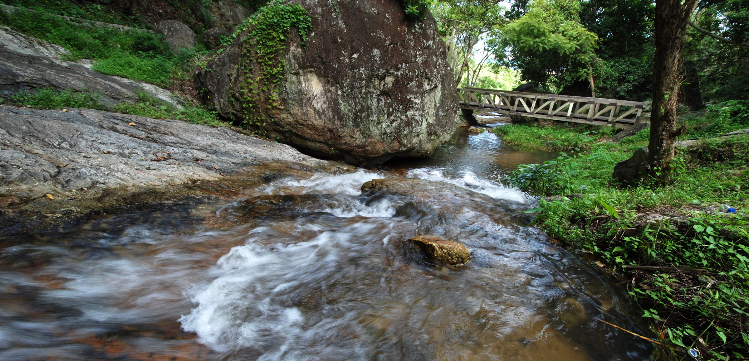

About Our Data
The data on this page is estimated using a number of publicly available tools and resources. It is provided without warranty, and could contain inaccuracies. Use at your own risk.