Industries
Business Distribution by Industry in Beycuma
| Industry Description | Number of Establishments | Average Google Rating |
|---|---|---|
| Construction of houses | 7 | 3 |
| Hospitals | 6 | — |
Beycuma Facts
| Neighborhoods | Merkez Mah., Karakol Mevki, Köprübaşı Mevki, Mithatpaşa Mahallesi |
| Local Time | |
| Timezone | Türkiye Standard Time |
| Lat & Lng | 41.32812, 31.96811 |
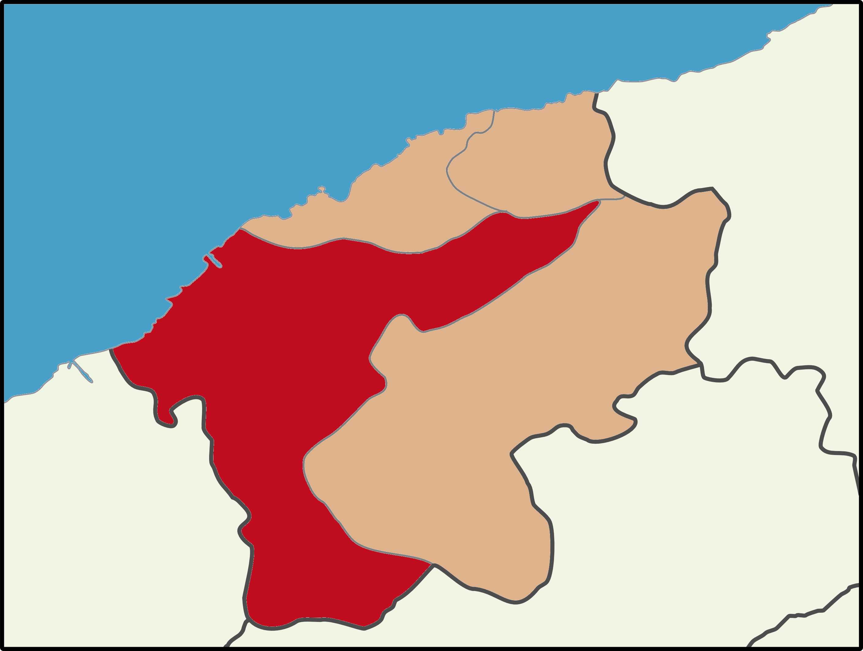
Map of Beycuma
Interactive Map
Recent Nearby Earthquakes
Magnitude 3.0 and greater
| Date▼ | Time↕ | Magnitude↕ | Distance↕ | Depth↕ | Location↕ | Link |
|---|---|---|---|---|---|---|
| 4/7/18 | 9:16 PM | 4.7 | 60.9 km | 10,000 m | 12km N of Bolu, Turkey | usgs.gov |
| 5/2/15 | 12:45 PM | 4.1 | 65.4 km | 5,000 m | 7km W of Gozyeri, Turkey | usgs.gov |
| 9/4/14 | 3:53 AM | 4.5 | 57.4 km | 4,500 m | 12km WNW of Ulus, Turkey | usgs.gov |
| 11/24/13 | 8:49 PM | 5.1 | 57 km | 5,990 m | 14km WNW of Yenicaga, Turkey | usgs.gov |
| 7/24/13 | 12:59 PM | 4 | 57.7 km | 5,000 m | 8km SE of Amasra, Turkey | usgs.gov |
| 11/12/08 | 7:10 PM | 3.4 | 60.9 km | 5,000 m | western Turkey | usgs.gov |
| 11/12/08 | 2:25 PM | 3.7 | 75 km | 6,400 m | western Turkey | usgs.gov |
| 11/12/08 | 11:57 AM | 4 | 60.5 km | 7,200 m | western Turkey | usgs.gov |
| 3/19/07 | 10:27 AM | 3 | 61.8 km | 8,500 m | western Turkey | usgs.gov |
| 12/24/06 | 8:34 AM | 3 | 71 km | 7,000 m | western Turkey | usgs.gov |
Source: U.S. Geological Survey (USGS)
Beycuma
Beycuma is a belde (town) in the central district of Zonguldak Province, Turkey. It is situated at 41°20′N 31°58′E in the mountainous area at the south of Zonguldak. The distance to state highway is 7 kilometres (4.3 mi) and to Zonguldak is 29 kilo..
Beycuma Wikipedia Page

About Our Data
The data on this page is estimated using a number of publicly available tools and resources. It is provided without warranty, and could contain inaccuracies. Use at your own risk.