Santilya Facts
| Local Time | |
| Timezone | East Africa Time |
| Lat & Lng | -9.10000, 33.35000 |
Map of Santilya
Interactive Map
Recent Nearby Earthquakes
Magnitude 3.0 and greater
| Date▼ | Time↕ | Magnitude↕ | Distance↕ | Depth↕ | Location↕ | Link |
|---|---|---|---|---|---|---|
| 2/2/19 | 7:29 AM | 4.3 | 92.7 km | 10,000 m | 54km NW of Mlowo, Tanzania | usgs.gov |
| 9/25/11 | 5:50 AM | 4.1 | 60.3 km | 10,000 m | Lake Malawi region | usgs.gov |
| 10/29/10 | 10:55 PM | 4.2 | 84 km | 27,000 m | Malawi | usgs.gov |
| 3/6/10 | 8:00 PM | 4.6 | 91.4 km | 10,000 m | Lake Rukwa region, Tanzania | usgs.gov |
| 8/17/01 | 2:10 AM | 4.6 | 31.7 km | 10,000 m | Lake Malawi region | usgs.gov |
| 4/28/00 | 6:54 PM | 4.3 | 49.8 km | 10,000 m | Lake Malawi region | usgs.gov |
| 8/2/96 | 9:49 AM | 4.1 | 61.1 km | 10,000 m | Tanzania | usgs.gov |
| 11/16/94 | 1:08 AM | 4.4 | 36.7 km | 10,000 m | Lake Malawi region | usgs.gov |
| 1/12/88 | 11:40 AM | 4.7 | 89.2 km | 10,000 m | Lake Rukwa region, Tanzania | usgs.gov |
| 9/3/85 | 4:42 PM | 5.1 | 64.5 km | 33,000 m | Lake Rukwa region, Tanzania | usgs.gov |
Source: U.S. Geological Survey (USGS)
Santilya
Santilya is an administrative ward in the Mbeya Rural district of the Mbeya Region of Tanzania. According to the 2002 census, the ward has a total population of 15,271.
Santilya Wikipedia Page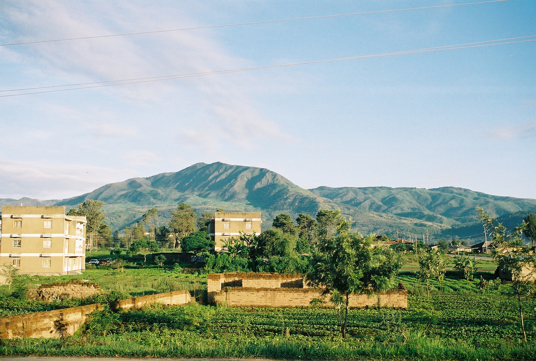

About Our Data
The data on this page is estimated using a number of publicly available tools and resources. It is provided without warranty, and could contain inaccuracies. Use at your own risk.