Categories in Bayside, California
Map of Bayside, California
Interactive Map
Price Distribution
Business distribution by price for Bayside, California
Recent Nearby Earthquakes
Magnitude 3.0 and greater
| Date▼ | Time↕ | Magnitude↕ | Distance↕ | Depth↕ | Location↕ | Link |
|---|---|---|---|---|---|---|
| 5/21/19 | 5:19 PM | 3.78 | 18.4 km | 21,450 m | 16km ESE of Pine Hills, CA | usgs.gov |
| 2/6/19 | 6:23 PM | 4.39 | 18.9 km | 25,830 m | 13km ESE of Blue Lake, CA | usgs.gov |
| 2/4/19 | 6:19 PM | 3.05 | 12.5 km | 7,900 m | 5km E of Pine Hills, CA | usgs.gov |
| 6/11/17 | 12:19 PM | 3.53 | 22.5 km | 22,860 m | 0km WSW of Westhaven-Moonstone, California | usgs.gov |
| 7/21/16 | 11:09 PM | 4.81 | 19.5 km | 26,240 m | 19km SSE of Blue Lake, CA | usgs.gov |
| 10/29/15 | 1:46 AM | 3.07 | 8.9 km | 24,850 m | 8km ESE of Bayside, California | usgs.gov |
| 10/21/12 | 8:40 PM | 3.55 | 12.7 km | 21,251 m | Northern California | usgs.gov |
| 4/22/11 | 1:32 AM | 3.25 | 9.7 km | 29,071 m | Northern California | usgs.gov |
| 10/18/10 | 3:21 PM | 3.43 | 15 km | 20,645 m | Northern California | usgs.gov |
| 8/21/10 | 9:02 PM | 3.18 | 20.5 km | 25,528 m | Northern California | usgs.gov |
Source: U.S. Geological Survey (USGS)
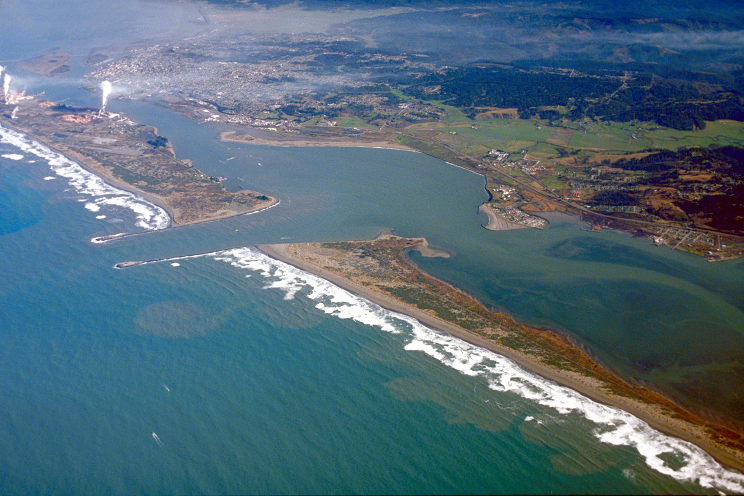
Bayside, California
is an unincorporated community 2.25 miles (3.6 km) south-southeast of Arcata, at an elevation of 33 feet (10 m) in Humboldt County, California. The ZIP Code is 95524, the area code is 707. The relatively large area was originally covered by large, ..
Bayside, California Wikipedia Page

About Our Data
The data on this page is estimated using a number of publicly available tools and resources. It is provided without warranty, and could contain inaccuracies. Use at your own risk.