Categories in Benton, Arkansas
Industries
Business Distribution by Industry in Benton, Arkansas
| Industry Description | Number of Establishments | Average Age of Business |
|---|---|---|
| Health and medical | 534 | 28 years |
| Restaurants | 199 | 30 years |
| Construction of buildings | 186 | 31 years |
| Real estate | 181 | 24 years |
| Shopping | 177 | 25 years |
| Religion | 156 | 48 years |
| Lawyers legal | 143 | 24 years |
| Car repair | 136 | 26 years |
| Automotive | 122 | 27 years |
| Other construction | 110 | 29 years |
| Financial services | 109 | 34 years |
| Physicians and surgeons | 99 | 28 years |
| Shopping other | 92 | 32 years |
| Beauty salons | 90 | 26 years |
| Finance other | 88 | 66 years |
| Social work | 87 | 29 years |
| Corporate management | 79 | 24 years |
Benton, Arkansas Facts
| Area | 23.0 mi² |
| Population | 35,383 |
| Male Population | 17,132 (48.4%) |
| Female Population | 18,251 (51.6%) |
| Population change (1975 to 2020) | +35.2% |
| Population change (2000 to 2020) | +49.7% |
| Median Age | 35.2 years (Male: 34, Female: 36.6) |
| Area Codes | 501 |
| Neighborhoods | Benton, Capitol View - Stifft Station, Downtown Little Rock, Heights, Midtown |
| Local Time | |
| Timezone | Central Daylight Time |
| Lat & Lng | 34.56454, -92.58683 |
| Zip Codes | 72015, 72018, 72019, 72158 |
Map of Benton, Arkansas
Interactive Map
Benton, Arkansas Population
Years 1975 to 2020
| Data | 1975 | 1990 | 2000 | 2015 | 2020 |
|---|---|---|---|---|---|
| Population | 26,177 | 24,031 | 23,637 | 33,910 | 35,383 |
| Population Density | 1,135.9 / mi² | 1,042.8 / mi² | 1,025.7 / mi² | 1,471.4 / mi² | 1,535.4 / mi² |
Benton, Arkansas Population change from 2000 to 2015
Increase of 43.5% from year 2000 to 2015
| Location | Change since 1975 | Change since 1990 | Change since 2000 |
|---|---|---|---|
| Benton, Arkansas | +29.5% | +41.1% | +43.5% |
| Arkansas | +40.4% | +25% | +12.9% |
| United States | +46.9% | +27.2% | +13.7% |
Benton, Arkansas Median Age
Median Age: 35.2 years
| Location | Median Age | Median Age (Female) | Median Age (Male) |
|---|---|---|---|
| Benton, Arkansas | 35.2 yrs | 36.6 yrs | 34 yrs |
| Arkansas | 37.6 yrs | 38.8 yrs | 36.3 yrs |
| United States | 37.4 yrs | 38.7 yrs | 36.1 yrs |
Benton, Arkansas Population Density
Population Density: 1,535 / mi²
| Location | Population | Area | Density |
|---|---|---|---|
| Benton, Arkansas | 35,383 | 23.05 sq mi | 1,535 / mi² |
| Arkansas | 3 million | 53,178.5 sq mi | 57.1 / mi² |
| United States | 321.6 million | 3,796,740.8 sq mi | 84.7 / mi² |
Benton, Arkansas Historical and Projected Population
Estimated Population from 1850 to 2100
- JRC (European Commission's Joint Research Centre) work on the GHS built-up grid
- CIESIN (Center for International Earth Science Information Network)
- [Link] Klein Goldewijk, K., Beusen, A., Doelman, J., and Stehfest, E.: Anthropogenic land use estimates for the Holocene – HYDE 3.2, Earth Syst. Sci. Data, 9, 927–953, https://doi.org/10.5194/essd-9-927-2017, 2017.
Neighborhoods in Benton, Arkansas
Percentage of businesses by neighborhood in Benton, Arkansas
Zip Codes
Percentage of businesses by Postal Codes in Benton, Arkansas
Price Distribution
Business distribution by price for Benton, Arkansas
Human Development Index (HDI)
Statistic composite index of life expectancy, education, and per capita income.
Benton, Arkansas CO2 Emissions
Carbon Dioxide (CO2) Emissions Per Capita in Tonnes Per Year
| Location | CO2 Emissions | CO2 Emissions Per Capita | CO2 Emissions Intensity |
|---|---|---|---|
| Benton, Arkansas | 624,240 tn | 17.64 tn | 27,087.3 tons/mi² |
| Arkansas | 51,735,446 tn | 17.05 tn | 972.9 tons/mi² |
| United States | 5,664,619,810 tn | 17.62 tn | 1,492 tons/mi² |
| 2013 CO2 emissions (tonnes/year) | 624,240 tn |
| 2013 CO2 emissions (tonnes/year) per capita | 17.64 tn |
| 2013 CO2 emissions intensity (tonnes/mi²/year) | 27,087.3 tons/mi² |
Natural Hazards Risk
Relative risk out of 10
| Hazard | Risk Level |
|---|---|
| Flood | High (9) |
| Earthquake | Low (2) |
* Risk, particularly concerning flood or landslide, may not be for the entire area.
- Dilley, M., R.S. Chen, U. Deichmann, A.L. Lerner-Lam, M. Arnold, J. Agwe, P. Buys, O. Kjekstad, B. Lyon, and G. Yetman. 2005. Natural Disaster Hotspots: A Global Risk Analysis. Washington, D.C.: World Bank. https://doi.org/10.1596/0-8213-5930-4.
- Center for Hazards and Risk Research - CHRR - Columbia University, Center for International Earth Science Information Network - CIESIN - Columbia University. 2005. Global Flood Hazard Frequency and Distribution. Palisades, NY: NASA Socioeconomic Data and Applications Center (SEDAC). https://doi.org/10.7927/H4668B3D.
- Center for Hazards and Risk Research - CHRR - Columbia University, Center for International Earth Science Information Network - CIESIN - Columbia University. 2005. Global Earthquake Hazard Distribution - Peak Ground Acceleration. Palisades, NY: NASA Socioeconomic Data and Applications Center (SEDAC). https://doi.org/10.7927/H4BZ63ZS.
Recent Nearby Earthquakes
Magnitude 3.0 and greater
| Date▼ | Time↕ | Magnitude↕ | Distance↕ | Depth↕ | Location↕ | Link |
|---|---|---|---|---|---|---|
| 5/24/13 | 5:44 AM | 3.4 | 82.2 km | 5,610 m | 16km N of Morrilton, Arkansas | usgs.gov |
| 5/22/13 | 5:19 PM | 3.4 | 82.3 km | 5,440 m | 16km N of Morrilton, Arkansas | usgs.gov |
| 8/19/12 | 8:24 AM | 3.3 | 77.3 km | 4,380 m | 0km NE of Greenbrier, Arkansas | usgs.gov |
| 10/5/11 | 9:38 AM | 3.3 | 93.6 km | 4,620 m | 18km NE of Greenbrier, Arkansas | usgs.gov |
| 5/7/11 | 1:08 PM | 3.1 | 78.4 km | 6,000 m | 1km NNE of Greenbrier, Arkansas | usgs.gov |
| 4/24/11 | 6:18 AM | 3.2 | 75.7 km | 5,410 m | 1km SE of Greenbrier, Arkansas | usgs.gov |
| 4/23/11 | 12:20 PM | 3.1 | 80.7 km | 5,180 m | 4km NE of Greenbrier, Arkansas | usgs.gov |
| 4/19/11 | 10:33 AM | 3.3 | 79.1 km | 3,420 m | 3km NE of Greenbrier, Arkansas | usgs.gov |
| 4/16/11 | 8:44 PM | 3 | 87.4 km | 2,800 m | 23km NNE of Morrilton, Arkansas | usgs.gov |
| 4/8/11 | 4:46 PM | 3.5 | 79.3 km | 6,120 m | 2km NNE of Greenbrier, Arkansas | usgs.gov |
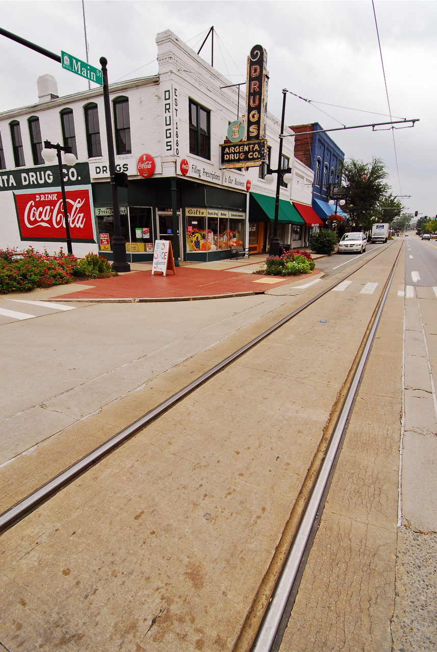
Benton, Arkansas
Benton is a city in and the county seat of Saline County, Arkansas, United States and a suburb of Little Rock. It was established in 1837. According to a 2006 Special Census conducted at the request of the city government, the population of the city ..
Benton, Arkansas Wikipedia Page


About Our Data
The data on this page is estimated using a number of publicly available tools and resources. It is provided without warranty, and could contain inaccuracies. Use at your own risk.