Boyd, Oregon Facts
| Local Time | |
| Timezone | Pacific Daylight Time |
| Lat & Lng | 45.48929, -121.08229 |
Map of Boyd, Oregon
Interactive Map
Recent Nearby Earthquakes
Magnitude 3.0 and greater
| Date▼ | Time↕ | Magnitude↕ | Distance↕ | Depth↕ | Location↕ | Link |
|---|---|---|---|---|---|---|
| 10/12/17 | 7:04 PM | 3.42 | 85.2 km | 12,910 m | 30km SW of Toppenish, Washington | usgs.gov |
| 12/30/10 | 9:17 AM | 3.6 | 41.5 km | 15,995 m | Oregon | usgs.gov |
| 6/17/10 | 2:23 PM | 4.2 | 73.7 km | 2,609 m | Washington | usgs.gov |
| 5/14/10 | 7:03 PM | 3 | 54.4 km | 3,743 m | Mount Hood area, Oregon | usgs.gov |
| 1/2/10 | 4:36 PM | 3.6 | 40.4 km | 14,468 m | Oregon | usgs.gov |
| 4/20/09 | 9:41 PM | 3.6 | 40.8 km | 15,328 m | Oregon | usgs.gov |
| 3/20/09 | 10:44 PM | 3 | 40.5 km | 13,958 m | Oregon | usgs.gov |
| 12/27/08 | 11:32 PM | 3.6 | 41.1 km | 15,488 m | Oregon | usgs.gov |
| 11/16/08 | 3:54 PM | 3.4 | 41.1 km | 13,178 m | Oregon | usgs.gov |
| 7/14/08 | 6:45 PM | 4.2 | 41.4 km | 16,378 m | Oregon | usgs.gov |
Source: U.S. Geological Survey (USGS)
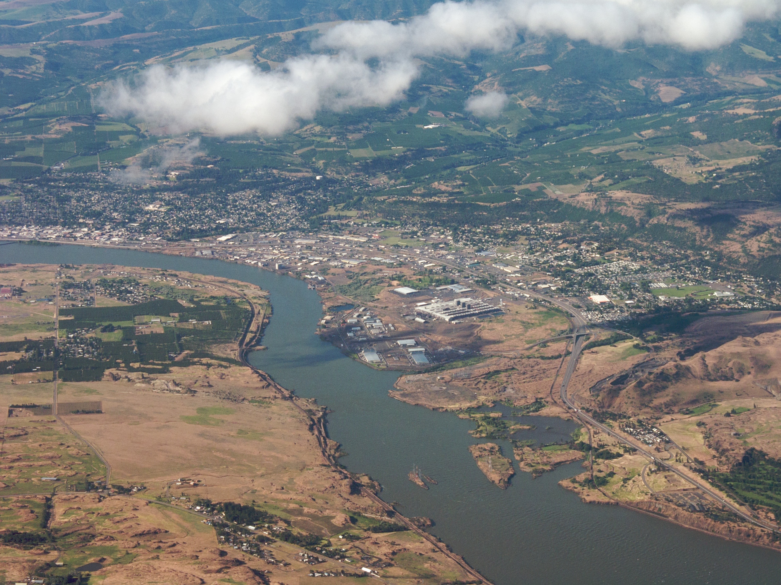
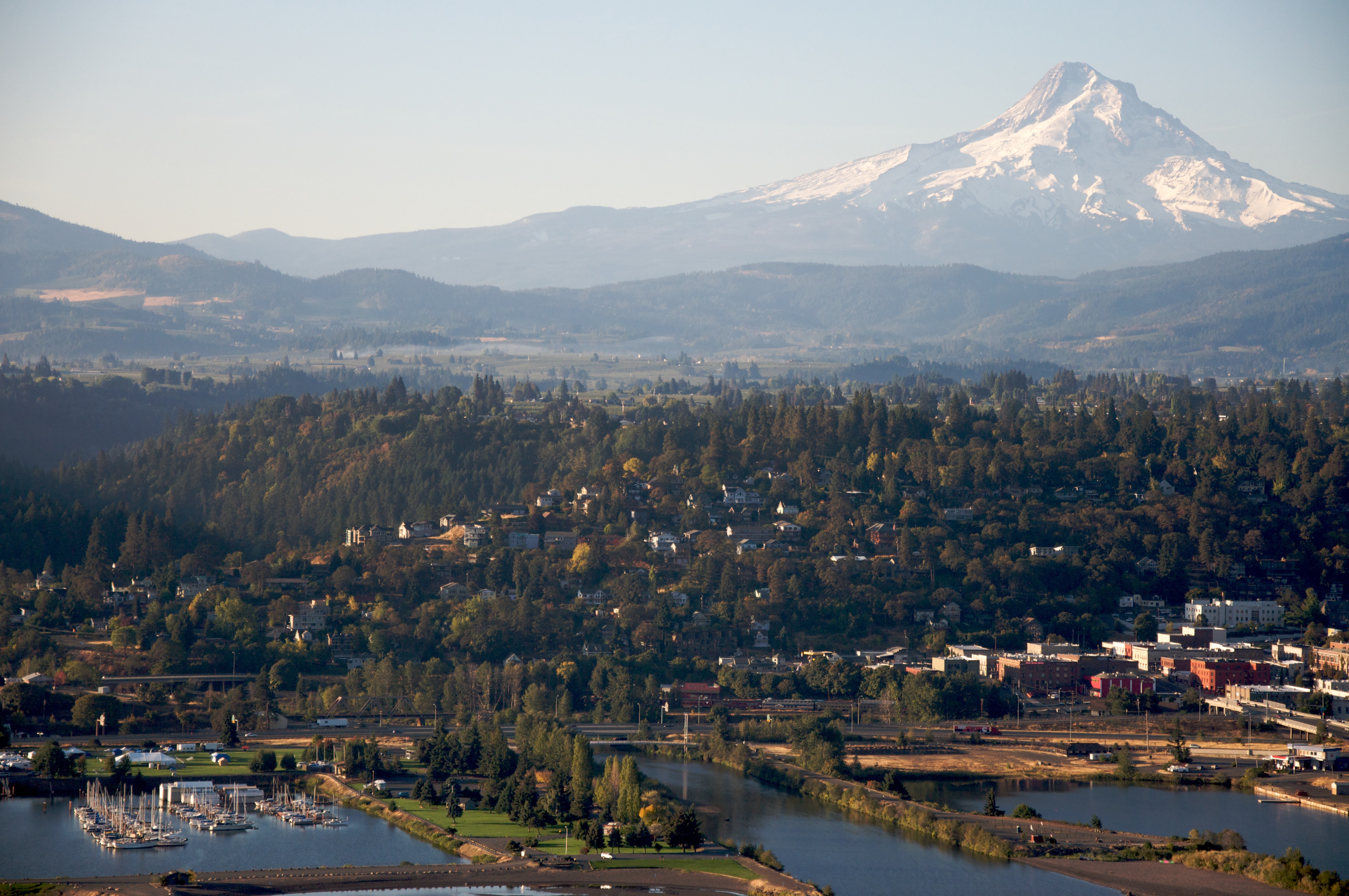
Boyd, Oregon
Boyd was a town in Wasco County, Oregon, United States, disincorporated in 1955, and now vacant except for a few abandoned homes, weathered outbuildings, and a derelict wooden grain elevator surrounded by the wheat fields, which still produce the gra..
Boyd, Oregon Wikipedia Page
About Our Data
The data on this page is estimated using a number of publicly available tools and resources. It is provided without warranty, and could contain inaccuracies. Use at your own risk.