Cairo, Oregon Facts
| Local Time | |
| Timezone | Mountain Daylight Time |
| Lat & Lng | 43.99600, -117.00905 |
Map of Cairo, Oregon
Interactive Map
Recent Nearby Earthquakes
Magnitude 3.0 and greater
| Date▼ | Time↕ | Magnitude↕ | Distance↕ | Depth↕ | Location↕ | Link |
|---|---|---|---|---|---|---|
| 7/25/09 | 8:57 AM | 3.2 | 59.3 km | 6,906 m | Oregon | usgs.gov |
| 4/24/07 | 4:33 AM | 3.5 | 84 km | 5,000 m | southern Idaho | usgs.gov |
| 10/2/05 | 1:43 AM | 3 | 98.9 km | 5,000 m | southern Idaho | usgs.gov |
| 9/30/05 | 2:59 PM | 3.5 | 99.8 km | 5,000 m | southern Idaho | usgs.gov |
| 9/30/05 | 10:54 AM | 3 | 92.3 km | 5,000 m | southern Idaho | usgs.gov |
| 9/29/05 | 1:50 PM | 3.8 | 98.4 km | 5,000 m | southern Idaho | usgs.gov |
| 9/23/05 | 6:02 PM | 3.2 | 93.2 km | 5,000 m | southern Idaho | usgs.gov |
| 9/22/05 | 5:19 AM | 3.1 | 93.1 km | 5,000 m | southern Idaho | usgs.gov |
| 12/15/04 | 12:17 AM | 3.5 | 88 km | 5,000 m | southern Idaho | usgs.gov |
| 12/14/04 | 3:49 PM | 3.2 | 85.6 km | 5,000 m | southern Idaho | usgs.gov |
Source: U.S. Geological Survey (USGS)
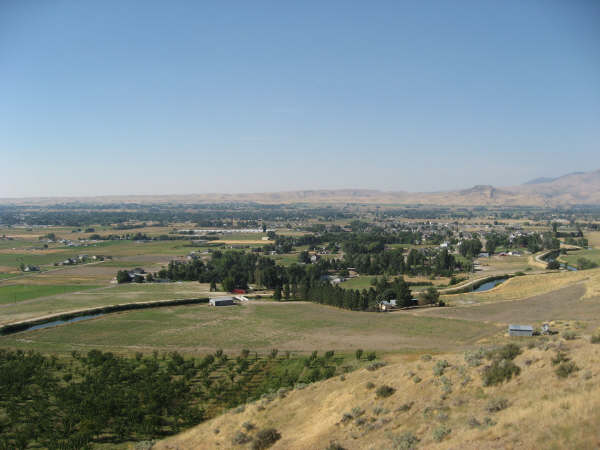
Cairo, Oregon
Cairo is an unincorporated community in Malheur County, Oregon, United States. Its elevation is 2192 feet (668 m). It is about four miles (6 km) southwest of Ontario and a half mile north of Cairo Junction, an intersection where U.S. Route 20/U.S. Ro..
Cairo, Oregon Wikipedia Page

About Our Data
The data on this page is estimated using a number of publicly available tools and resources. It is provided without warranty, and could contain inaccuracies. Use at your own risk.